


11 km Distance - approx. 12 Minutes driving time
Destination - Bergbahnstraße 22, 6780 Schruns, Austria
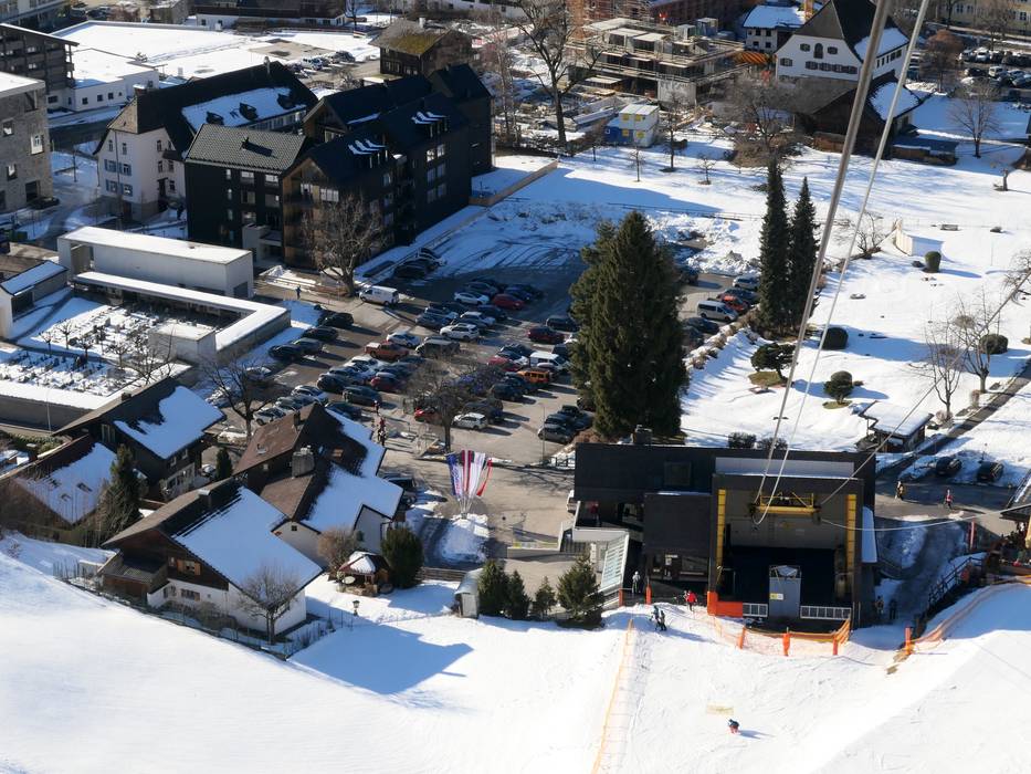
- Entry suitable for day visitors
- View on Google Maps
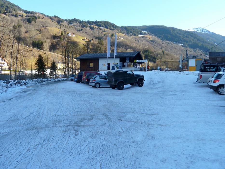
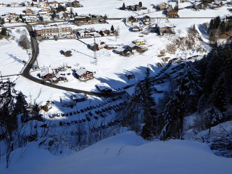
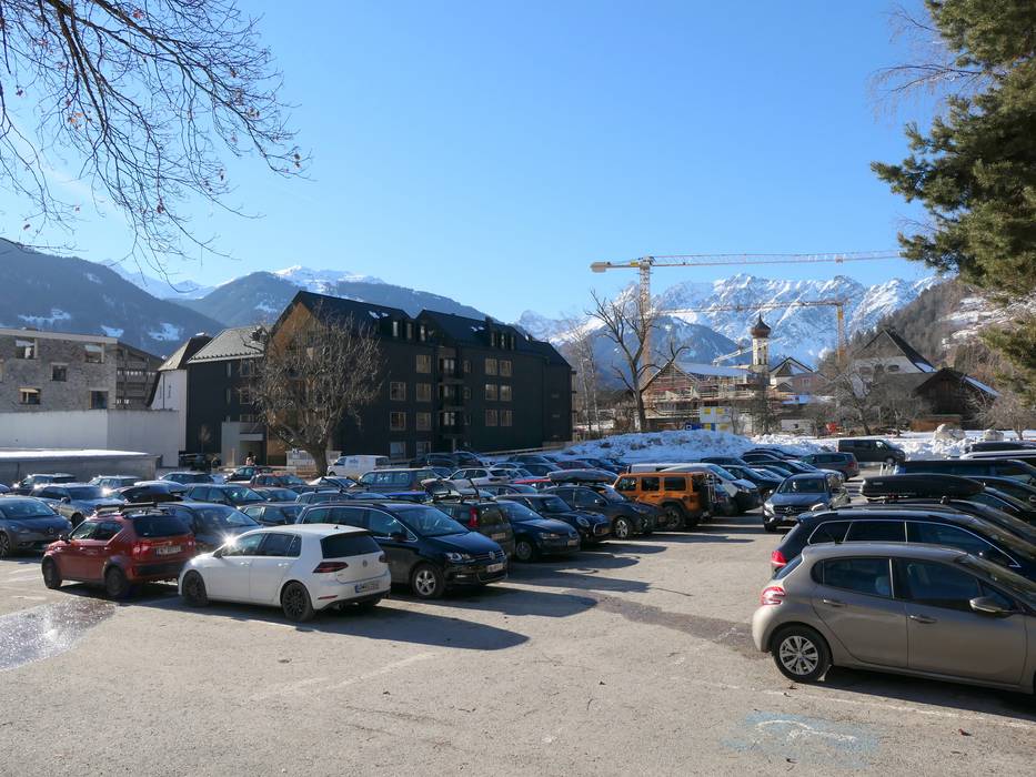
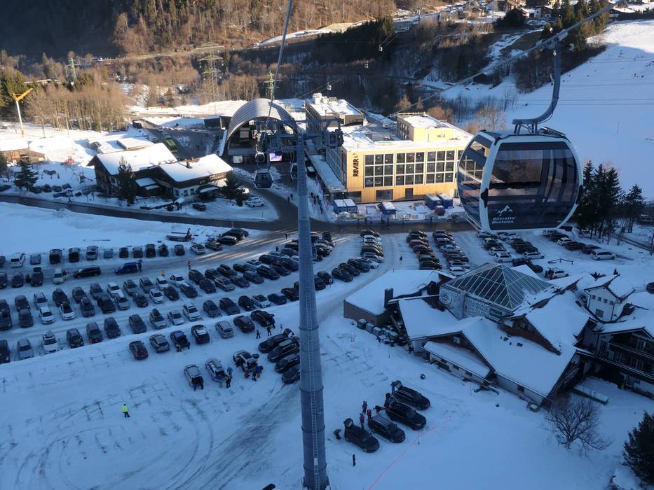
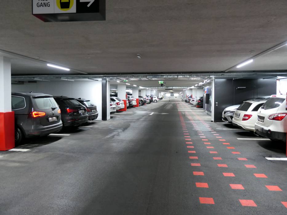
- limited amount available, tarmac car park
- for a fee
- Highway, Side road, well-developed, without significant incline
- Snow chains never actually required by snowfall
- Road closure due to avalanches extremely unlikely
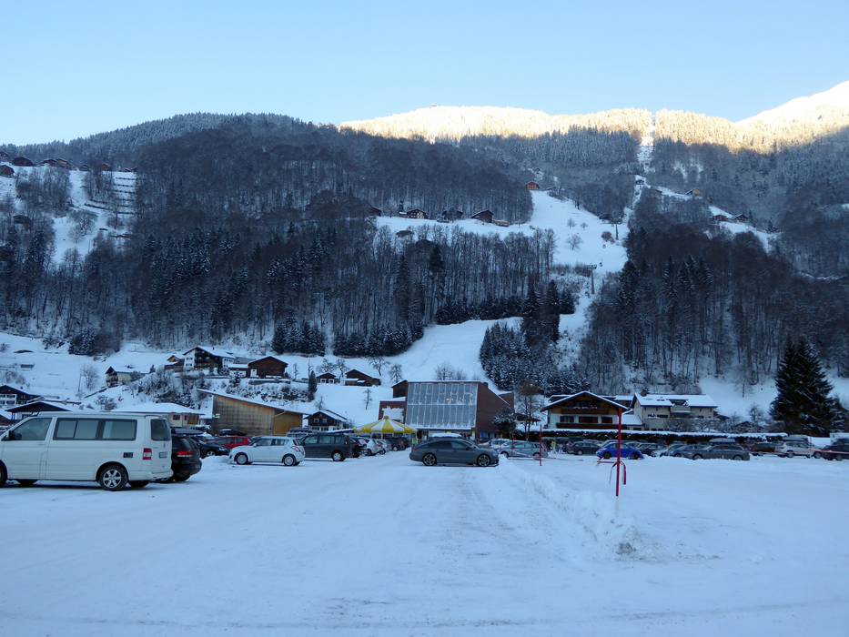
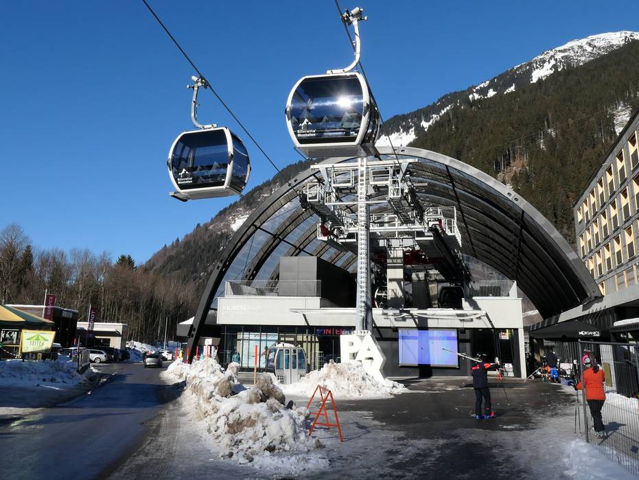
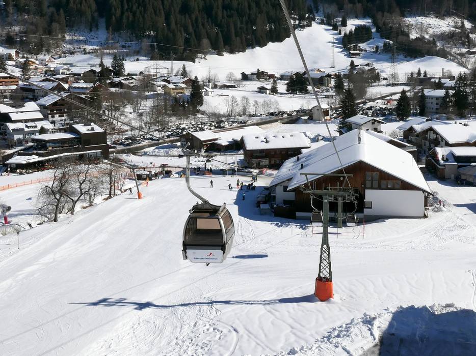
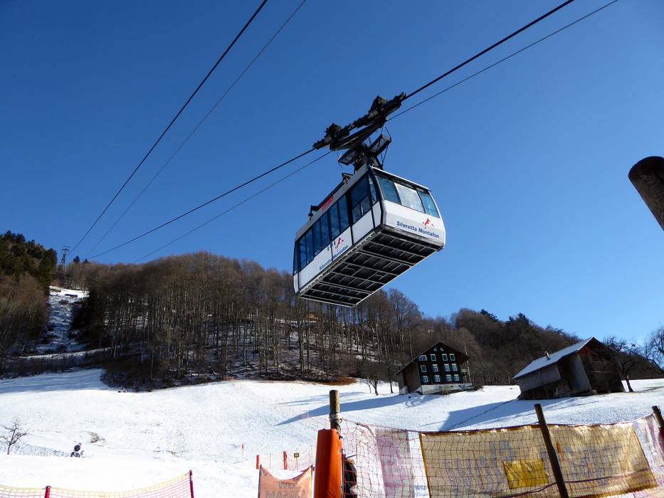
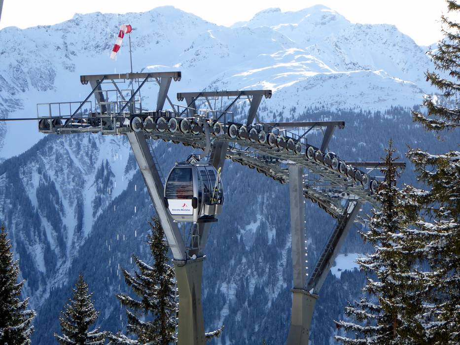
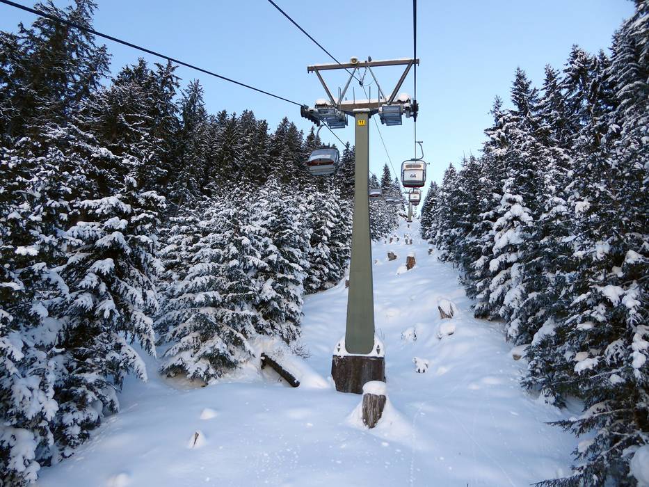
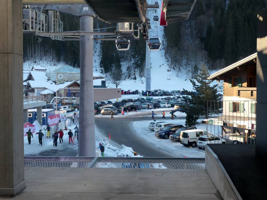
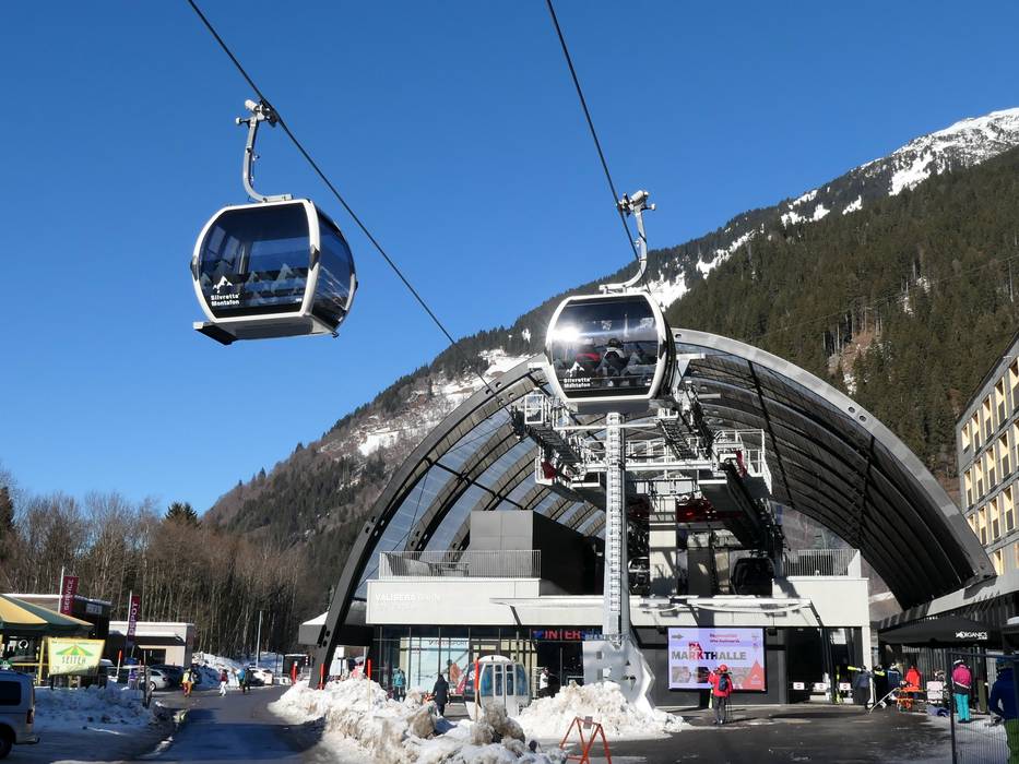
 Access to ski resort
  Town/village close to ski resort
  Traffic Junction