
Evaluated by Skiresort.info, the world's largest test portal for ski resorts.
The evaluation is done as follows
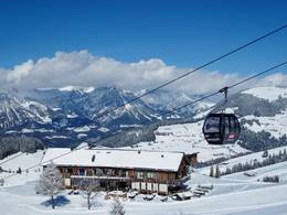
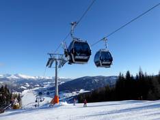
Orientation (Trail map, information boards, sign-postings) and safety in the ski resort Katschberg
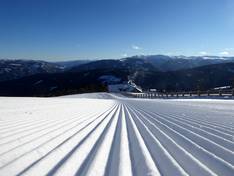
Trail map and overview maps
The printed trail maps are clear, detailed, and informative. The Branntweinlift crosses the Silverjet 2. Here, the trail map is not entirely accurate.
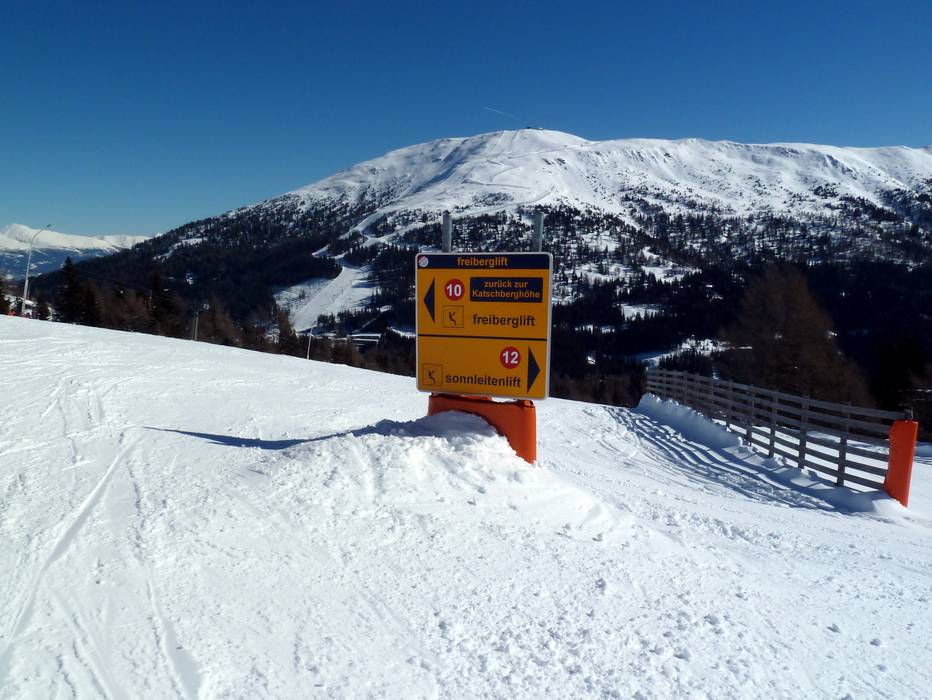
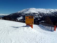
Information boards and sign-postings on the slopes
Overview boards are available in sufficient numbers at the ticket offices, ski slopes, and lifts to help guests find their way. The signage is excellent.
Trail map

Katschberg Season 2025/2026
Top Orientation


15 strengths of this ski resort


Feedback for the Skiresort.info Team? Please use this form

Select specific criteria
Top evaluation criteria
Further evaluation criteria
Orientation (trail map, information boards, sign-postings)
Evaluation criteria for special interests
Feedback for the Skiresort.info Team? Please use this form
Test Reports

Tips for the ski holiday