
Evaluated by Skiresort.info, the world's largest test portal for ski resorts.
The evaluation is done as follows
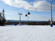
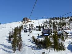
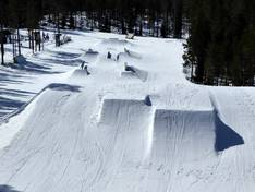
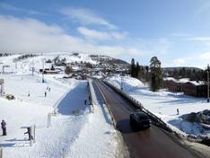
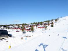
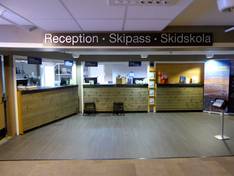
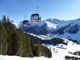
Orientation (Trail map, information boards, sign-postings) and safety in the ski resort Idre Fjäll
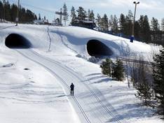
Trail map and overview maps
The slope map provides an excellent overview of the entire Idre Fjäll ski area. All lifts and slopes are included. Dining options, fire pits, and restrooms are also marked. On the reverse side, there is a cross-country trail map. It would be desirable to have some elevation details as well.
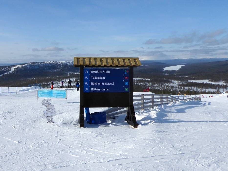
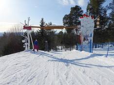
Information boards and sign-postings on the slopes
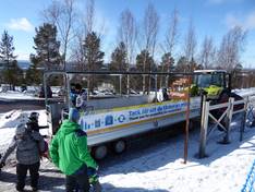
All slopes in the Idre Fjäll ski area are well signposted. At the summit and important intersections, you will find slope maps. Orientation on the slopes is therefore easy and you can find your way around well. Current operating information is only available online.
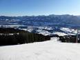
Trail map

Idre Fjäll Season 2025/2026
Top Orientation


14 strengths of this ski resort


Feedback for the Skiresort.info Team? Please use this form
Select specific criteria
Top evaluation criteria
Further evaluation criteria
Orientation (trail map, information boards, sign-postings)
Evaluation criteria for special interests
Feedback for the Skiresort.info Team? Please use this form
Book this ski resort
Test Reports
Tips for the ski holiday