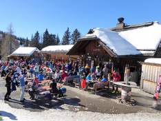
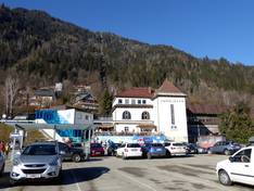
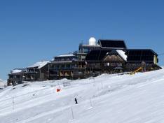
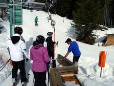
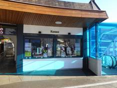
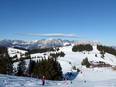
Orientation (Trail map, information boards, sign-postings) and safety in the ski resort Gerlitzen
Trail map and overview maps
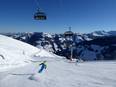
One piste map shows the Gerlitzen Alpe from a bird’s-eye view, while another displays the well-known perspective including access routes. Since the pistes run around the panoramic mountain Gerlitzen (1,911 m), having two different representations is very helpful. In addition, you’ll find detailed information about all lifts, pistes, huts, restaurants, and accommodations. Very easy pistes for beginners are marked in green. Prices and plenty of additional information can be found on the reverse side.
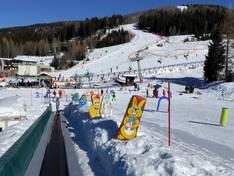
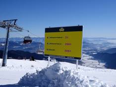
Information boards and sign-postings on the slopes
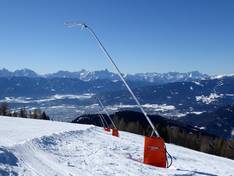
The signage on the slopes is good. At the valley stations, you can find up-to-date information about operational status.