

Evaluated by Skiresort.info, the world's largest test portal for ski resorts.
The evaluation is done as follows
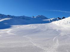
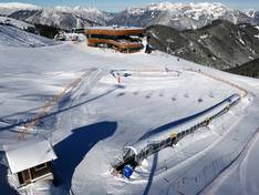
Orientation (Trail map, information boards, sign-postings) and safety in the ski resort Spieljoch – Fügen
Trail map and overview maps
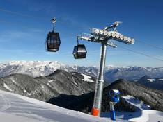
The slope map shows the ski areas Hochzillertal/Hochfügen as well as Spieljoch. The slopes and lifts are clearly and distinctly marked. Comprehensive ski bus information is provided.
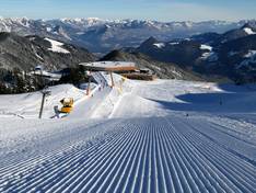
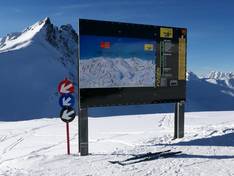
Information boards and sign-postings on the slopes
Thanks to the clear signage, it is very easy to find your way around the ski area. Up-to-date information is displayed on the information boards.
Trail map

Spieljoch – Fügen Season 2025/2026
13 strengths of this ski resort


Feedback for the Skiresort.info Team? Please use this form

Select specific criteria
Top evaluation criteria
Further evaluation criteria
Orientation (trail map, information boards, sign-postings)
Evaluation criteria for special interests
Feedback for the Skiresort.info Team? Please use this form