
Evaluated by Skiresort.info, the world's largest test portal for ski resorts.
The evaluation is done as follows
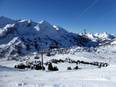
Orientation (Trail map, information boards, sign-postings) and safety in the ski resort Hochstein – Lienz
Trail map and overview maps
The slope map provides an excellent overview of both the Hochstein and Zettersfeld ski areas. Since the Lienzer Bergbahnen operate both ski areas, a single slope map contains all the information for both. All lifts, slopes, and prices are listed. On the reverse side, you will find additional information about the ski areas.
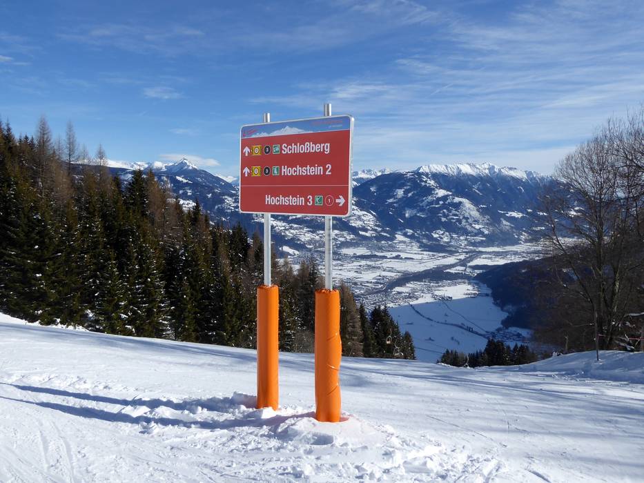
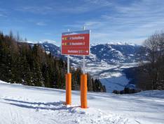
Information boards and sign-postings on the slopes
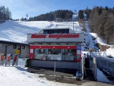
It is very easy to find your way around the ski area. Trail maps are displayed at important points, and detailed signs are posted at intersections. The current status of the slopes and lifts can be found at the valley station.
Trail map

Lienzer Bergbahnen Season ---- !!! closed temporarily/vorübergehend außer Betrieb
Top Orientation


7 strengths of this ski resort


Feedback for the Skiresort.info Team? Please use this form
Select specific criteria
Top evaluation criteria
Further evaluation criteria
Orientation (trail map, information boards, sign-postings)
Evaluation criteria for special interests
Feedback for the Skiresort.info Team? Please use this form
Book this ski resort
Test Reports
Tips for the ski holiday