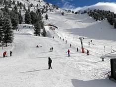
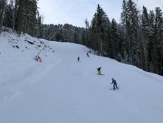
Orientation (Trail map, information boards, sign-postings) and safety in the ski resort Hochoetz – Oetz
Trail map and overview maps
The slope map provides a detailed overview of the Hochoetz and Kühtai ski areas. All lifts and slopes are clearly marked. On the reverse side, you will find further information about the ski area, various dining options, the WIDIVERSUM, children’s highlights, ski schools, and much more.
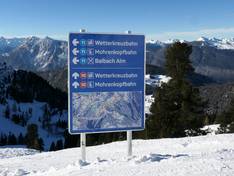
Information boards and sign-postings on the slopes
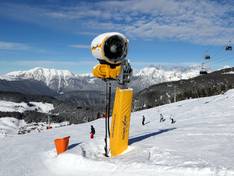
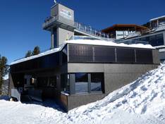
At the valley stations and the Hochoetz mountain station, large information boards display the slope map and the status of the slopes and lifts. Clear slope signposting is provided at all junctions. Ideally, the signposting often includes a slope map. Warnings are given for hazards or steep slopes.