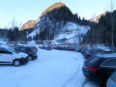
Orientation (Trail map, information boards, sign-postings) and safety in the ski resort Wurzeralm – Spital am Pyhrn
Trail map and overview maps
The slope map provides an excellent representation of the two ski areas, Wurzeralm and Hinterstoder. All slopes and lifts are shown in detail. Elevation information and attractions in the ski area are also included. However, the restaurants could be marked and described more precisely. On the reverse side, you will find prices, descriptions of the ski areas in three languages, and further information.
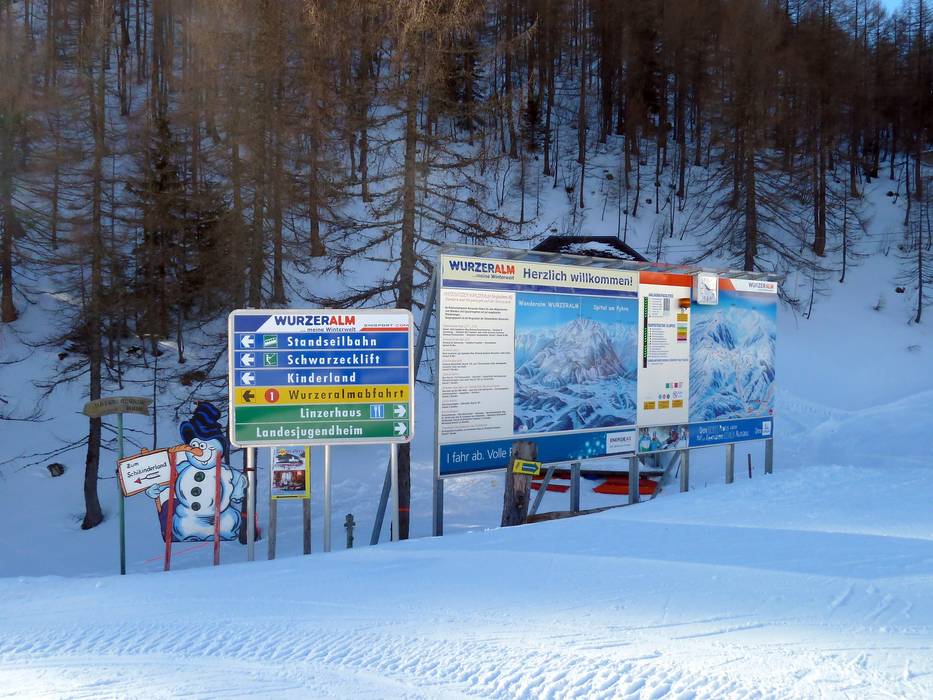
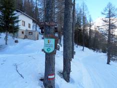
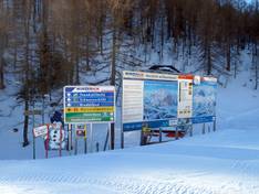
Information boards and sign-postings on the slopes
It is easy to find your way around the Wurzeralm ski resort. At both the valley and mountain stations, you will find piste maps with up-to-date information. All the slopes are signposted.