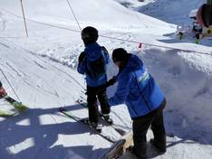
Orientation (Trail map, information boards, sign-postings) and safety in the ski resort Weissee Gletscherwelt – Uttendorf
Trail map and overview maps
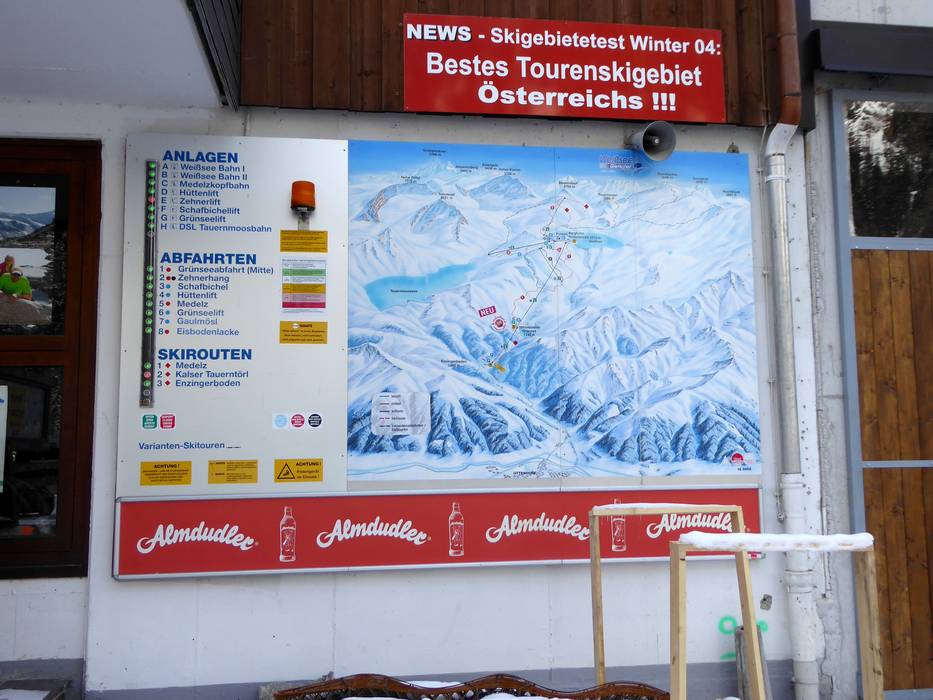
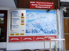
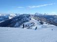
The slope map provides a good overview of the Weißsee Gletscherwelt ski area. All slopes and lifts are indicated. The individual names of the slopes could still be added. Additionally, you can find information about dining options, prices, special offers, and further details.
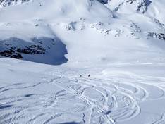
Information boards and sign-postings on the slopes
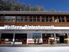
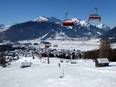
At the valley station at Enzingerboden, you will find a large slope map with up-to-date information on operating status. In the ski area itself, there is a slope map at the mountain station of the gondola lift and large information boards at several junctions. All slopes are clearly marked with poles along the edge. This ensures that you can easily find your way, even in foggy conditions in the high alpine terrain.
Trail map
Weißsee Gletscherwelt – Uttendorf Season 2025/2026