Orientation (Trail map, information boards, sign-postings) and safety in the ski resort Stubai Glacier (Stubaier Gletscher)
Trail map and overview maps
The piste map contains information about lifts and slopes as well as information about mountain restaurants, snowpark, Big Family, ski schools, ski rental, services, events, and the Top of Tyrol viewing platform. The map is graphically well designed and very clear.
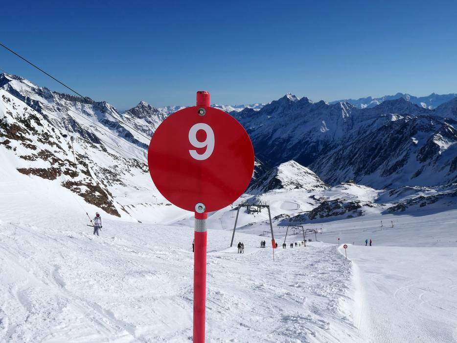
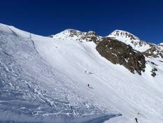
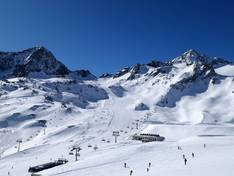
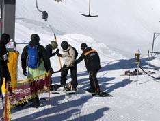
Information boards and sign-postings on the slopes
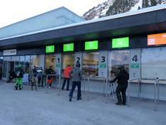
At the valley stations and at key points in the ski area, large information boards are available to visitors, providing details on snow conditions, avalanche risk, and the opening status of slopes and lifts. Opening times are posted everywhere, and the area is very well connected with a clearly designed signage system.