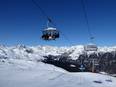
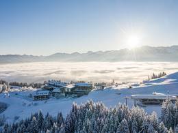
Orientation (Trail map, information boards, sign-postings) and safety in the ski resort Söllereck – Oberstdorf
Trail map and overview maps
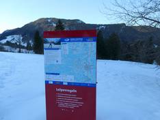
The slope map provides an excellent representation of the Söllereck ski area. On site, you will receive a dedicated slope map that shows only Söllereck and not the entire Oberstdorf Kleinwalsertal region. All highlights are described in detail. However, information and names of the lifts could be added in some places.
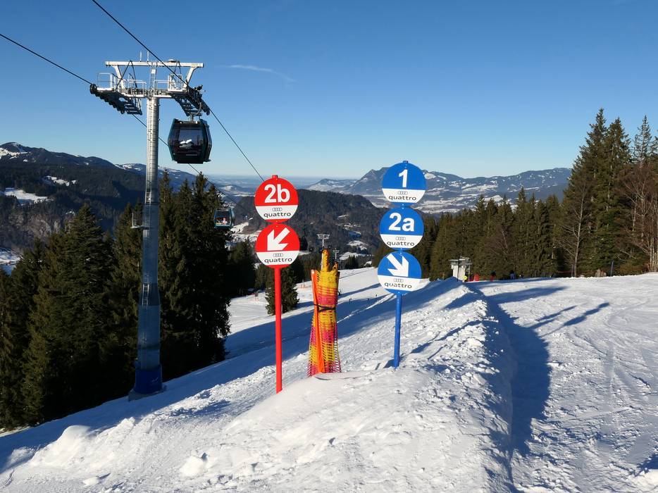
Information boards and sign-postings on the slopes
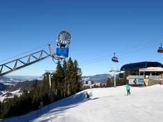
The signage on the slopes is clear, unambiguous, and consistent. Large information boards, including opening status and info screens at key points in the ski area, make orientation easy. All ski areas operated by Bergbahnen Kleinwalsertal Oberstdorf feature uniform signage. Each ski area is marked with its own color.