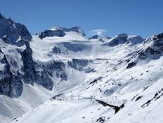
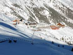
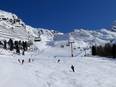
Orientation (Trail map, information boards, sign-postings) and safety in the ski resort Sölden
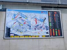
Trail map and overview maps
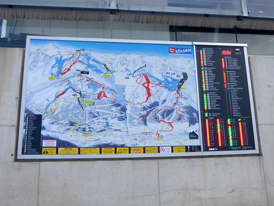
The slope map provides an excellent representation of the Sölden ski area. All slopes are realistically depicted with their course and width. All lifts, dining options, parking areas, events, ski pass prices, and further information are described in detail.
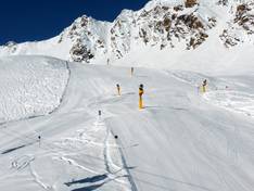
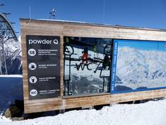
Information boards and sign-postings on the slopes
A piste guidance system developed by the Sölden mountain railways with large-format orientation boards and realistic panoramic maps makes navigation in the Sölden ski area easier. The signage is exemplary and consistent. All pistes are very well signposted, and at important points in the ski area you will find up-to-date information on open lifts and pistes. Electronic information is also provided at the entrances to the individual facilities.