Orientation (Trail map, information boards, sign-postings) and safety in the ski resort Silvretta Montafon
Trail map and overview maps
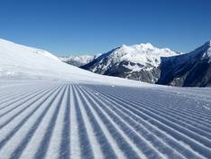
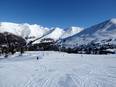
The piste map provides an excellent overview of the entire Silvretta Montafon area. Lifts, pistes, and all important information are indicated. On the reverse side, you’ll find information about weekly events and special occasions. Additionally, there is a separate fold-out map for advanced skiers and freeriders. This map highlights all freeride areas and the challenging pistes (Skorpione).
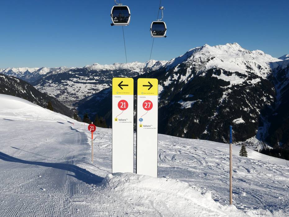
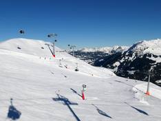
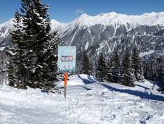
Information boards and sign-postings on the slopes
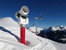
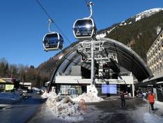
For the 2010/2011 season, a completely new slope guidance system was developed and introduced for Silvretta Montafon. You will find many familiar elements such as the slope numbers in blue, red, and black, but also many new features. A glance at the signposts not only shows where each slope leads, but also which facilities are located along the way. For the lifts situated on that slope, it also indicates which facilities and additional lifts can be reached. This makes it easier and quicker to find your way around and to make the most of the diverse possibilities offered by Silvretta Montafon. In addition, you will find electronic displays at the main locations and at the entry points, providing up-to-date information on slopes, webcams, and safety.