Ski resorts Austria


Evaluated by Skiresort.info, the world's largest test portal for ski resorts.
The evaluation is done as follows
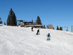
Orientation (Trail map, information boards, sign-postings) and safety in the ski resort Wannenjoch/Rohnenspitze – Schattwald/Zöblen
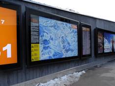
Trail map and overview maps
The fold-out slope map is very clear. It shows all the ski areas of the Tannheimer Tal. Lifts, slopes, and huts are marked. It also includes information on rates and contact details.
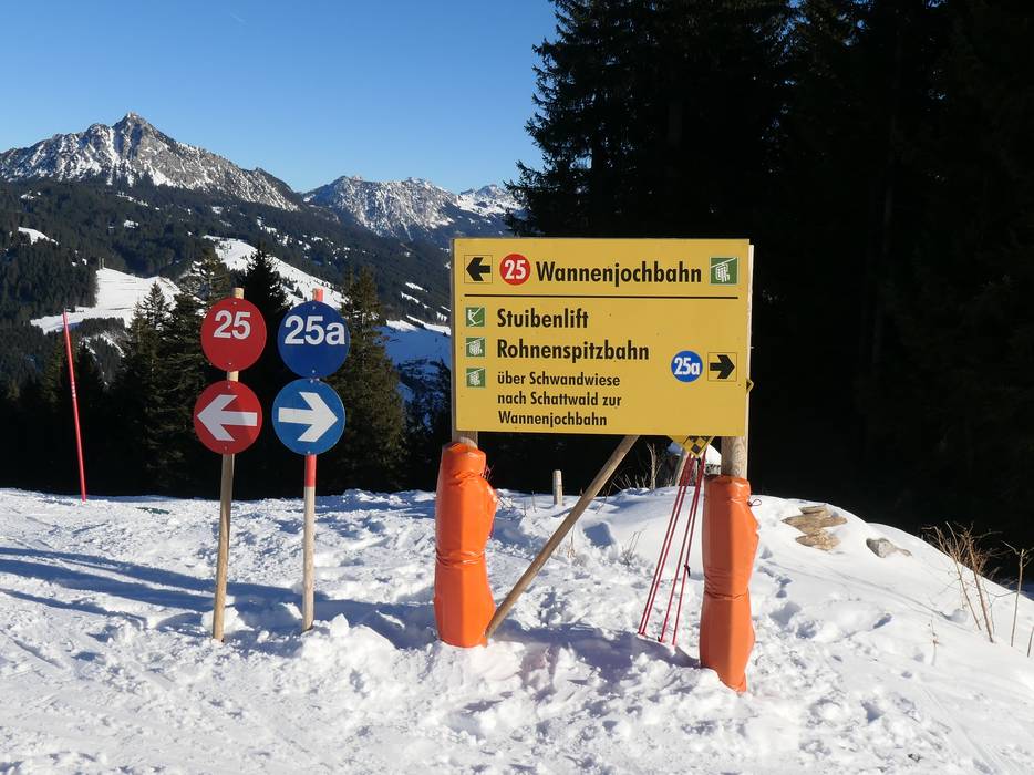
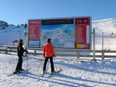
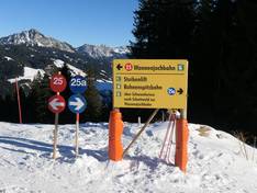
Information boards and sign-postings on the slopes
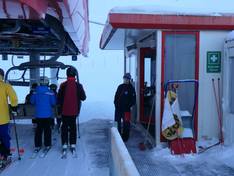
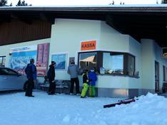
The Schattwald/Zöblen ski area is clearly laid out and sufficiently signposted. The slopes are numbered. Large overview maps are located at the valley stations.
Trail map

Tannheim/Schattwald/Zöblen Season 2025/2026
Top Orientation


7 strengths of this ski resort


Feedback for the Skiresort.info Team? Please use this form
Select specific criteria
Top evaluation criteria
Further evaluation criteria
Orientation (trail map, information boards, sign-postings)
Evaluation criteria for special interests
Feedback for the Skiresort.info Team? Please use this form
Book this ski resort
Test Reports


Tips for the ski holiday