Test result
Evaluated by Skiresort.info, the world's largest test portal for ski resorts.
The evaluation is done as follows
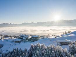
Orientation (Trail map, information boards, sign-postings) and safety in the ski resort Sahnehang
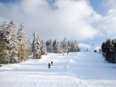
Trail map and overview maps
Sahnehang does not have its own slope map. However, it is marked on the panoramas of the Skiliftkarussell Winterberg and the Skikarussell Altastenberg. Even though it may appear so on the former: there is no connection to the Nordhang and therefore also not to the Skiliftkarussell Winterberg. However, you can reach the entrance there in two minutes by bus.
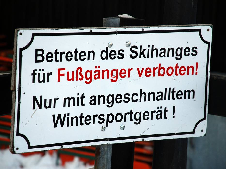
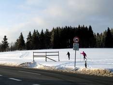
Information boards and sign-postings on the slopes
The slope marking commonly found in the Alps is missing, but given the manageable size of the Sahnehang, it is also unnecessary.
Trail map

Sahnehang Season 2025/2026
Top Orientation


5 strengths of this ski resort
Feedback for the Skiresort.info Team? Please use this form

Select specific criteria
Top evaluation criteria
Further evaluation criteria
Orientation (trail map, information boards, sign-postings)
Evaluation criteria for special interests
Feedback for the Skiresort.info Team? Please use this form
Test Reports
Tips for the ski holiday