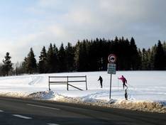
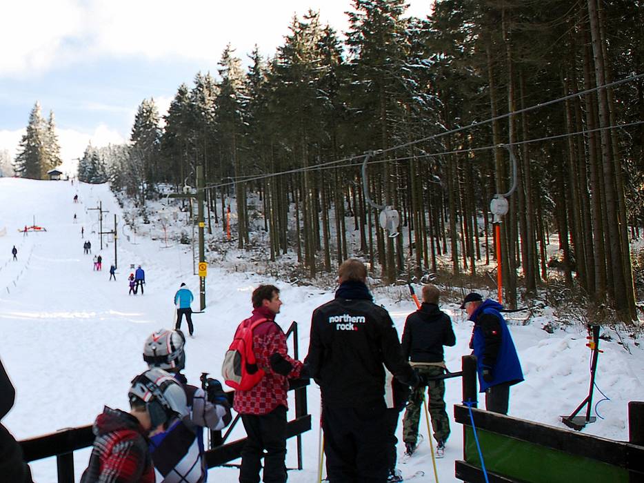
Germany
Select region
close
Continents
Countries
Mountain ranges
Please select

Access Sahnehang/Parking Sahnehang

Test result3 out of 5 stars

Evaluated by Skiresort.info, the world's largest test portal for ski resorts.
The evaluation is done as follows


Access, Parking Sahnehang

You must travel many kilometers on country roads to get to the Sahnehang and the speed limit is usually 70 km/h. If you happen to have one of the many lumber trucks in front of you, it takes even longer. When coming from the Ruhr area, it's best to exit the A46 already in Meschede and travel via Remblinghausen, Boedefeld, Siedlinghausen and Altastenberg. This avoids the frequent traffic jams in Bestwig and before Winterberg. When arriving from the west, turn off towards Westfeld in Oberkirchen to get to the parking lot for the Sahnehang on the ridge of the Rothaar Mountains (right after the "Achtung Beschneiung!" (warning snow-making) sign.


Access via Autobahn A46, Exit direction of B7/Bundesstraße

Skilift Sahnehang (Winterberg)

Ideal entry for day visitors

  • Distance: 33 km
  • approx. 34 Minutes driving time

Roads: Main street, well-developed, without significant incline
Parking spaces: enough available, gravel car park, free of charge
View on Google Maps


Access via Autobahn A45, Hanau-Dortmund, Exit Olpe

Skilift Sahnehang (Winterberg)

Ideal entry for day visitors

  • Distance: 61 km
  • approx. 64 Minutes driving time

Roads: Main street, well-developed, with significant incline
Parking spaces: enough available, gravel car park, free of charge
View on Google Maps


Access via Autobahn A44, Dortmund-Kassel, Junction Zierenberg

Skilift Sahnehang (Winterberg)

Ideal entry for day visitors

  • Distance: 74 km
  • approx. 75 Minutes driving time

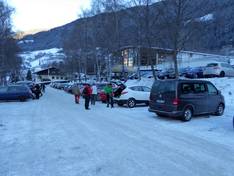
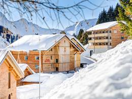
Roads: Main street, Side road, well-developed, without significant incline
Parking spaces: enough available, gravel car park, free of charge
View on Google Maps


Access via Autobahn A480/A485, Gießener Nord intersection

Skilift Sahnehang (Winterberg)

Ideal entry for day visitors

  • Distance: 86 km
  • approx. 77 Minutes driving time

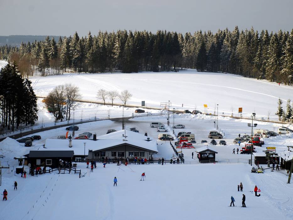
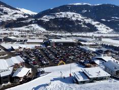
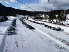
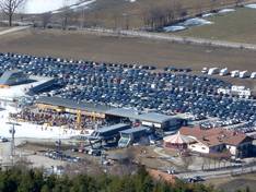
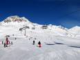
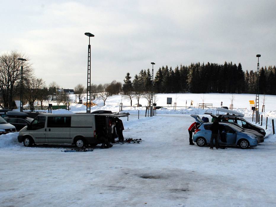
Roads: Highway, Main street, well-developed, with significant incline
Parking spaces: enough available, gravel car park, free of charge
View on Google Maps


Route planner »


Feedback for the Skiresort.info Team? Please use this form »

Select specific criteria
Top evaluation criteria
Further evaluation criteria
Evaluation criteria for special interests
Test Reports
Tips for the ski holiday