Change sorting method:

Arnsberg: orientation within ski resorts

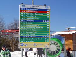
Ski resorts with the best orientation aids (trail map, information boards, sign-posting) in the Administrative Region of Arnsberg


9 test reports

Best rating:
4 out of 5 stars

Evaluated by Skiresort.info, the world's largest evaluation and test portal for ski resorts.
Click here for rating process info


Ski resorts with the best orientation aids in the Administrative Region of Arnsberg

1-9 out of 9 ski resorts

Test result: 4 out of 5 stars
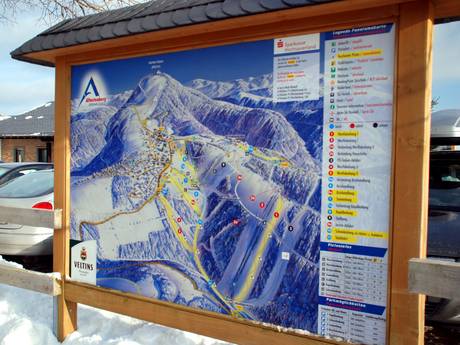
The trail map optimally depicts the ski resort with its lifts, slopes and infrastructure. more

Test result: 3 out of 5 stars
The trail map on the website is more of a sketch, but it does give a good overview. more

Test result: 3 out of 5 stars
The trail map shows all important details (except the forest run). The location of the two t-bar lifts… more

Test result: 3 out of 5 stars
The very complex topography of the ski resort with slopes leading in all directions is shown… more

Test result: 3 out of 5 stars
The trail map depicts the ski area and the surrounding village very vividly. more

Test result: 2 out of 5 stars
The Sahnehang does not have its own trail map, but it is included on the panorama map for the… more

Test result: 2 out of 5 stars
The simple trail map depicts the area correctly. more

Test result: 2 out of 5 stars
There is no trail map for the Burbach ski area. However, if you look up at the slope from the ski hut,… more

Test result: 1 out of 5 stars
There is no trail map, but it really isn't necessary for the 1 lift. more
1-9 out of 9 ski resorts