
Evaluated by Skiresort.info, the world's largest test portal for ski resorts.
The evaluation is done as follows
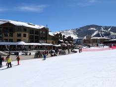
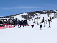
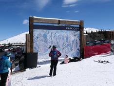
Orientation (Trail map, information boards, sign-postings) and safety in the ski resort Park City
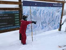
The piste map provides an excellent overview of the ski area. All slopes and lifts are clearly marked. Important points in the ski area are indicated. The base stations Park City Mountain Village and Canyons Village are described in detail.
Numerous information boards with trail maps are set up throughout the ski area. At some trail maps, staff are even available to answer questions. On some chairlifts, trail maps are attached to the safety bars. Lift waiting times can be found in several locations. The signage is clear. The ski area boundaries and open or closed sections are easy to identify.


Feedback for the Skiresort.info Team? Please use this form