Test result
Evaluated by Skiresort.info, the world's largest test portal for ski resorts.
The evaluation is done as follows
Orientation (Trail map, information boards, sign-postings) and safety in the ski resort Ochsenkopf
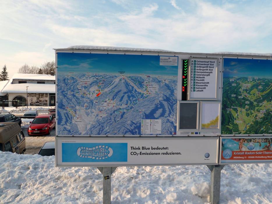
Trail map and overview maps
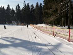
The piste map provides a good overview of the entire Ochsenkopf region. All ski lifts and pistes in the area are marked. It would be helpful to have some additional altitude information for better orientation. In addition, there are detailed cross-country trail maps for the whole region.
Information boards and sign-postings on the slopes
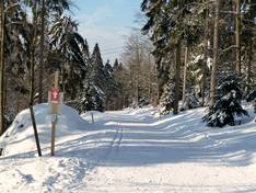
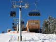
It’s easy to find your way around the ski area, as there is only a north and south side. Signs are posted at the summit. At the valley stations, you’ll find information about which lifts and slopes are open.
Trail map

Ochsenkopf Season 2025/2026
Top Orientation


5 strengths of this ski resort


Feedback for the Skiresort.info Team? Please use this form
Select specific criteria
Top evaluation criteria
Further evaluation criteria
Orientation (trail map, information boards, sign-postings)
Evaluation criteria for special interests
Feedback for the Skiresort.info Team? Please use this form
Book this ski resort
Test Reports
Tips for the ski holiday