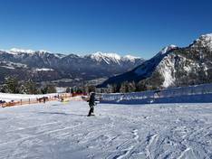
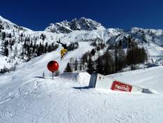
Orientation (Trail map, information boards, sign-postings) and safety in the ski resort Nassfeld – Hermagor
Trail map and overview maps
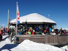
The slope map of Nassfeld is exemplary. All lifts are marked with their names, lengths, and elevation differences. You will also find all slopes with numbers, names, and lengths. All refreshment stops are included with photos and detailed descriptions. Additional information such as important phone numbers, altitude details, and much more can also be found on the slope map. The highlights on the slopes are excellently placed and therefore easy to find.
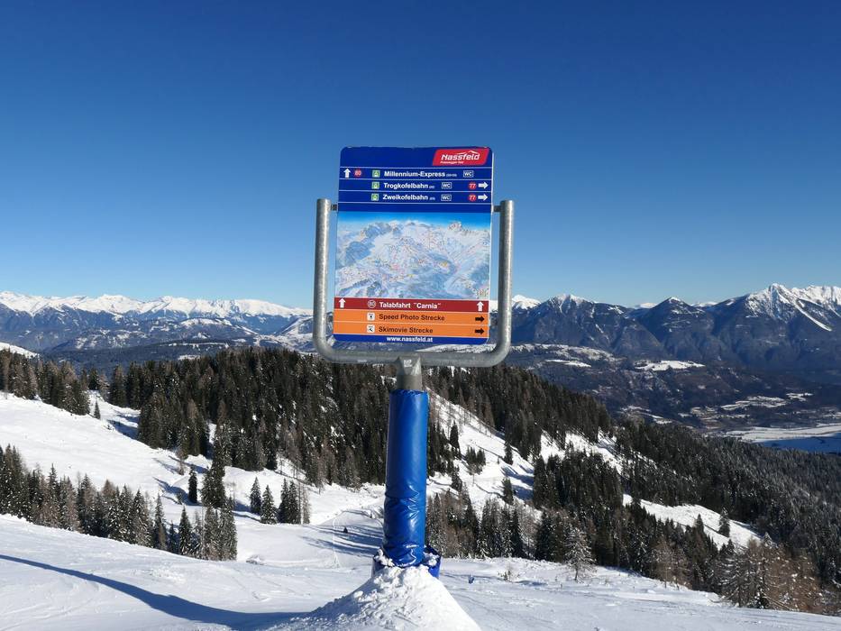
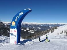
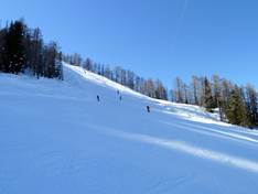
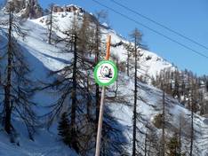
Information boards and sign-postings on the slopes
The slope signage in the Nassfeld ski resort is very good and detailed. In addition to the numerous information boards and slope maps, colors are also used. Depending on where you want to go, you can follow a specific color. At most lift entrances, you will find detailed information.