Orientation (Trail map, information boards, sign-postings) and safety in the ski resort Killington
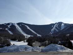
Trail map and overview maps
The trail map provides an excellent overview of the entire Killington ski area. All slopes, lifts, base stations, and mountain peaks are clearly marked and described in detail. You can find all parking options, dining spots, and many altitude indications. On the back of the trail map, you will find additional interesting information.
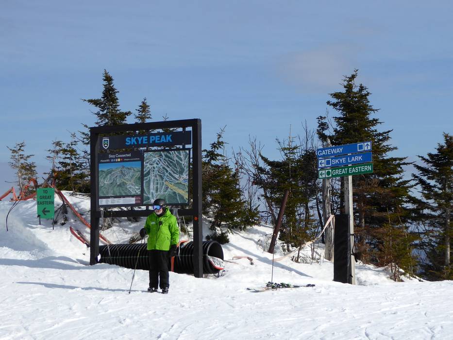
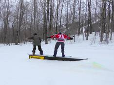
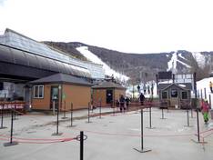
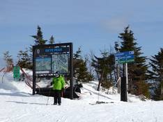
Information boards and sign-postings on the slopes
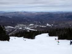
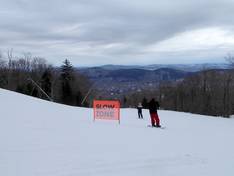
All slopes and lifts are very well signposted. Large piste maps are available at almost all mountain and valley stations. Staff are also partially present to answer questions. The various valley stations with parking lots are all marked in different colors. This makes it easy to find your way back to your car. Digital displays complete the offer.