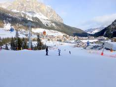
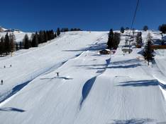
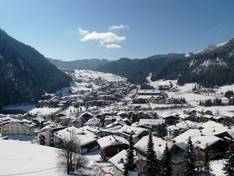
Orientation (Trail map, information boards, sign-postings) and safety in the ski resort Alta Badia
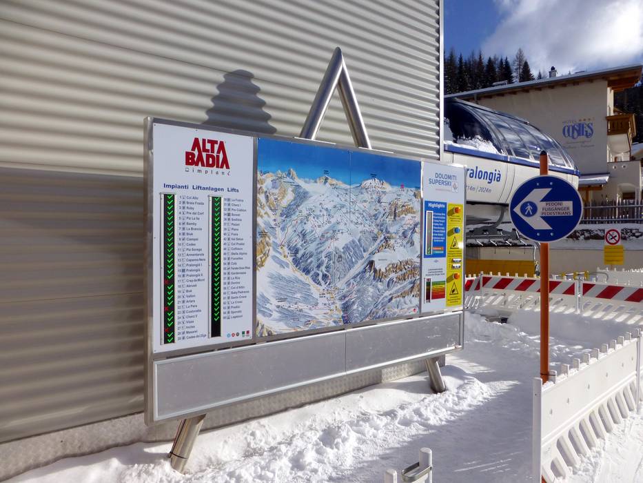
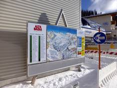
Trail map and overview maps
The piste map is clearly laid out and shows the entire Alta Badia ski area. In addition, the connections to Gröden and Arabba are marked. All lifts and cable cars are labeled with their names. On the reverse side, depending on the map, you will find either all the ski areas of Dolomiti Superski or the complete Sella Ronda.
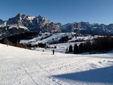
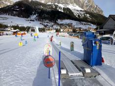
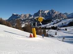
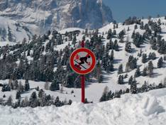
Information boards and sign-postings on the slopes
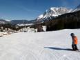
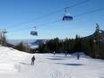
It is very easy to find your way around the ski area. The two colors, green and orange, clearly indicate the different directions around the Sella massif. Signposts lead to all locations in Alta Badia. However, at some points, comprehensive information boards could be added.