

Evaluated by Skiresort.info, the world's largest test portal for ski resorts.
The evaluation is done as follows
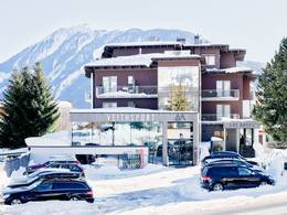
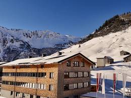
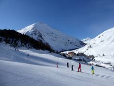
Orientation (Trail map, information boards, sign-postings) and safety in the ski resort Vent
Trail map and overview maps
The slope map provides an excellent overview of the Vent ski area. All lifts and slopes are marked. Additionally, you will find information about the toboggan run, cross-country trails, and winter hiking paths.
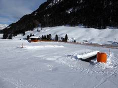
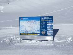
Information boards and sign-postings on the slopes
At all key points in the Vent ski area, you will find information boards with the slope map. All slopes are very well signposted. Current information could still be added.
Trail map

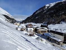
Vent Season 2025/2026
Top Orientation


9 strengths of this ski resort


Feedback for the Skiresort.info Team? Please use this form
Select specific criteria
Top evaluation criteria
Further evaluation criteria
Orientation (trail map, information boards, sign-postings)
Evaluation criteria for special interests
Feedback for the Skiresort.info Team? Please use this form
Book this ski resort
Test Reports

Tips for the ski holiday