
Evaluated by Skiresort.info, the world's largest test portal for ski resorts.
The evaluation is done as follows
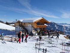
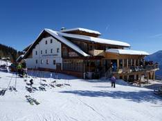
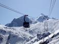
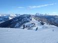
Orientation (Trail map, information boards, sign-postings) and safety in the ski resort Zettersfeld – Lienz
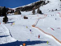
Trail map and overview maps
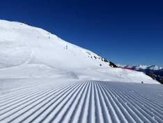
The slope map provides an excellent overview of the Zettersfeld ski area. All lifts, slopes, and prices are listed. On the reverse side, you will find further information about the Fun & Race Area and other offers at Zettersfeld.
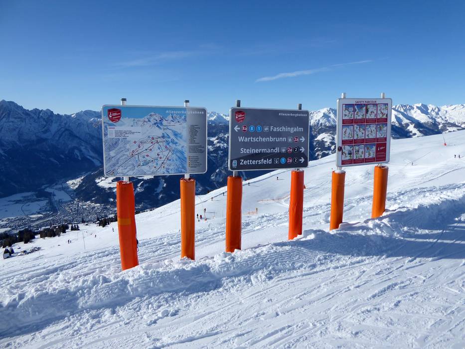
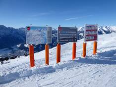
Information boards and sign-postings on the slopes
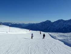
At the valley stations, you will find large slope maps with up-to-date operating information. The slopes in the ski area are very well signposted. Along the family run, the Safety Parcours clearly presents the 10 FIS rules of conduct.
Trail map

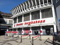
Lienzer Bergbahnen Season 2025/2026
Top Orientation


11 strengths of this ski resort


Feedback for the Skiresort.info Team? Please use this form
Select specific criteria
Top evaluation criteria
Further evaluation criteria
Orientation (trail map, information boards, sign-postings)
Evaluation criteria for special interests
Feedback for the Skiresort.info Team? Please use this form
Book this ski resort
Test Reports
Tips for the ski holiday