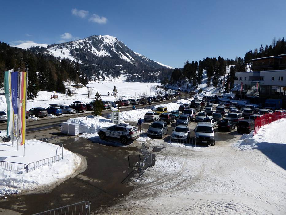
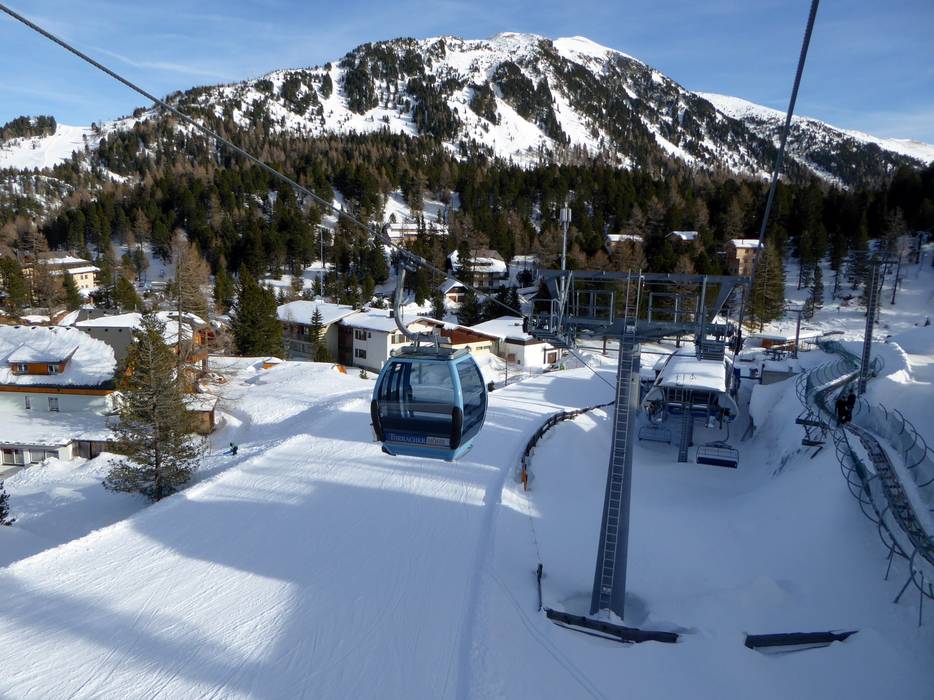
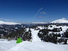
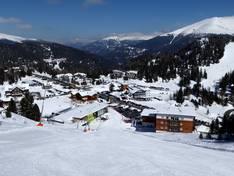
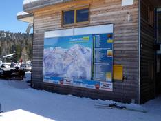
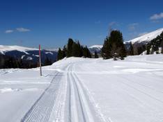
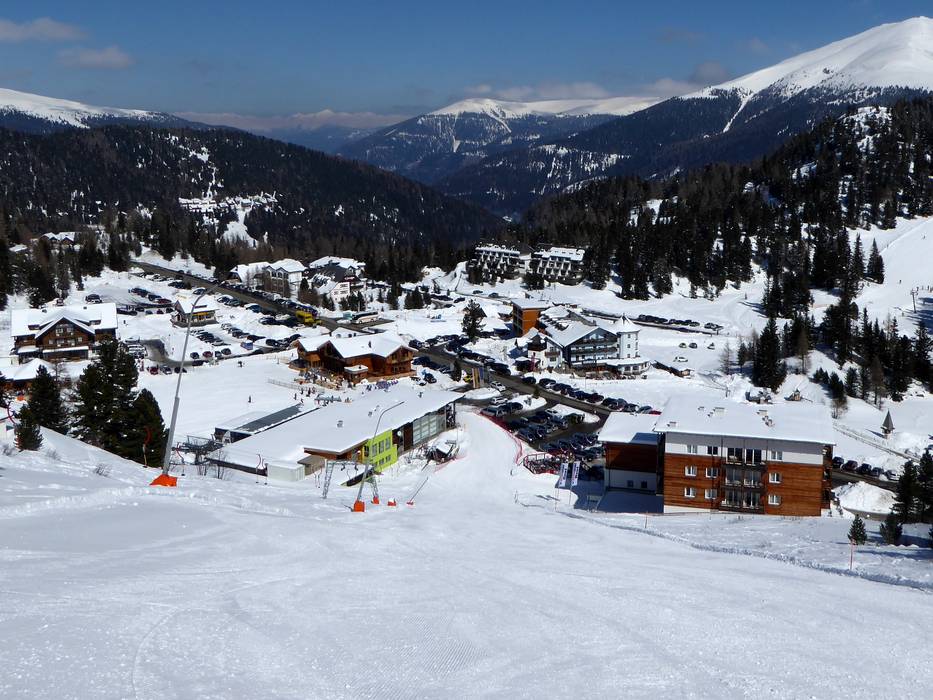
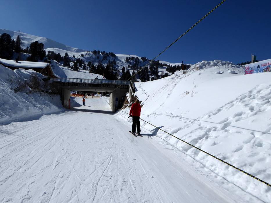
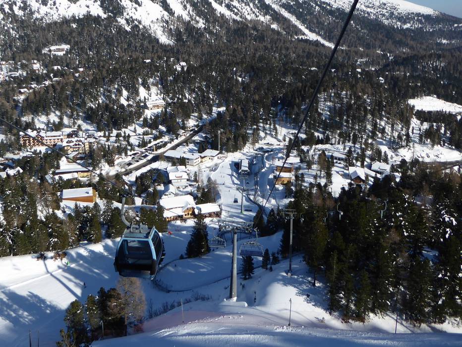
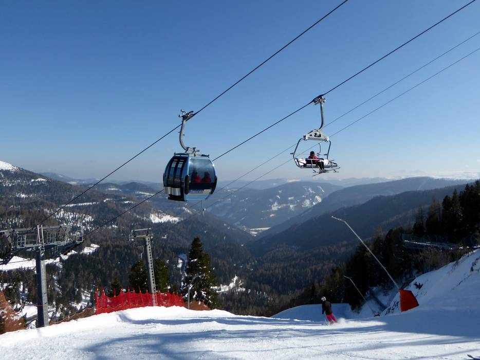
The ski resort is located on the border between Styria and Carinthia. The Turracher Höhe starts at the highest point of an Alpine pass, with mountain roads leading up from the north and south to an elevation of 1,763 meters. The nearest motorway (A10 Tauern Motorway) is about 50 km away. Exits are at St. Michael im Lungau or Villach. Free parking is available at the lifts and throughout the Turracher Höhe.
Access via A10 Tauern Motorway, exit Sankt Michael im Lungau
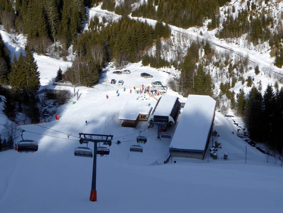
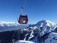
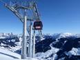
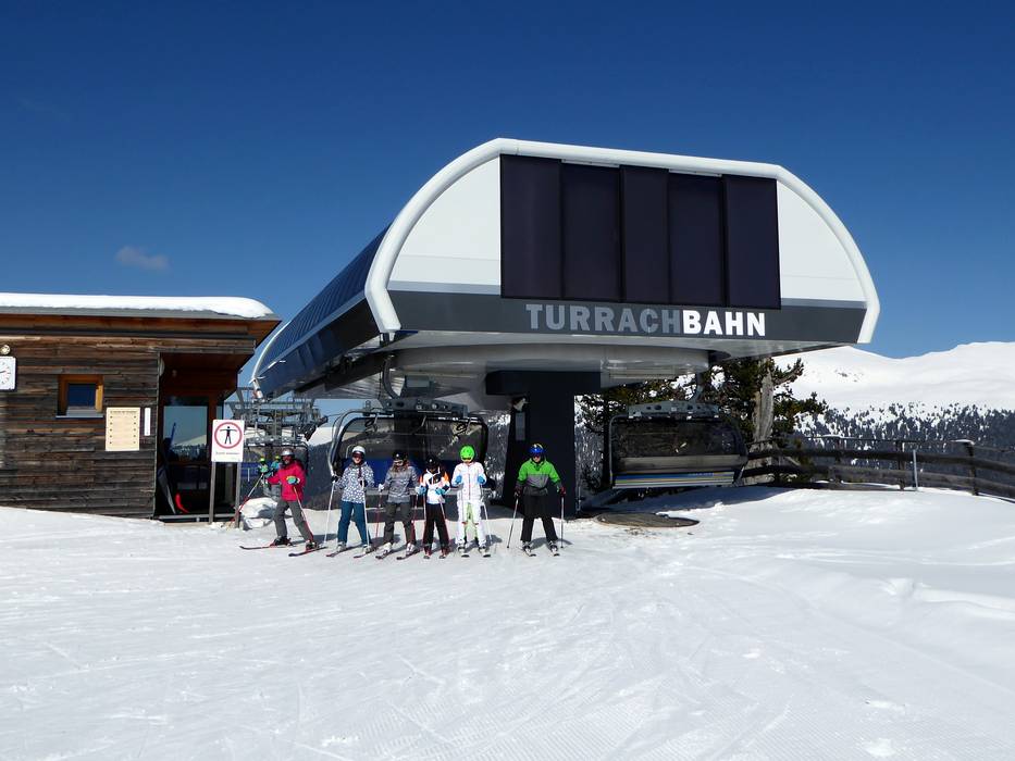
Turrachbahn (Predlitz) Ideal entry for day visitors
Distance: 47 km
approx. 45 Minutes driving time
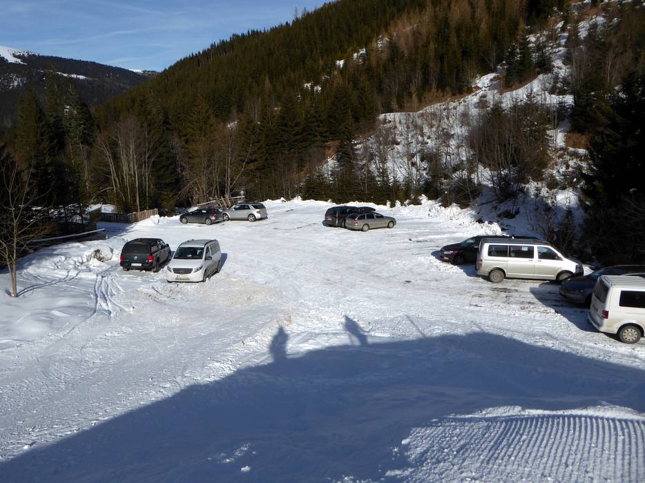
Roads: Main street, Side road, Mountain road, with significant incline Parking spaces: usually enough available, tarmac car park, gravel car park, free of charge View on Google Maps
Roads: Main street, Side road, Mountain road, with significant incline Parking spaces: usually enough available, tarmac car park, gravel car park, free of charge View on Google Maps
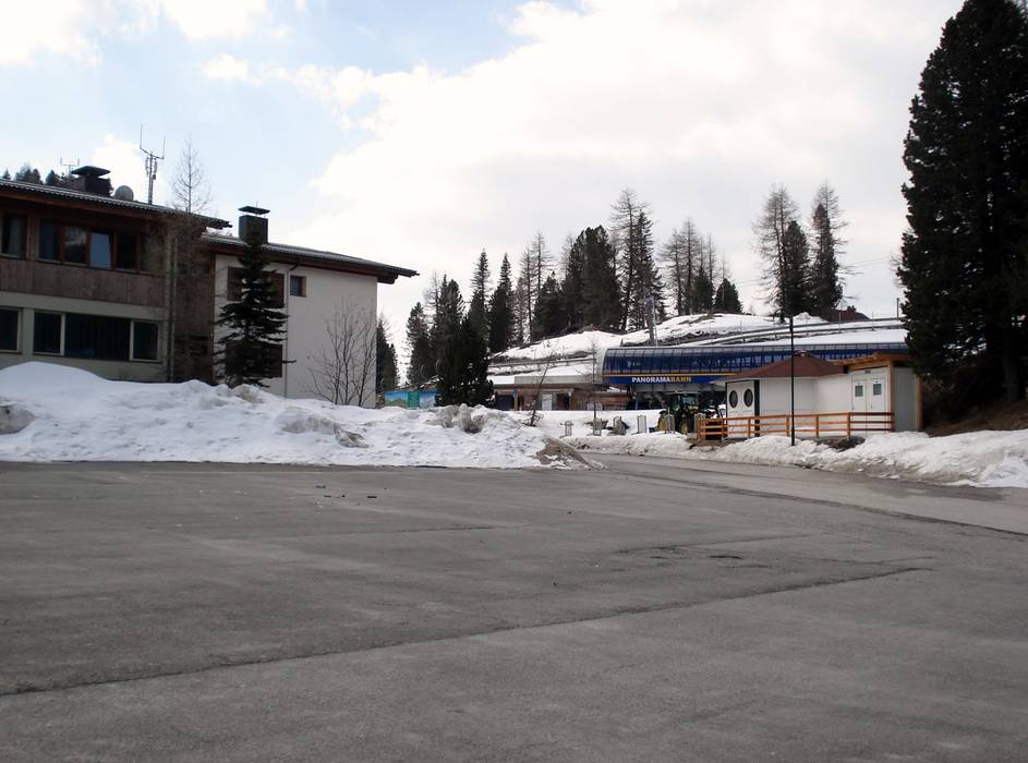
Panoramabahn (Reichenau) Ideal entry for day visitors
Distance: 52 km
approx. 48 Minutes driving time
Roads: Main street, Side road, Mountain road, with significant incline Parking spaces: limited amount available, tarmac car park, free of charge View on Google Maps
Access via A10 Tauern Motorway, exit Villach-Ossiacher See
Panoramabahn (Reichenau) Ideal entry for day visitors
Distance: 48 km
approx. 54 Minutes driving time
Roads: Main street, Side road, Mountain road, with significant incline Parking spaces: limited amount available, tarmac car park, free of charge View on Google Maps
Roads: Main street, Side road, Mountain road, with significant incline Parking spaces: usually enough available, tarmac car park, gravel car park, free of charge View on Google Maps
Access via A2 Süd Motorway, Klagenfurt Nord exit
Panoramabahn (Reichenau) Ideal entry for day visitors
Distance: 57 km
approx. 56 Minutes driving time
Roads: Main street, Side road, Mountain road, with significant incline Parking spaces: limited amount available, tarmac car park, free of charge View on Google Maps
Roads: Main street, Side road, Mountain road, with significant incline Parking spaces: usually enough available, tarmac car park, gravel car park, free of charge View on Google Maps
Access via S36, Murtal Expressway, end of the expressway at Judenburg West
Roads: Main street, Side road, Mountain road, with significant incline Parking spaces: usually enough available, tarmac car park, gravel car park, free of charge View on Google Maps

