Evaluated by Skiresort.info, the world's largest test portal for ski resorts.
The evaluation is done as follows
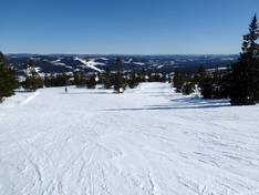
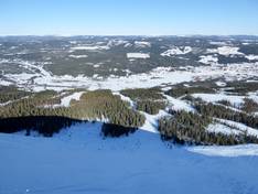
Orientation (Trail map, information boards, sign-postings) and safety in the ski resort Trysil
Trail map and overview maps
The piste map provides an excellent overview of the Trysil ski area. All lifts, slopes, children's areas, snow parks, restaurants, and parking lots are marked. On the reverse side, you will find additional information and phone numbers.
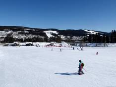
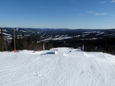
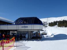
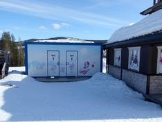
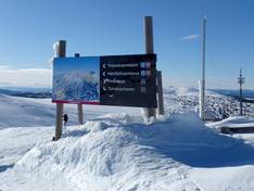
Information boards and sign-postings on the slopes
It’s easy to find your way around the Trysil ski resort. All the slopes are signposted, and there are trail maps at key locations. However, up-to-date information about open lifts and slopes is only available online in the app or on the resort’s website.
Trail map

Trysil Season 2025/2026
Top Orientation


17 strengths of this ski resort


Feedback for the Skiresort.info Team? Please use this form
Select specific criteria
Top evaluation criteria
Further evaluation criteria
Orientation (trail map, information boards, sign-postings)
Evaluation criteria for special interests
Feedback for the Skiresort.info Team? Please use this form
Book this ski resort
Test Reports


Tips for the ski holiday