Route planner
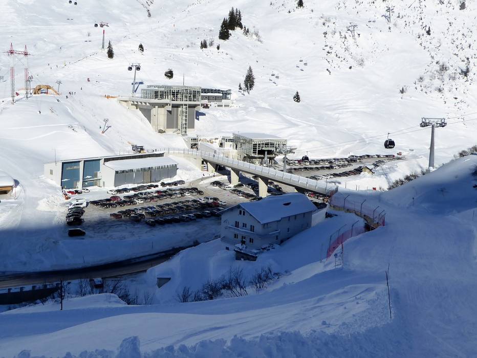
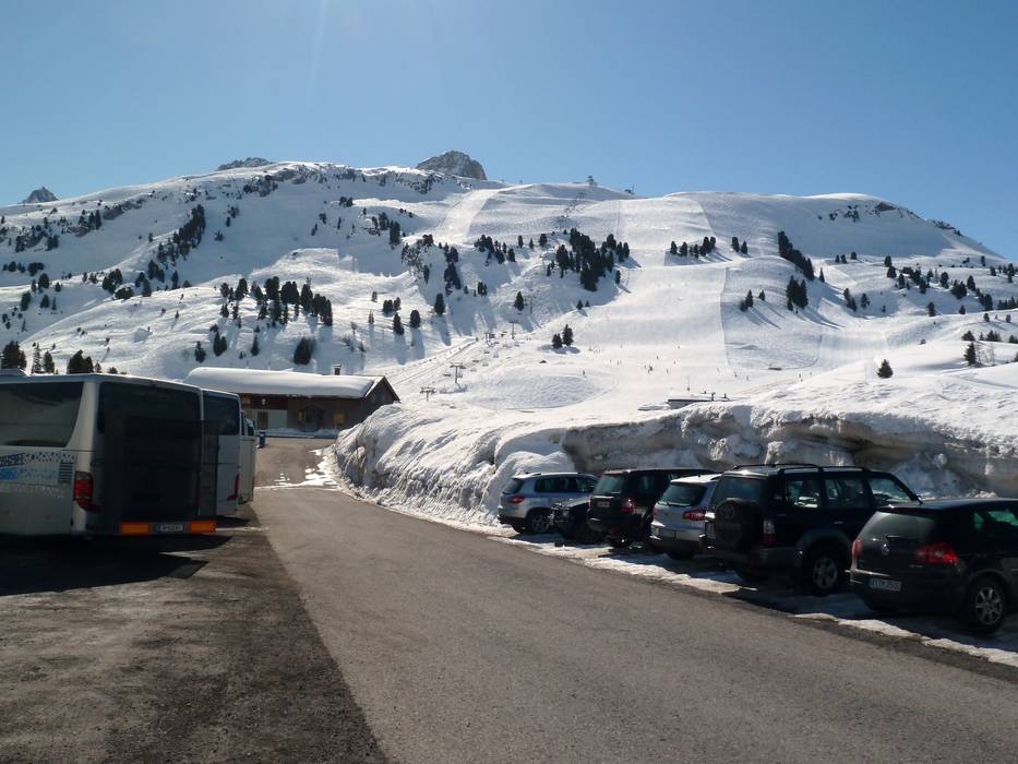
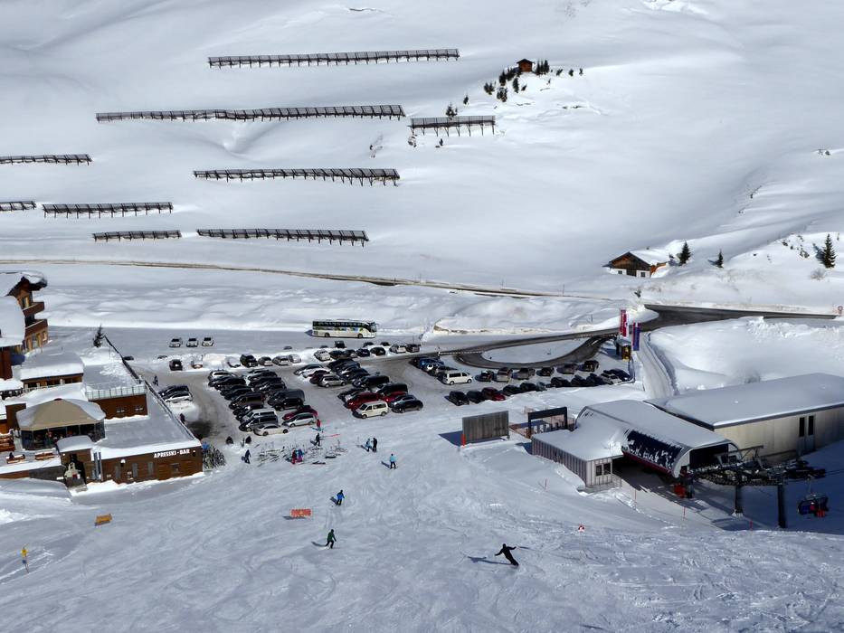
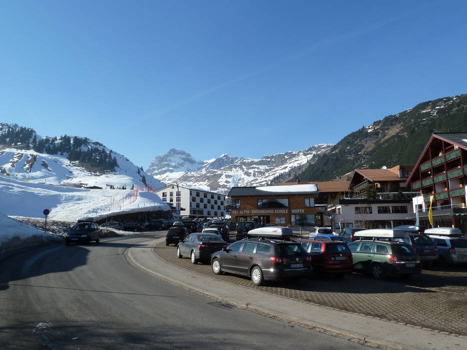
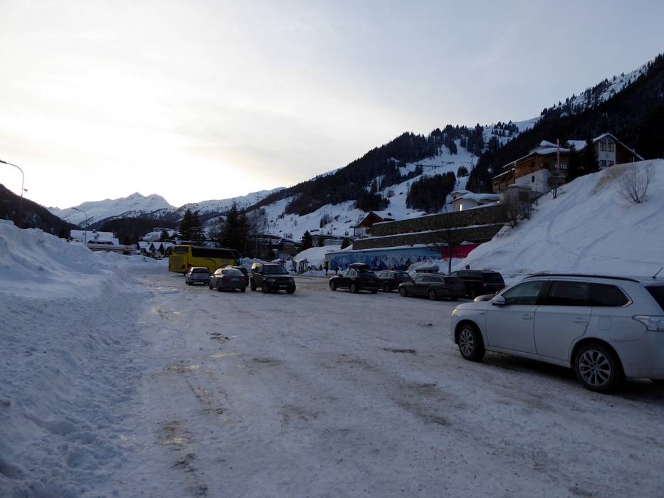
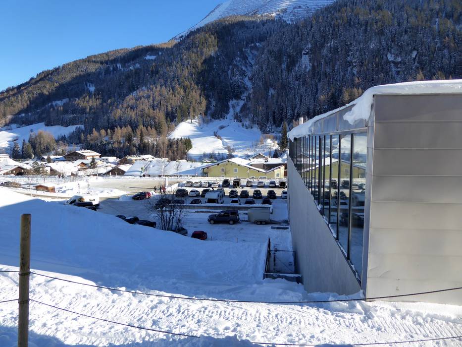
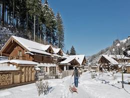
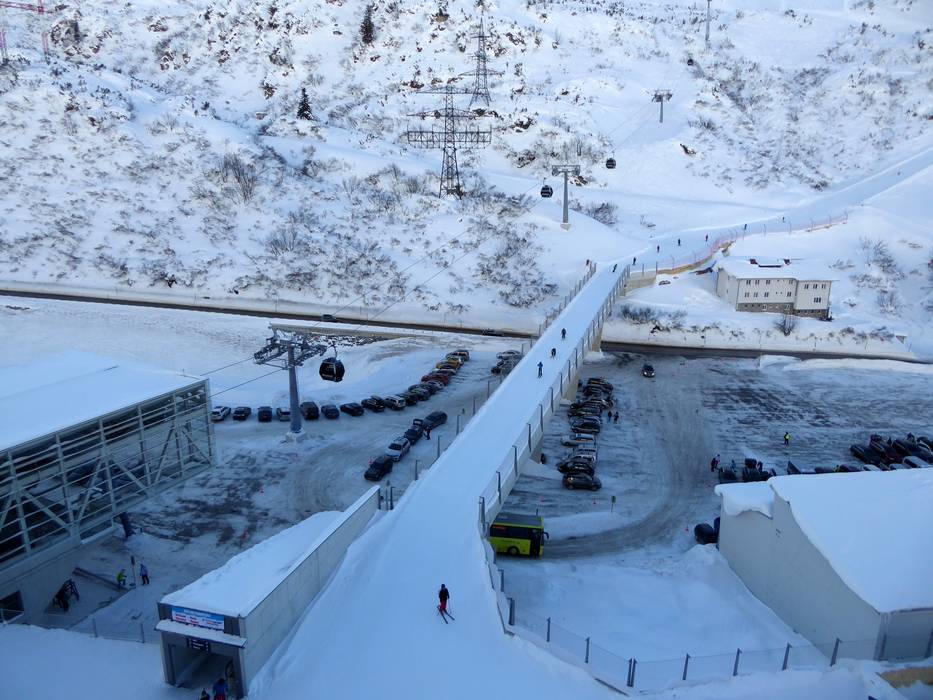
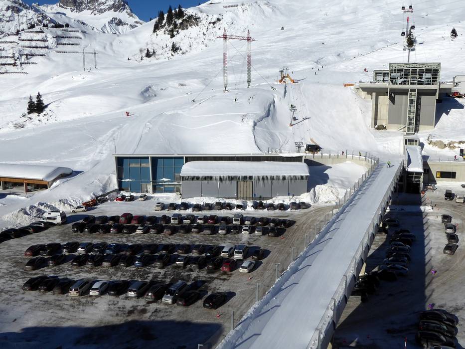
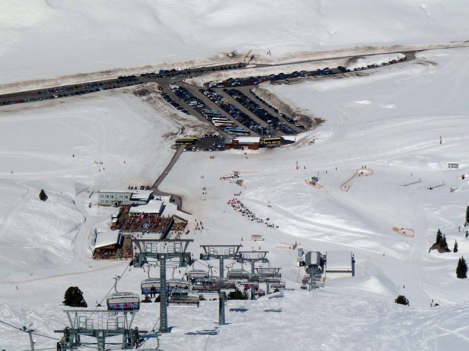
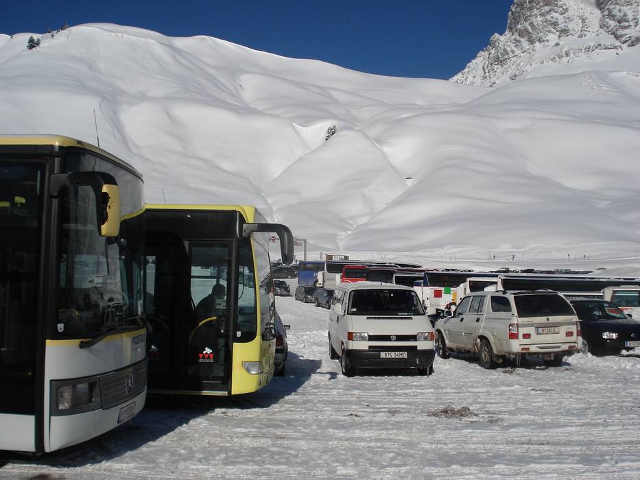
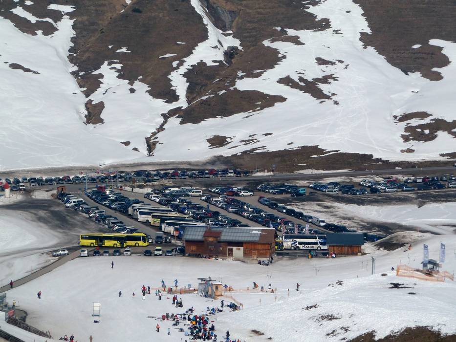
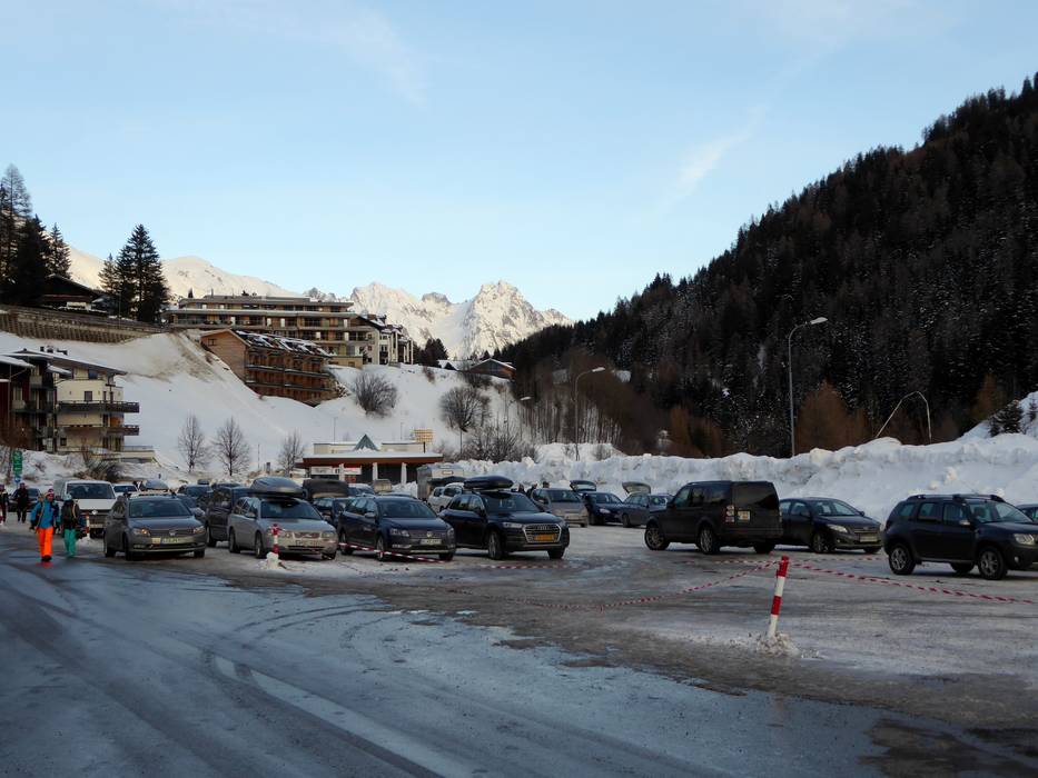
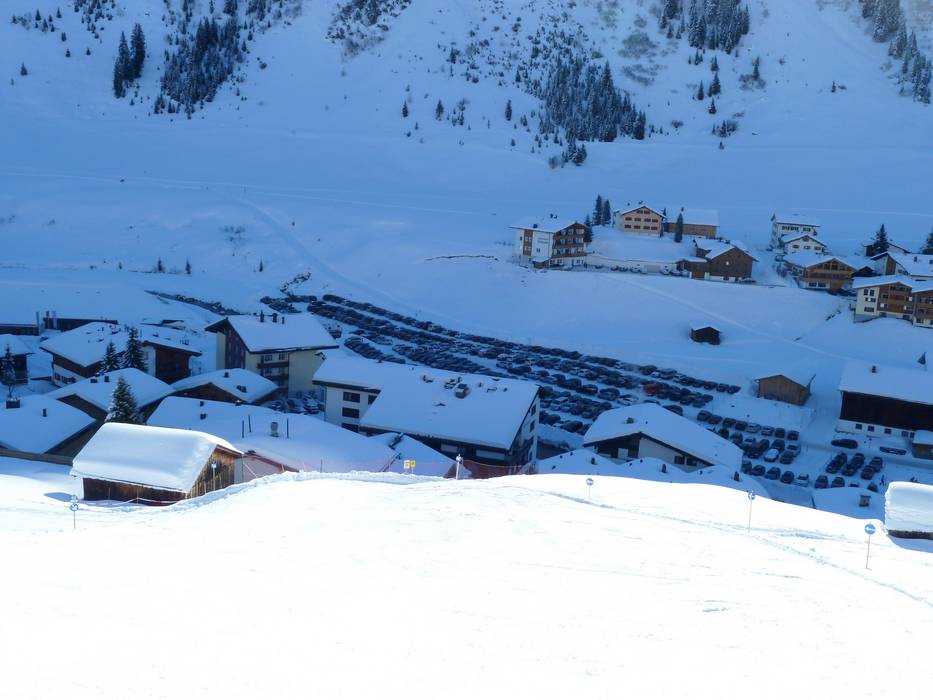
Access & on-site parking
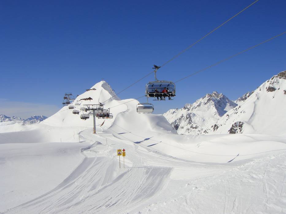
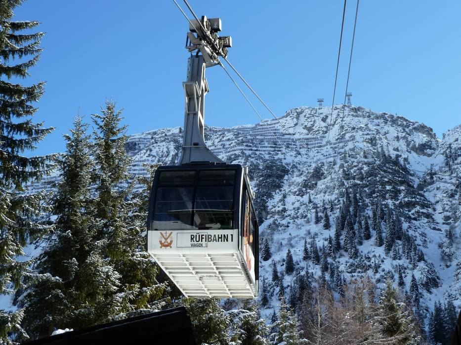
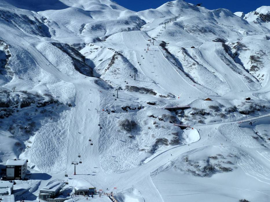
The Ski Arlberg ski area can be accessed from four directions (Klostertal, Stanzertal, Lechtal, and Bregenzerwald). Arrival is either to St. Anton am Arlberg, St. Christoph, Stuben, Lech, Zürs, or to Warth and Schröcken. In winter, Lech is not connected to Warth by road, as the route is closed.
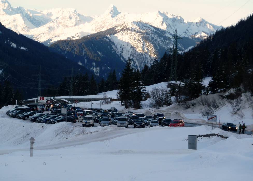
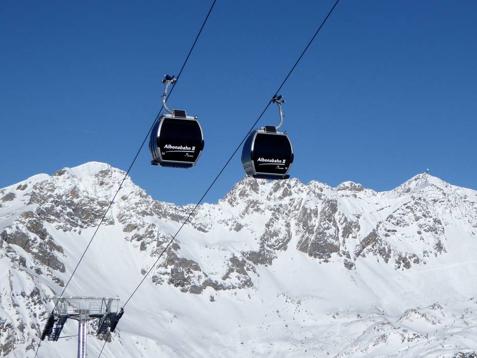
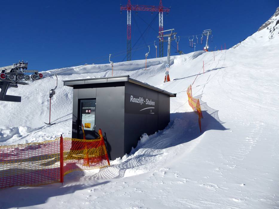
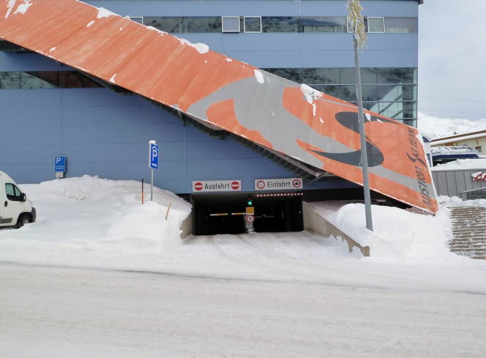
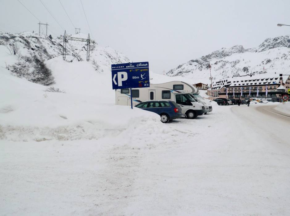
The St. Anton am Arlberg/St. Christoph/Stuben section of the ski area is very quickly accessible from the expressway-like Arlberg Schnellstraße (Bludenz-Landeck). In St. Anton, multi-day guests park directly at their accommodation, while day guests can use designated parking lots for a fee of €7. Day guests can use free parking in St. Christoph, in Stuben at the Albonabahn, and at Alpe Rauz (Flexenbahn, Albonabahn II, Valfagehrbahn).
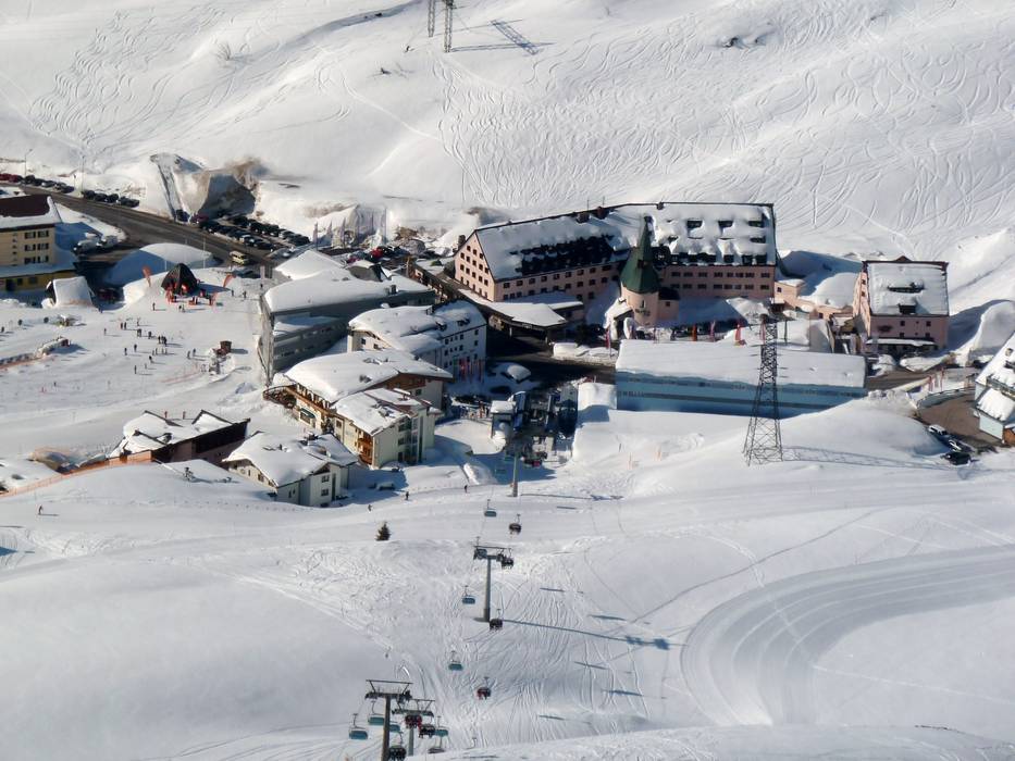
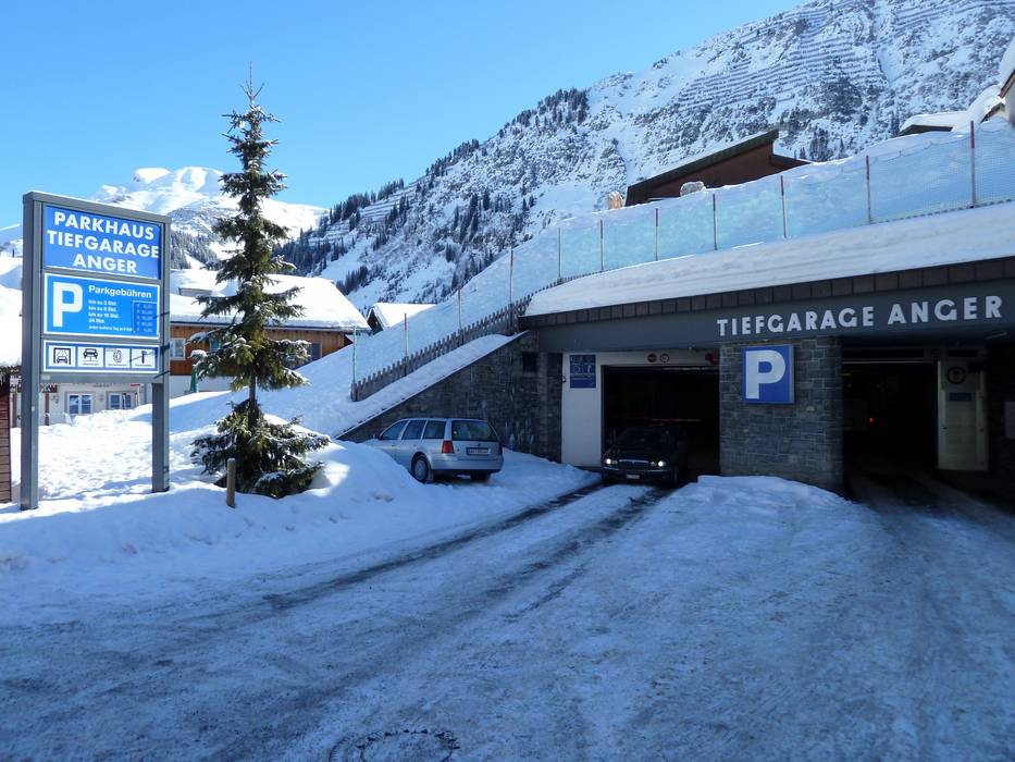
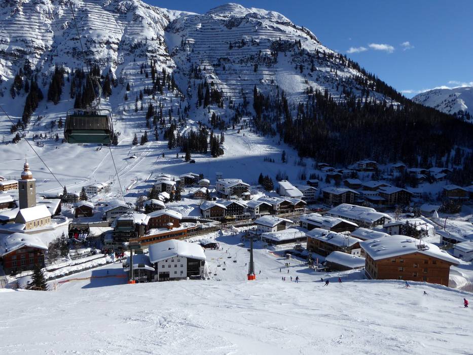
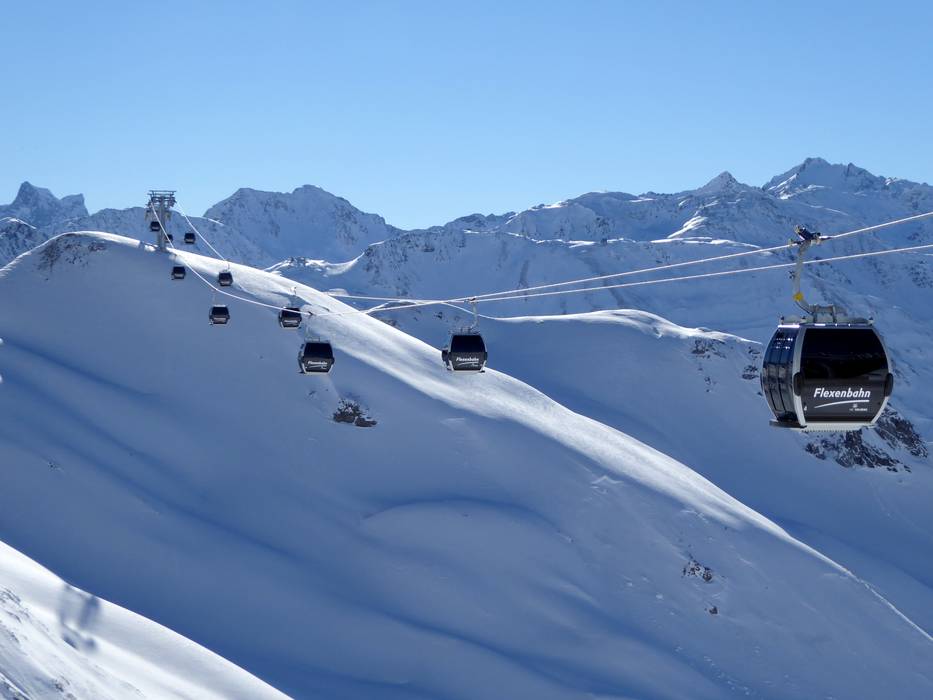
Guests traveling to Lech or Zürs arrive via the Arlberg Schnellstraße and the Flexen Pass. Zürs is reached first, followed by Lech. In Zürs, you can park at the Trittkopf day parking lot. In Lech, only the Schlosskopf parking lot is available free of charge for ski pass holders. The underground garages and other parking lots in town are subject to a fee.
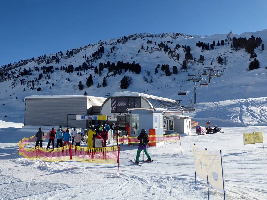
The Warth/Schröcken section of the ski area can be reached either via Reutte and the Lechtal (without an Austrian motorway vignette) or via Bregenz and the Bregenzerwald. Warth/Schröcken is located at the Hochtannberg Pass, about 60 km from the nearest motorway. Free parking is available at all valley stations of the lifts (Warth, Jägeralp, Salober).
Don’t forget to bring snow chains, as this is one of the snowiest regions in Europe.
Winter Closure
The Lech-Warth route is closed in winter!
Access via
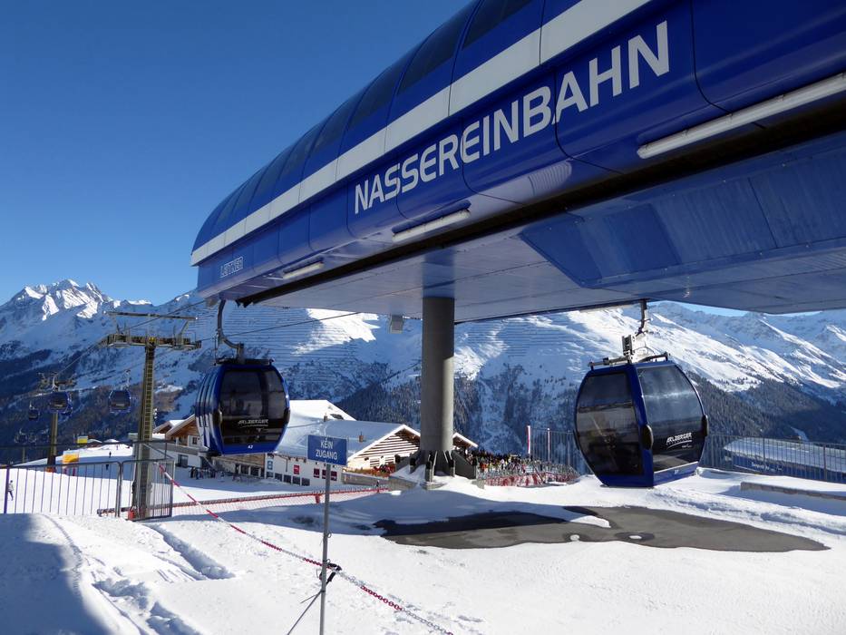
Mobility on-site
- Comprehensive ski bus network
- Scheduled buses
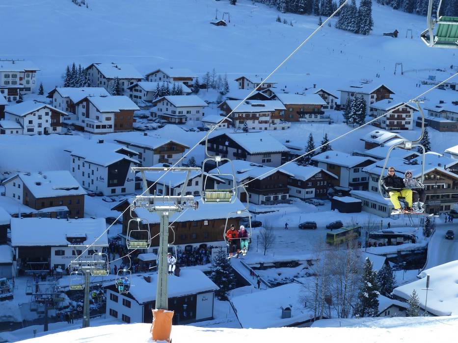
- Guests are best advised to leave their cars on site and use public transport. St. Anton and its individual districts are excellently connected to the ski bus. The village bus operates between Warth-Hochkrumbach-Schröcken. All districts in Lech and Zürs are also connected by a ski bus.
Access via Arlberg Expressway, Langen am Arlberg exit
4 km Distance - approx. 4 Minutes driving time
Destination Parking spaces - usually enough available, gravel car park
- free of charge
- The parking lots are about 200 m from the valley station.
Roads - Main street, Mountain road, well-developed, with significant incline
- Snow chains sometimes required by snowfall
- Road closure due to avalanches sometimes possible
Show route
6 km Distance - approx. 6 Minutes driving time
Destination Parking spaces - usually enough available, tarmac car park, gravel car park
- free of charge
Roads - Main street, Mountain road, well-developed, with significant incline
- Snow chains sometimes required by snowfall
- Road closure due to avalanches sometimes possible
Show route
9 km Distance - approx. 8 Minutes driving time
Destination Parking spaces - usually enough available, covered car park, gravel car park
- free of charge
- The parking garage in St. Christoph costs 13.50 euros per day.
Show route
10 km Distance - approx. 11 Minutes driving time
Destination Parking spaces - enough available, tarmac car park, gravel car park
- free of charge
Roads - Side road, Mountain road, with significant incline
- Snow chains required very often by snowfall
- Road closure due to avalanches often possible
Show route
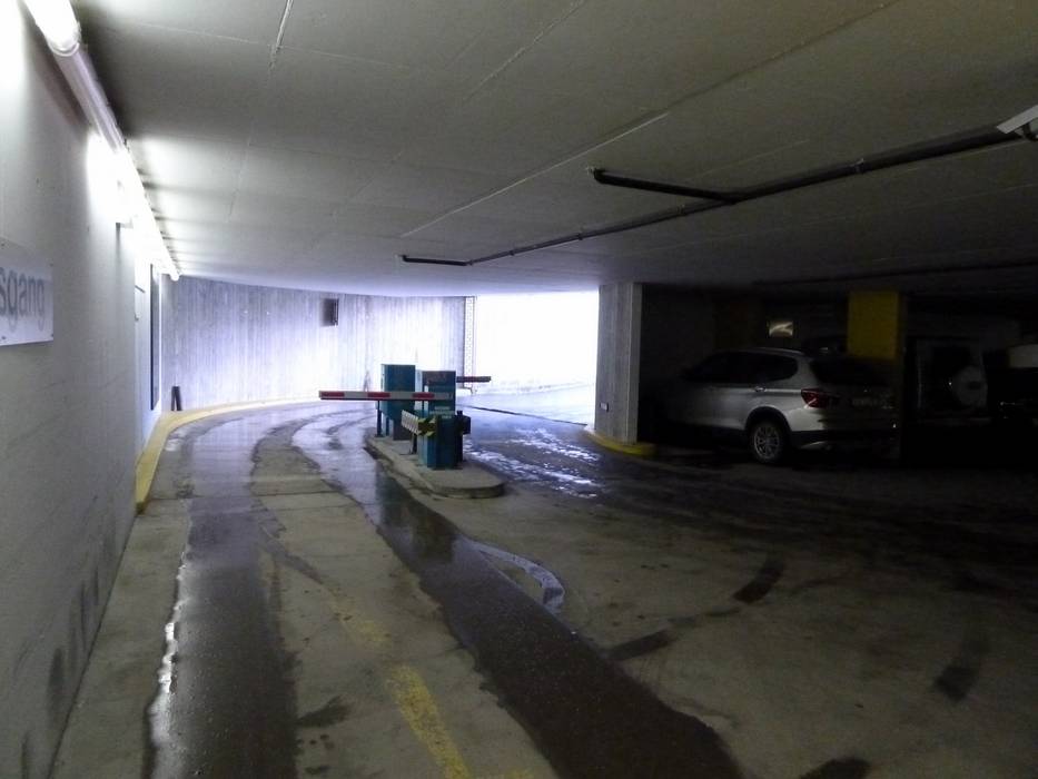
15 km Distance - approx. 17 Minutes driving time
Destination Parking spaces - limited amount available, underground car park
- for a fee
Roads - Side road, Mountain road, with significant incline
- Snow chains required very often by snowfall
- Road closure due to avalanches often possible
Show route Access via A14 Rheintal Motorway Bregenz-Bludenz, exit Dornbirn Nord
58 km Distance - approx. 64 Minutes driving time
Destination Parking spaces - enough available, tarmac car park, gravel car park
- free of charge
Roads - Main street, Side road, Mountain road, well-developed, with significant incline
- Snow chains sometimes required by snowfall
- Road closure due to avalanches sometimes possible
Show route
60 km Distance - approx. 66 Minutes driving time
Destination Parking spaces - usually enough available, tarmac car park
- free of charge
Roads - Main street, Side road, Mountain road, well-developed, with significant incline
- Snow chains sometimes required by snowfall
- Road closure due to avalanches sometimes possible
Show route
62 km Distance - approx. 69 Minutes driving time
Destination Parking spaces - limited amount available, tarmac car park
- free of charge
Roads - Main street, Side road, Mountain road, well-developed, with significant incline
- Snow chains sometimes required by snowfall
- Road closure due to avalanches sometimes possible
Show route Access via Motorway A7 Memmingen-Füssen, end of the motorway at Füssen (start of Fernpass federal road)
70 km Distance - approx. 71 Minutes driving time
Destination Parking spaces - limited amount available, tarmac car park
- free of charge
Roads - Main street, Side road, well-developed, with significant incline
- Snow chains sometimes required by snowfall
- Road closure due to avalanches sometimes possible
Show route
72 km Distance - approx. 74 Minutes driving time
Destination Parking spaces - usually enough available, tarmac car park
- free of charge
Roads - Main street, Side road, well-developed, with significant incline
- Snow chains sometimes required by snowfall
- Road closure due to avalanches sometimes possible
Show route
74 km Distance - approx. 77 Minutes driving time
Destination Parking spaces - enough available, tarmac car park, gravel car park
- free of charge
Roads - Main street, Side road, well-developed, with significant incline
- Snow chains sometimes required by snowfall
- Road closure due to avalanches sometimes possible
Show route Access via Arlberg Expressway, exit Sankt Anton am Arlberg
4 km Distance - approx. 5 Minutes driving time
Destination Parking spaces - usually enough available, tarmac car park, gravel car park
- for a fee
Show route
11 km Distance - approx. 12 Minutes driving time
Destination Parking spaces - usually enough available, covered car park, gravel car park
- free of charge
- The parking garage in St. Christoph costs 13.50 euros per day.
Show route
19 km Distance - approx. 21 Minutes driving time
Destination Parking spaces - enough available, tarmac car park, gravel car park
- free of charge
Roads - Side road, Mountain road, with significant incline
- Snow chains required very often by snowfall
- Road closure due to avalanches often possible
Show route
24 km Distance - approx. 27 Minutes driving time
Destination Parking spaces - limited amount available, underground car park
- for a fee
Roads - Side road, Mountain road, with significant incline
- Snow chains required very often by snowfall
- Road closure due to avalanches often possible
Show route More Entry point(s) to the ski resort
Destination Parking spaces
Destination Parking spaces
Destination Parking spaces - usually enough available, gravel car park, grass car park
- free of charge
Destination Parking spaces - limited amount available, gravel car park
- free of charge
Destination Parking spaces
Destination Parking spaces - limited amount available, gravel car park
- free of charge
Destination Parking spaces
Destination Parking spaces
Destination Parking spaces - limited amount available, tarmac car park
- for a fee, € 7,- / per day
Destination Parking spaces - limited amount available, tarmac car park
- for a fee
- The parking spaces are located at the old Rendlbahn, about 200 meters from the valley station.

Access to ski resort

Town/village close to ski resort

Traffic Junction
All information is supplied without guarantee
The maps are provided by Google with the following information: „These directions are for planning purposes only. You may find that construction projects, traffic, weather, or other events may cause conditions to differ from the map results, and you should plan your route accordingly. You must obey all signs or notices regarding your route.“


