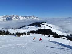
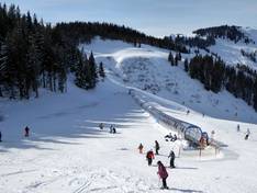
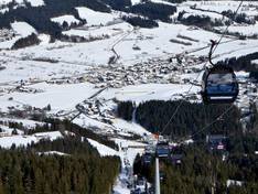
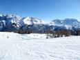
Orientation (Trail map, information boards, sign-postings) and safety in the ski resort SkiWelt Wilder Kaiser-Brixental
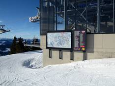
Trail map and overview maps
Despite the size of the ski area and thus the piste map, all lifts and slopes are clearly visible. Many mountain elevations are indicated, and all dining options are marked. The take-away piste map also includes detailed maps for better orientation. An extra SkiWelt Info Guide describes all the highlights in detail. There is also an interactive piste map and ski area navigation available for smartphone users.
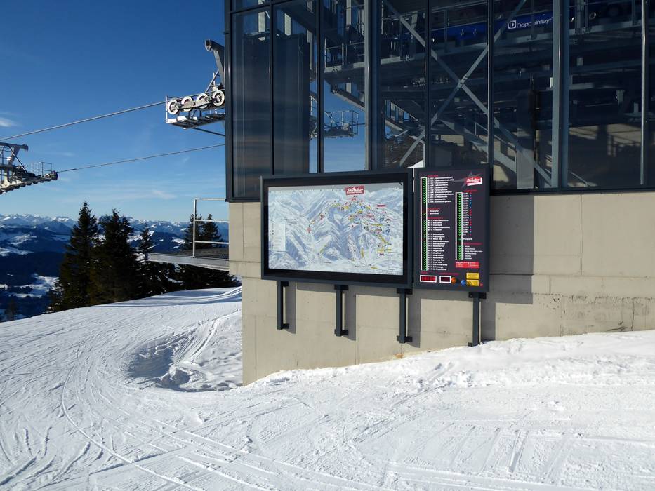
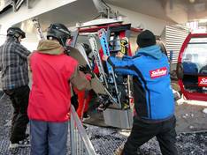
Information boards and sign-postings on the slopes
The signage throughout the entire ski area is generally very good. It is usually easy to find your way from one place to another. The SkiWelt Tour is a marked circuit that includes all 9 locations. Guests can follow it clockwise or counterclockwise and get to know the whole SkiWelt. In addition, there is the marked KitzSkiWelt Tour – the longest ski circuit in the world – from Going to Hollersbach/Mittersill and back.
Trail map
SkiWelt Wilder Kaiser - Brixental Season 2025/2026