Orientation (Trail map, information boards, sign-postings) and safety in the ski resort Schladming – Planai/Hochwurzen/Hauser Kaibling/Reiteralm (4-Berge-Skischaukel)
Trail map and overview maps
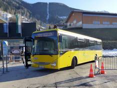
Separate fold-out maps are available for Planai/Hochwurzen, Reiteralm, and Hauser Kaibling, each of which generally depicts the entire 4-mountain ski circuit. However, details such as symbols indicating the locations of restaurants are only marked for the respective ski mountain, so skiers need a new fold-out map for more information when switching mountains. On the back of each map, you’ll find information about special attractions such as the Snowpark or Funslope, as well as details on ski buses, operating hours, and ski pass prices.
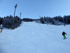
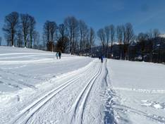
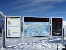
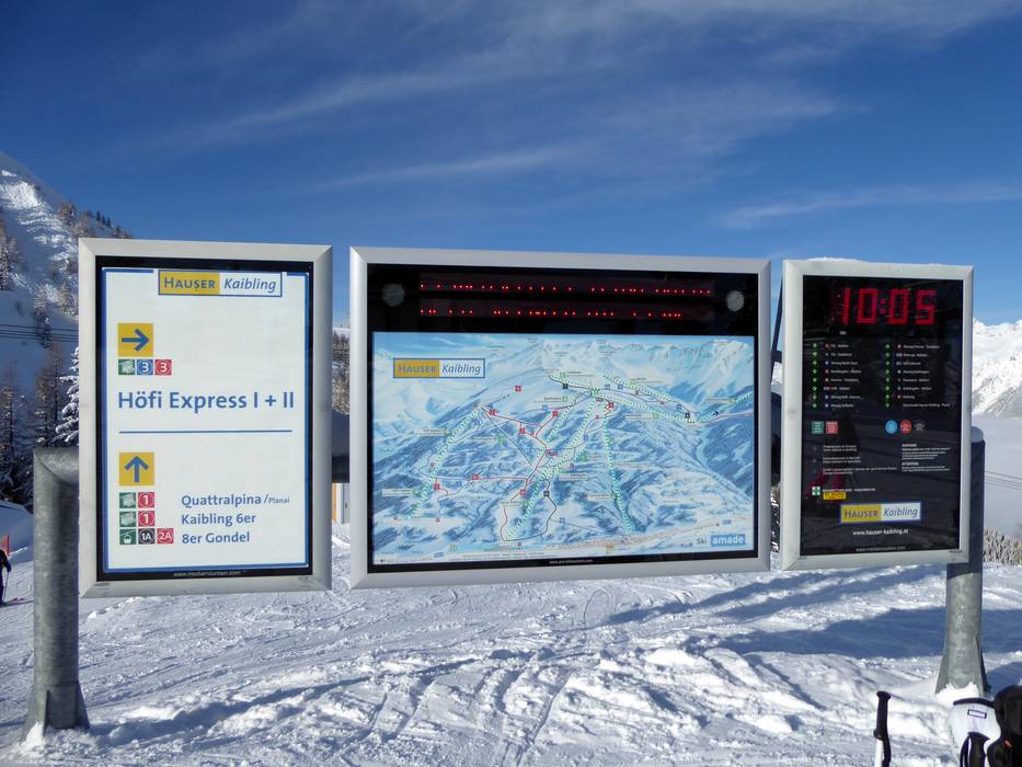
Information boards and sign-postings on the slopes
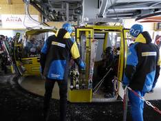
Real-time displays with information about open lifts and slopes are available in all parts of the ski area. On the slopes, winter sports enthusiasts will find numerous signposts at all intersections and junctions, clearly guiding the way.
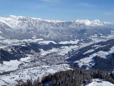
Trail map
Schladming – Planai/Hochwurzen/Hauser Kaibling/Reiteralm (4-Berge-Skischaukel) Season 2025/2026


")