Evaluated by Skiresort.info, the world's largest test portal for ski resorts.
The evaluation is done as follows
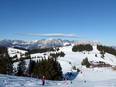
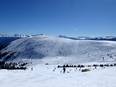
Orientation (Trail map, information boards, sign-postings) and safety in the ski resort Pröller Skidreieck (St. Englmar)
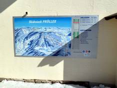
Trail map and overview maps
The Pröller ski area has its own piste map. The piste map is clear, detailed, and informative. The names of the mountain huts could be added. On the winter map of the St. Englmar holiday region, the ski area is also basically depicted.
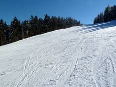
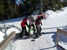
Information boards and sign-postings on the slopes
The signage on the slopes is good and it is easy to find your way around the ski area. The information boards at the valley stations display the current open/closed status of the lifts and runs.
Trail map

Pröller Skidreieck Season 2025/2026

St. Englmar Season 2025/2026
Top Orientation


4 strengths of this ski resort


Feedback for the Skiresort.info Team? Please use this form

Select specific criteria
Top evaluation criteria
Further evaluation criteria
Orientation (trail map, information boards, sign-postings)
Evaluation criteria for special interests
Feedback for the Skiresort.info Team? Please use this form
Test Reports
Tips for the ski holiday