
Evaluated by Skiresort.info, the world's largest test portal for ski resorts.
The evaluation is done as follows
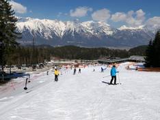
Orientation (Trail map, information boards, sign-postings) and safety in the ski resort Patscherkofel – Innsbruck-Igls
Trail map and overview maps
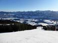
The slope map provides an excellent representation of the ski area. The lifts, slopes, and important highlights are clearly marked.
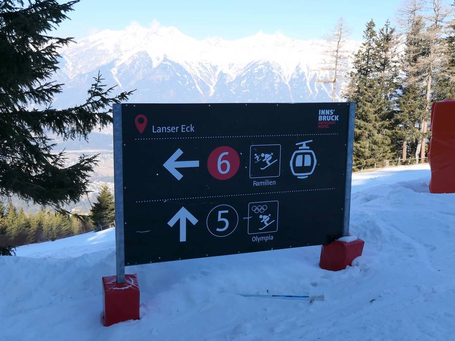
Information boards and sign-postings on the slopes
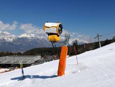
Information boards are installed at the mountain and valley stations. The signage and slope markings are very helpful for orientation. Real-time information on the status of lifts and slopes could be added.
Trail map

Patscherkofel Season 2025/2026
Top Orientation


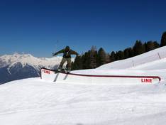
12 strengths of this ski resort


Feedback for the Skiresort.info Team? Please use this form

Select specific criteria
Top evaluation criteria
Further evaluation criteria
Orientation (trail map, information boards, sign-postings)
Evaluation criteria for special interests
Feedback for the Skiresort.info Team? Please use this form
Test Reports
Tips for the ski holiday