USA
  • Park City
    • Worldwide
    • North America
    • USA
    • Utah
    • Salt Lake City
Select region
close
Continents
Countries
States
Tourism region

Directions Park City

Directions to the ski resort Park City

Route planner, detailed directions, entry point(s)

Route planner

Access & on-site parking

The Park City ski resort in the state of Utah is located east of Salt Lake City in the heart of Park City. Park City is a small town on the east side of the Wasatch Mountains. It takes only about 30 minutes by car from Salt Lake City to the ski resort via Interstate Highway 80, and just about 35 minutes from the international airport.

The first area you reach is Park City Canyons Village. From the large, free parking lot, you can comfortably glide up to the Canyons Village hotel complex on an 8-person Cabriolet lift, where the ski area begins.

If you continue a bit further, you’ll arrive at Park City Mountain Village. Chairlifts also depart from the hotel complex here, taking you up into the ski area. Large paid parking lots with reservation are available.

From the historic and charming downtown of Park City, the Town Lift chairlift also takes you into the ski area. Parking here is paid.

Route Planner to the ski resort Park City

Please enter a start address and calculate route:


Mobility on-site
  • Comprehensive ski bus network
  • Scheduled buses
  • Free extensive ski bus network (Park City Transit) in Park City to the Park City ski area. Free bus between Park City Mountain Village and Canyons Village. Free arrival from the region can be booked (High Valley Transit).

Access via Interstate Highway 80 Salt Lake City-Cheyenne, Kimball Junction/Park City
5 km Distance - approx. 5 Minutes driving time
Destination
  • Cabriolet
  • 1825-1951 Canyons Resort Drive, 84098 Park City | Canyons Village, United States
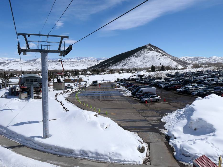
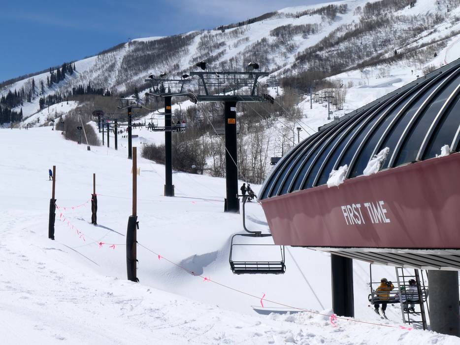
  • Ideal entry for day visitors
  • View on Google Maps
Parking spaces
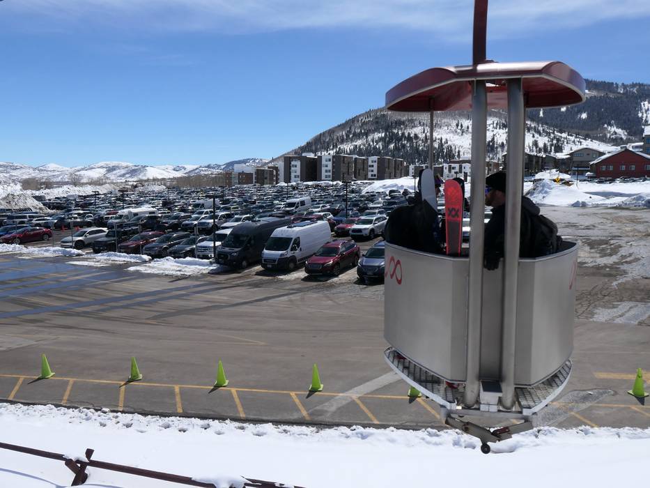
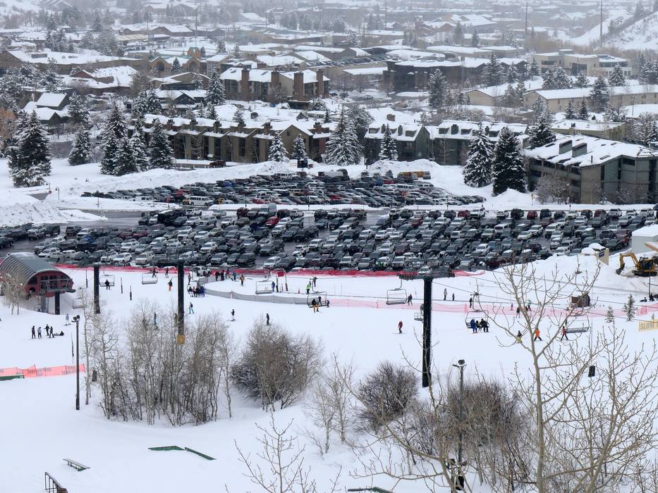
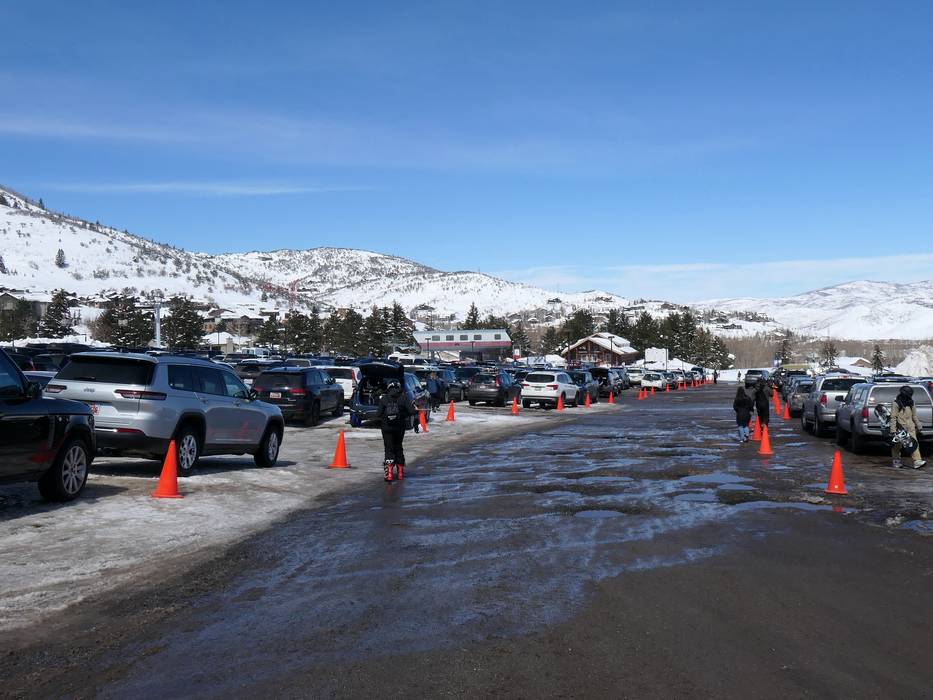
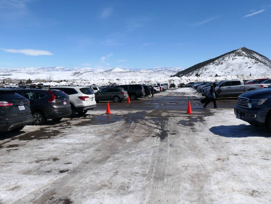
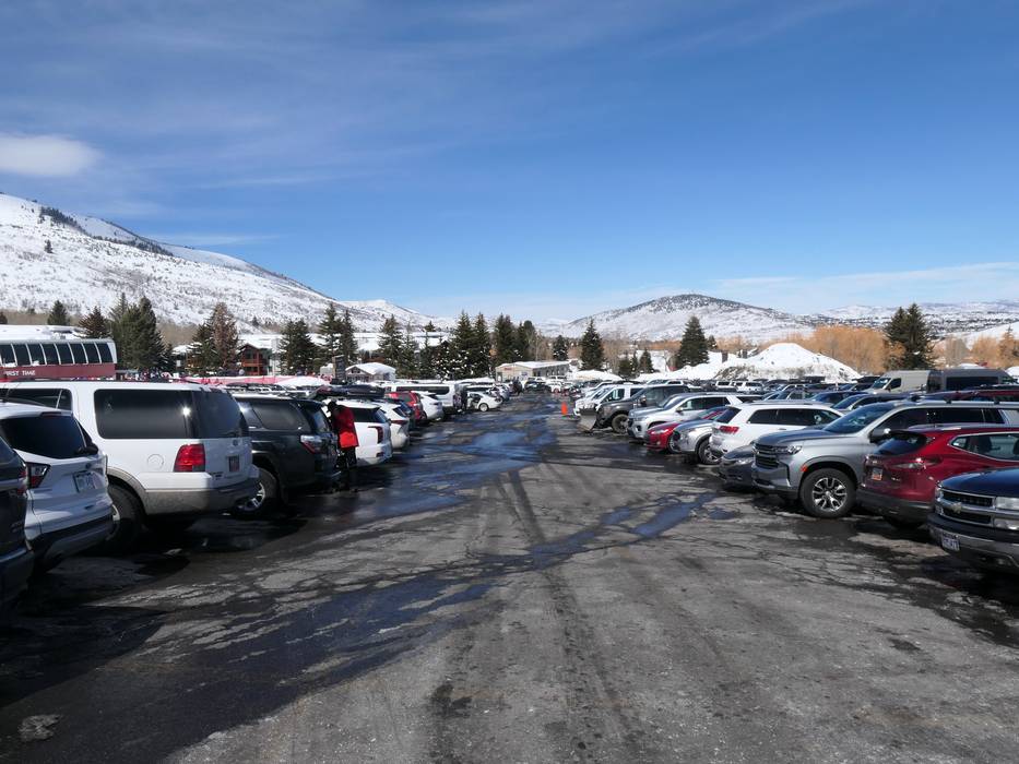
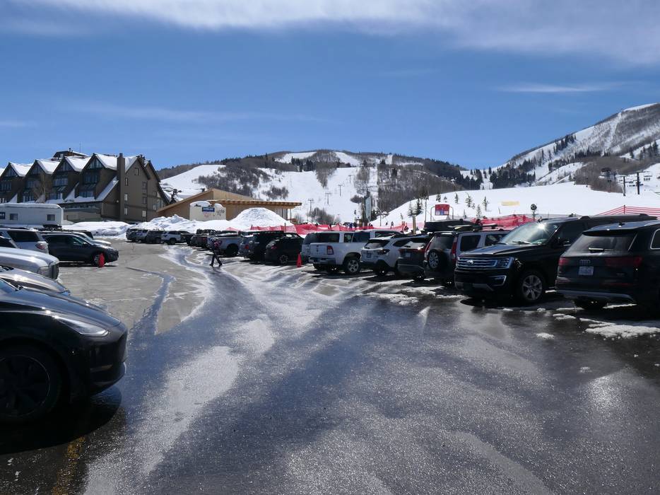
  • enough available, gravel car park
  • free of charge
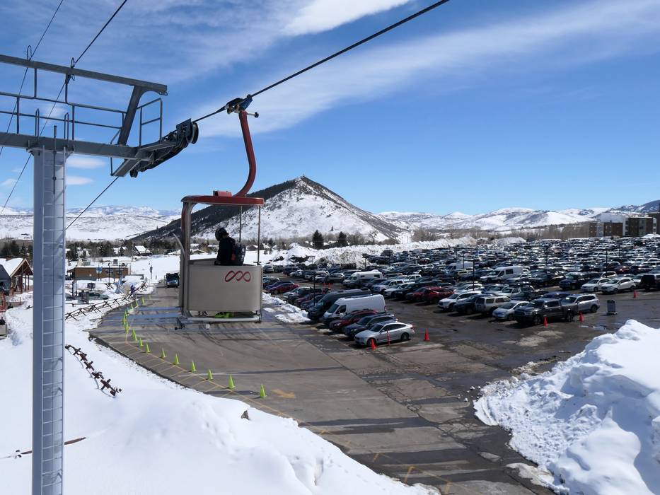
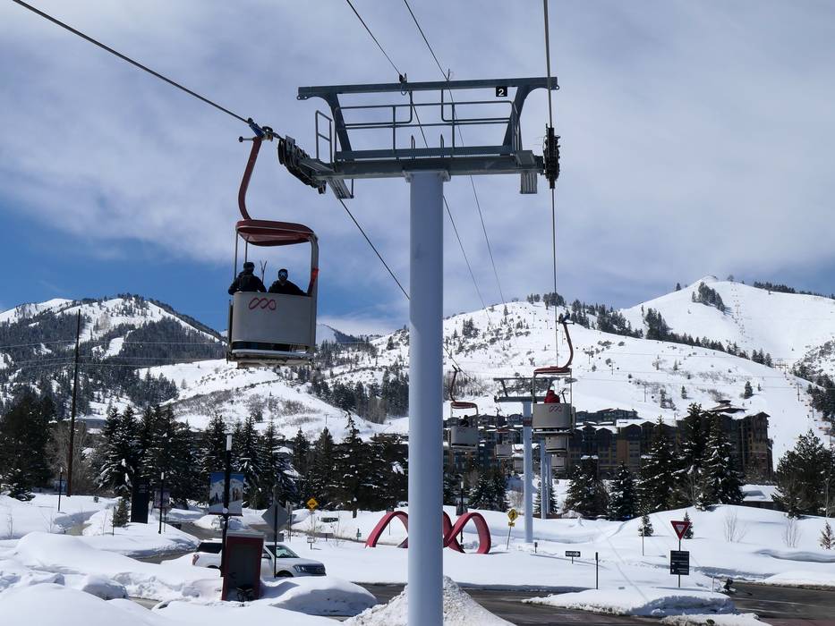
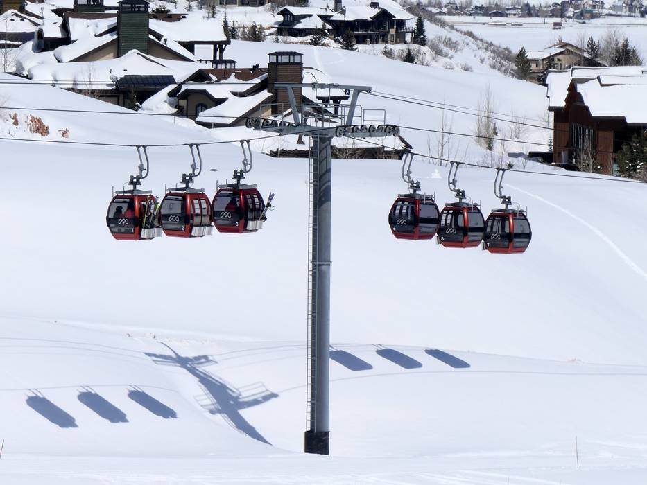
  • From the parking lots, you float to the ski lifts with the Cabriolet.
Roads
  • Main street, Side road, without significant incline
  • No chance of road closure due to avalanches
Show route

10 km Distance - approx. 11 Minutes driving time
Destination Parking spaces
  • usually enough available, tarmac car park
  • for a fee
Roads
  • Main street, Side road, without significant incline
  • No chance of road closure due to avalanches
Show route
More Entry point(s) to the ski resort
Destination Parking spaces
  • usually enough available, tarmac car park
  • for a fee

Destination Parking spaces
  • none

Destination Parking spaces
  • limited amount available
  • for a fee

Destination Parking spaces
  • none

Destination Parking spaces
  • limited amount available, covered car park
  • for a fee

Destination Parking spaces
  • none
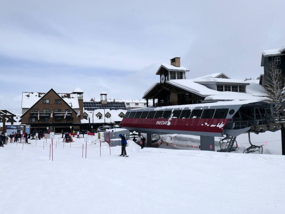
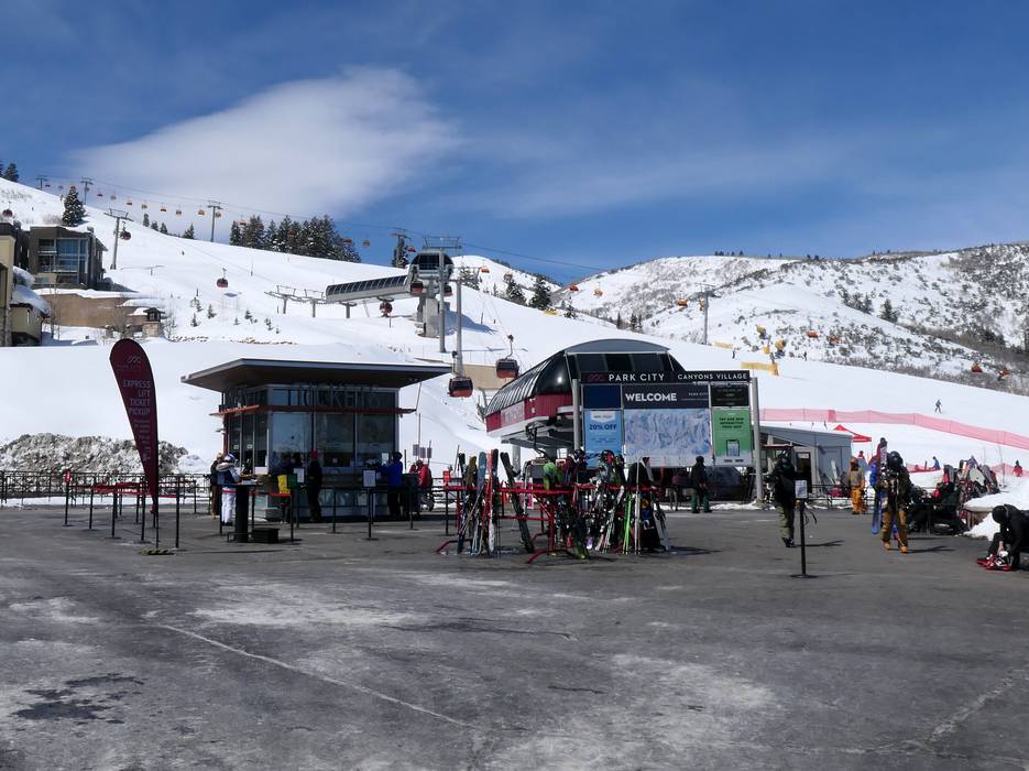
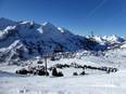
Access to ski resort
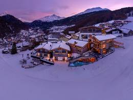
Town/village close to ski resort
Traffic Junction

All information is supplied without guarantee
The maps are provided by Google with the following information: „These directions are for planning purposes only. You may find that construction projects, traffic, weather, or other events may cause conditions to differ from the map results, and you should plan your route accordingly. You must obey all signs or notices regarding your route.“


Feedback for the Skiresort.info Team? Please use this form
Book this ski resort
Tips for the ski holiday
Test Reports

5-star ski resort in Italy (Italia)


Lifts and cable cars
Mountain restaurants, ski huts

5-star ski resort in Austria (Österreich)


Mountain restaurants, ski huts
Lifts and cable cars

All test reports