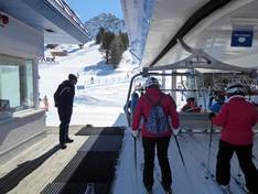
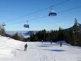
Orientation (Trail map, information boards, sign-postings) and safety in the ski resort Nauders am Reschenpass – Bergkastel
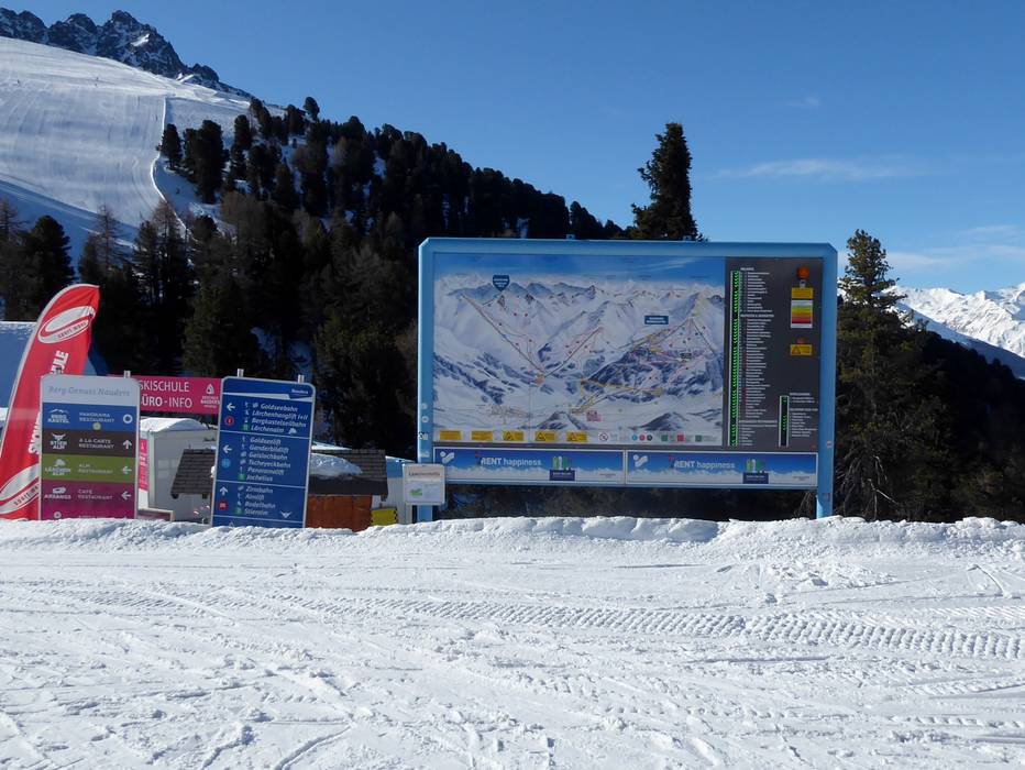
Trail map and overview maps
The piste map is clearly laid out and contains lots of important information about slopes, lifts, restaurants, and other attractions. In addition to Nauders, you will also find the other ski areas of the Zwei Länder Skiarena.
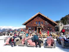
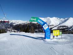
Information boards and sign-postings on the slopes
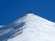
In the ski area, overview maps are displayed at central points. Here, red and green lights also indicate the opening status of lifts and slopes as well as the avalanche warning level. The direction and difficulty level of each slope are marked with signposts on the pistes. In addition, a smartphone app with GPS display is available for free download. A mountain enjoyment guidance system to the ski huts completes the offer.
Trail map
Skiparadies Nauders - Zwei Länder Skiarena Season 2025/2026