Orientation (Trail map, information boards, sign-postings) and safety in the ski resort Hochzeiger – Jerzens
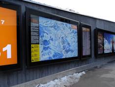
Trail map and overview maps
The starting point for the piste map is a photo that provides an excellent overview of the entire ski area. All lifts, pistes, ski routes, and mountain huts are clearly shown. Many additional details are described.
Information boards and sign-postings on the slopes
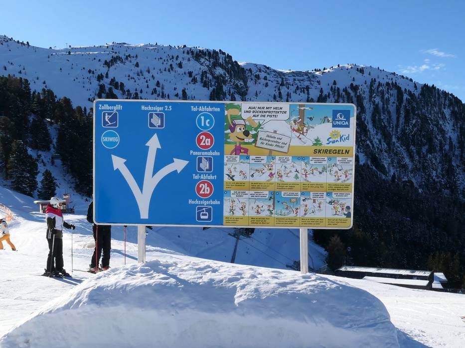
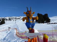
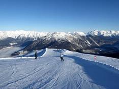
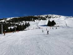
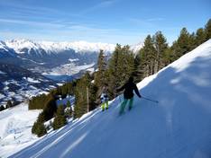
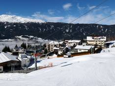
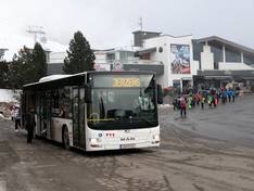
At the valley stations, plenty of information about ski operations is provided. Signage throughout the ski area is excellent. Clear and easily understandable signposts make orientation easy. Information boards with slope maps are installed in many locations. The slopes are clearly marked. A particularly positive aspect is that the slope rules are communicated in many places. On a dedicated slope rules trail, the rules are explained with illustrative boards. The mascot Pitzi is actively involved, so children also learn the rules in a playful way. At central points, the rules are also depicted with comic illustrations. The ski area has been awarded the slope quality seal of the state of Tyrol.