

Evaluated by Skiresort.info, the world's largest test portal for ski resorts.
The evaluation is done as follows
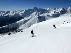
Orientation (Trail map, information boards, sign-postings) and safety in the ski resort Grossglockner Heiligenblut
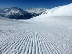
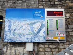
Trail map and overview maps
The slope map provides an excellent representation of the ski area. The slopes, ski routes, and lifts are all labeled with names, and numerous altitude indications make orientation easier.
Information boards and sign-postings on the slopes
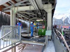
Large information boards with up-to-date information are distributed at the most important points in the ski area. The signage on the slopes is good. There is a Freeride Checkpoint at the Rossbach mid-station.
Trail map

Grossglockner Heiligenblut Season 2025/2026
Top Orientation


9 strengths of this ski resort


Feedback for the Skiresort.info Team? Please use this form

Select specific criteria
Top evaluation criteria
Further evaluation criteria
Orientation (trail map, information boards, sign-postings)
Evaluation criteria for special interests
Feedback for the Skiresort.info Team? Please use this form
Test Reports

Tips for the ski holiday