
Evaluated by Skiresort.info, the world's largest test portal for ski resorts.
The evaluation is done as follows
Orientation (Trail map, information boards, sign-postings) and safety in the ski resort Grasgehren – Bolgengrat
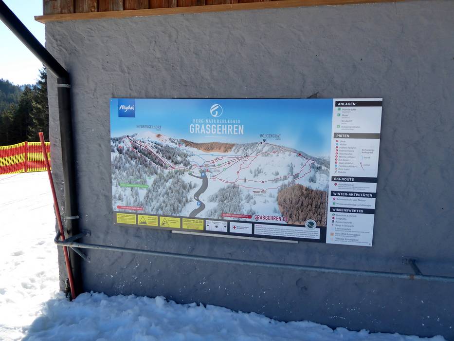
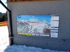
Trail map and overview maps
The slope map provides an excellent representation of the Grasgehren ski area. All slopes, lifts, and additional information are clearly marked. In the complete slope map of the Hörnderdörfer, Grasgehren can also be found in the Hörner Schnee(S)pass.
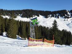
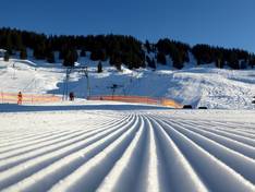
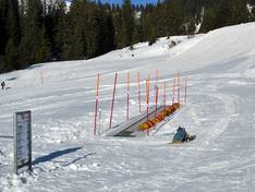
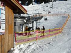
Information boards and sign-postings on the slopes
At the valley stations, the mountain station, and the parking lot, you will find large piste maps. All slopes are signposted with numbers and are very well marked. Warnings are given about potential hazards.
Trail map

Bergbahnen Balderschwang Grasgehren Season 2025/2026

Hörnerdörfer Season 2025/2026
Top Orientation


9 strengths of this ski resort


Feedback for the Skiresort.info Team? Please use this form

Select specific criteria
Top evaluation criteria
Further evaluation criteria
Orientation (trail map, information boards, sign-postings)
Evaluation criteria for special interests
Feedback for the Skiresort.info Team? Please use this form
Test Reports
Tips for the ski holiday