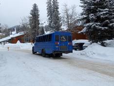
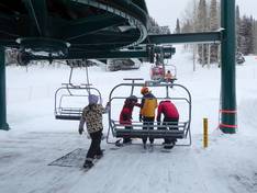
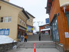
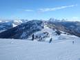
Orientation (Trail map, information boards, sign-postings) and safety in the ski resort Grand Targhee
Trail map and overview maps
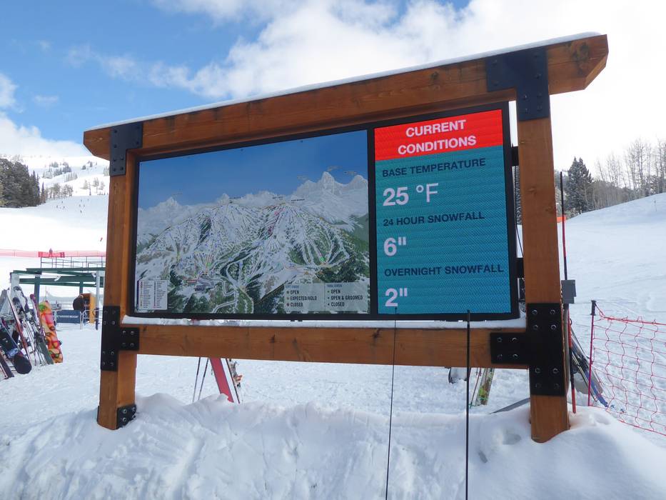
The trail map provides an excellent overview of the entire Grand Targhee ski area. All lifts and trails are clearly marked with detailed information. You will find elevation details, activities, restaurants, parking areas, and all important information. Additionally, there is a separate trail map called Gheeville for families and beginners.
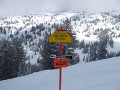
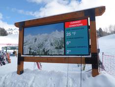
Information boards and sign-postings on the slopes
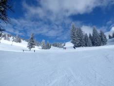
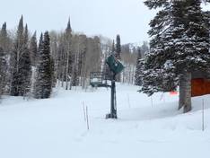
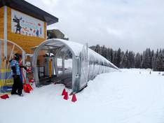
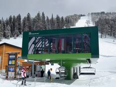
The current operating status of the lifts is displayed digitally in real time at the valley station. Trail maps are also distributed at the mountain stations throughout the ski area. All slopes and runs are excellently signposted and marked. This makes it very easy to find your way around Grand Targhee.


")