Orientation (Trail map, information boards, sign-postings) and safety in the ski resort Flachauwinkl/Kleinarl (Shuttleberg)
Trail map and overview maps
The piste map provides an excellent overview of the Shuttleberg ski area. The lifts are clearly labeled by name, making orientation very easy. Special attractions, the snow park, and the restaurants are also specifically highlighted. Information on ski pass prices and events completes the overview map.
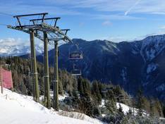
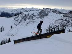
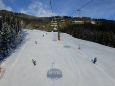
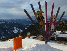
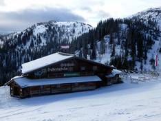
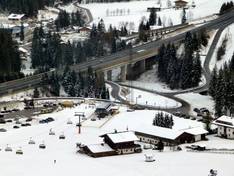
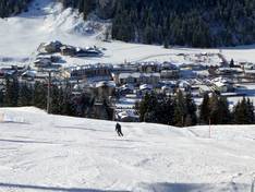
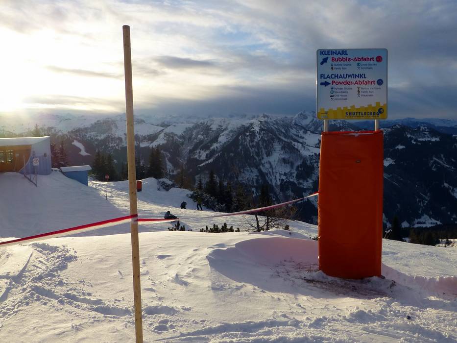
Information boards and sign-postings on the slopes
The signage in the ski area is well designed and consistent. At some central points, an additional slope map could be installed to further improve orientation for skiers. There is no display showing which lifts and slopes are open. Additionally, the edge marking of the slopes could be improved in some areas.
Trail map
Flachauwinkl/Kleinarl (Shuttleberg) Season 2025/2026

")