


29 km Distance - approx. 30 Minutes driving time
Destination - Damüls 74, 6884 Damüls, Austria
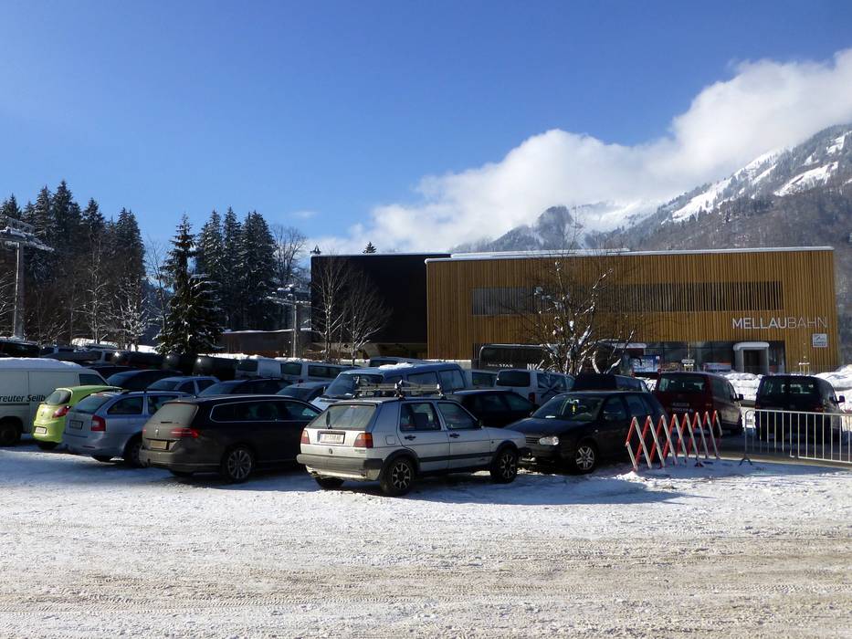
- Ideal entry for day visitors
- View on Google Maps
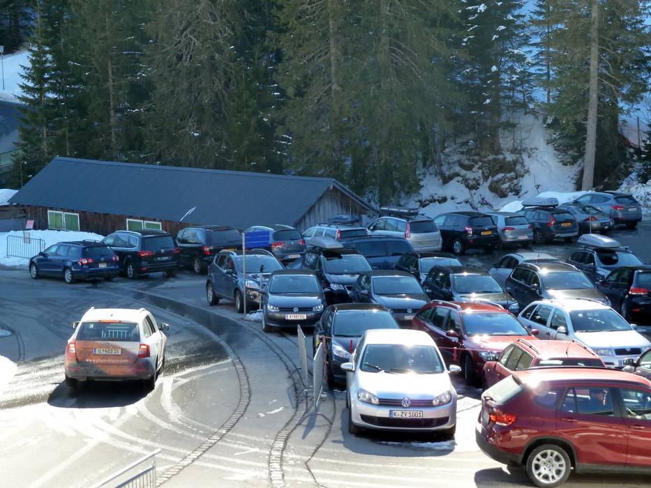
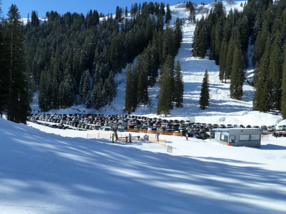
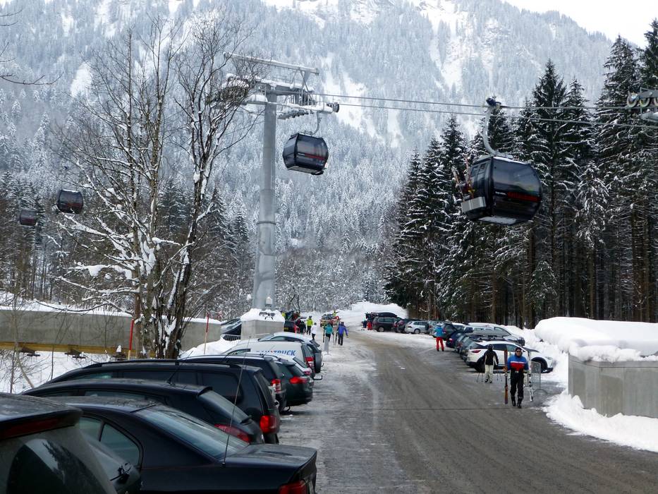
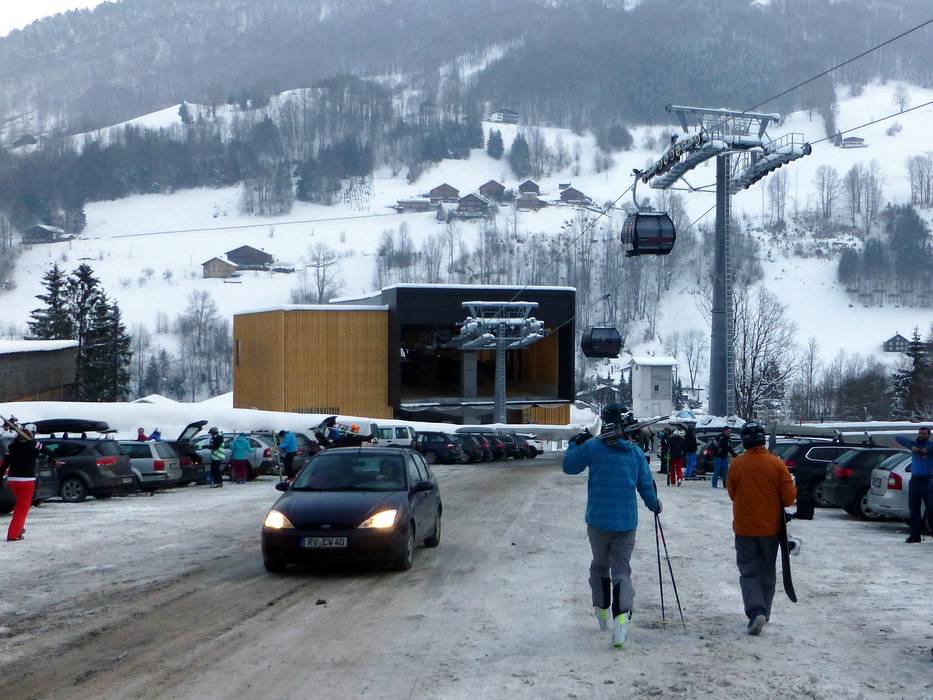
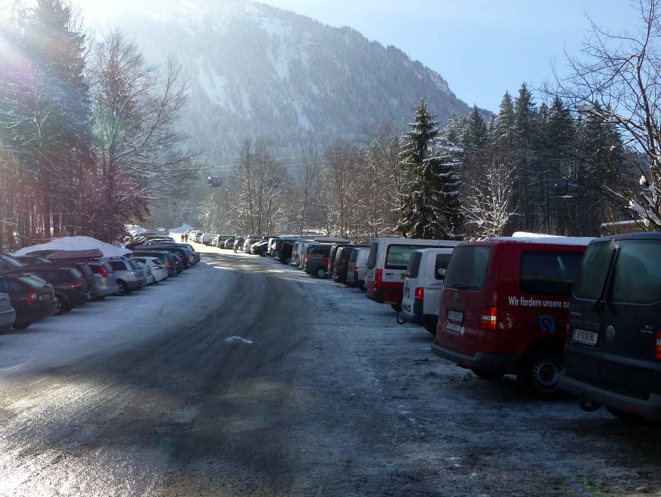
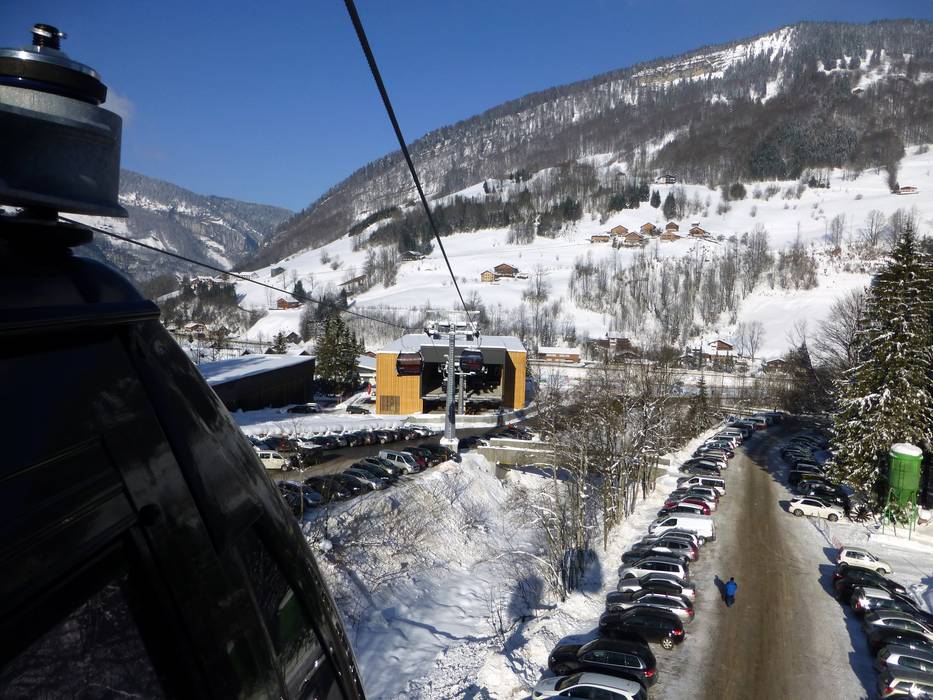
- limited amount available, tarmac car park
- free of charge
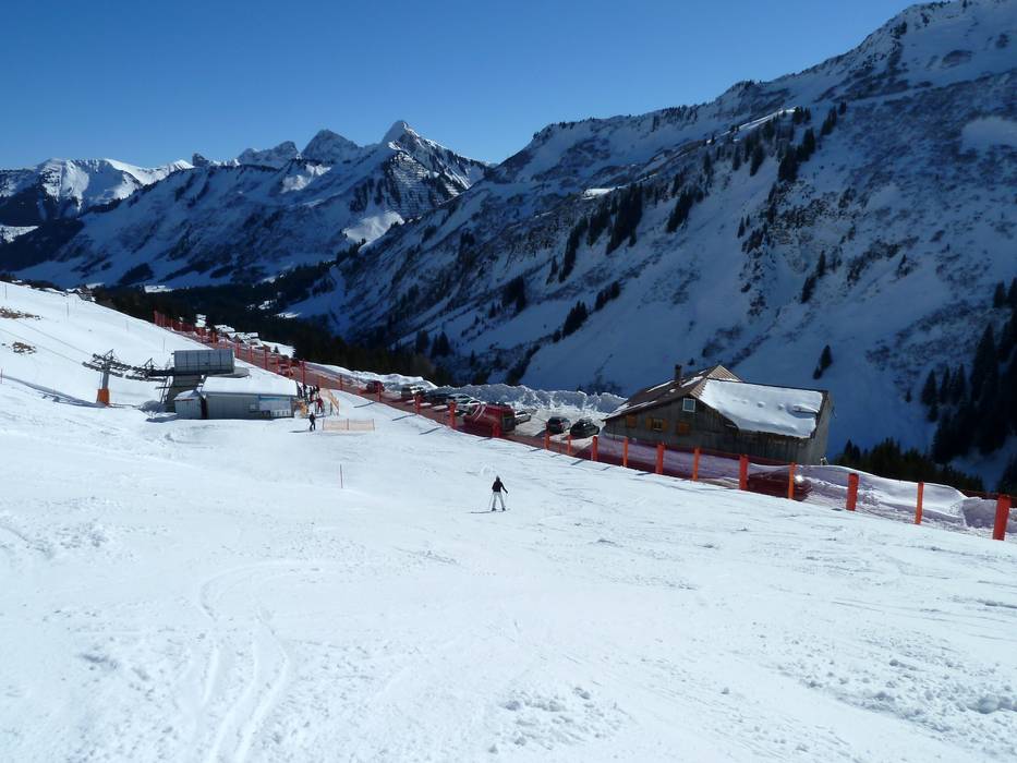
- Side road, Mountain road, with significant incline
- Snow chains sometimes required by snowfall
- Road closure due to avalanches sometimes possible
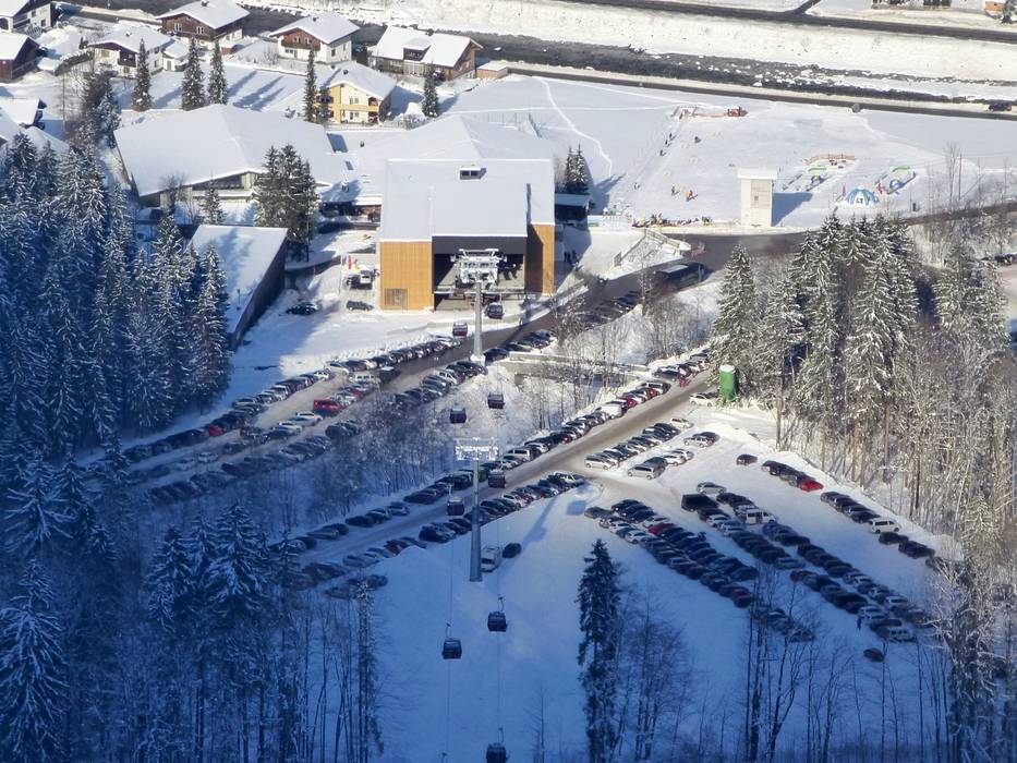
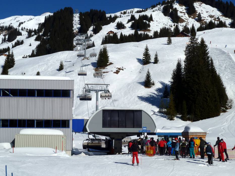
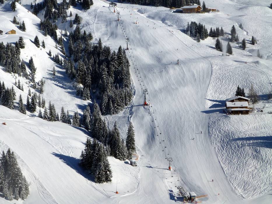
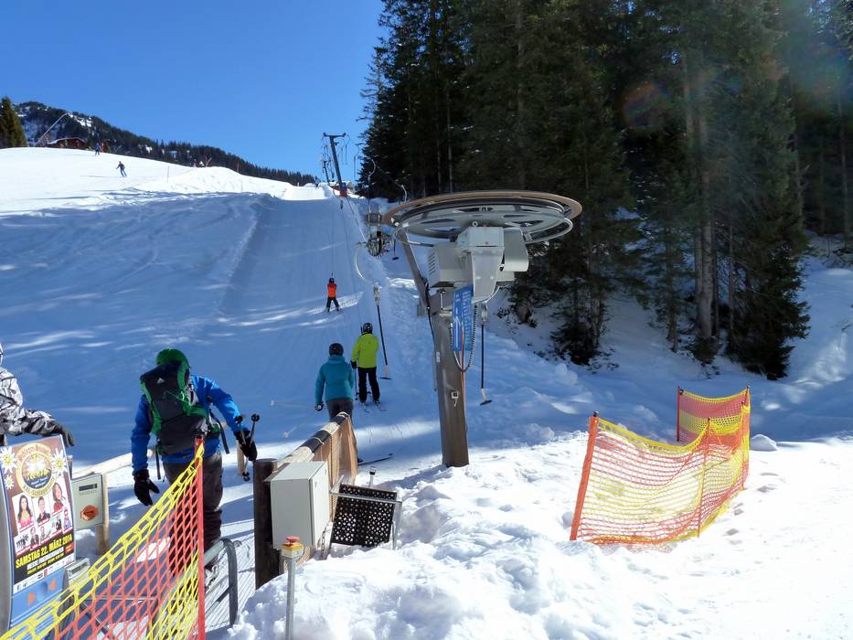
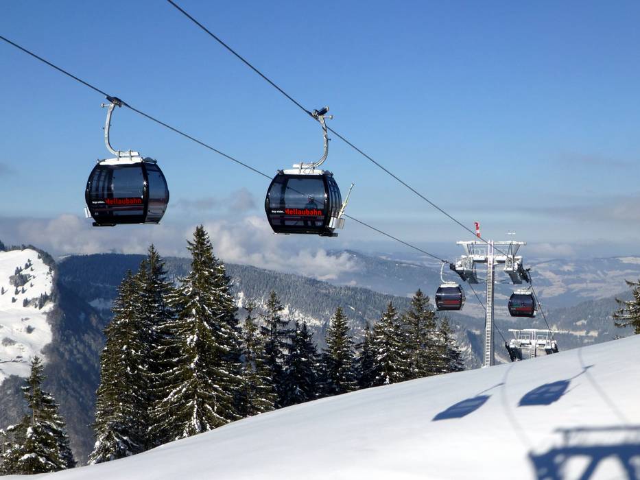
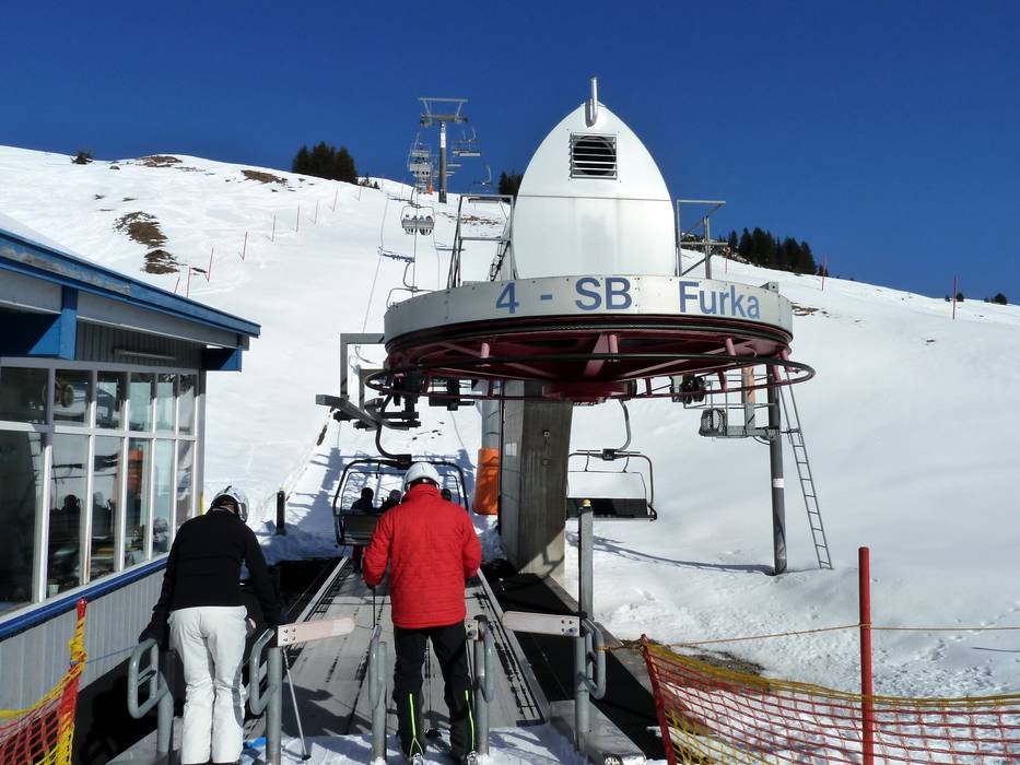
 Access to ski resort
  Town/village close to ski resort
  Traffic Junction