41 km Distance - approx. 35 Minutes driving time
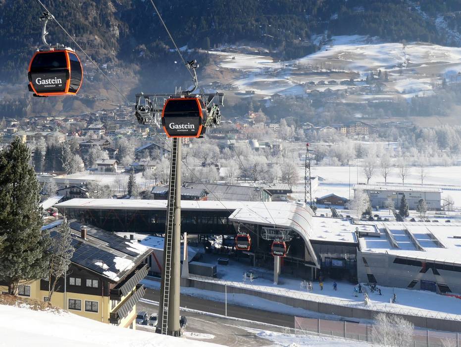
Destination - Schlossalmplatz 1, 5630 Bad Hofgastein, Austria
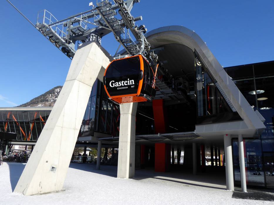
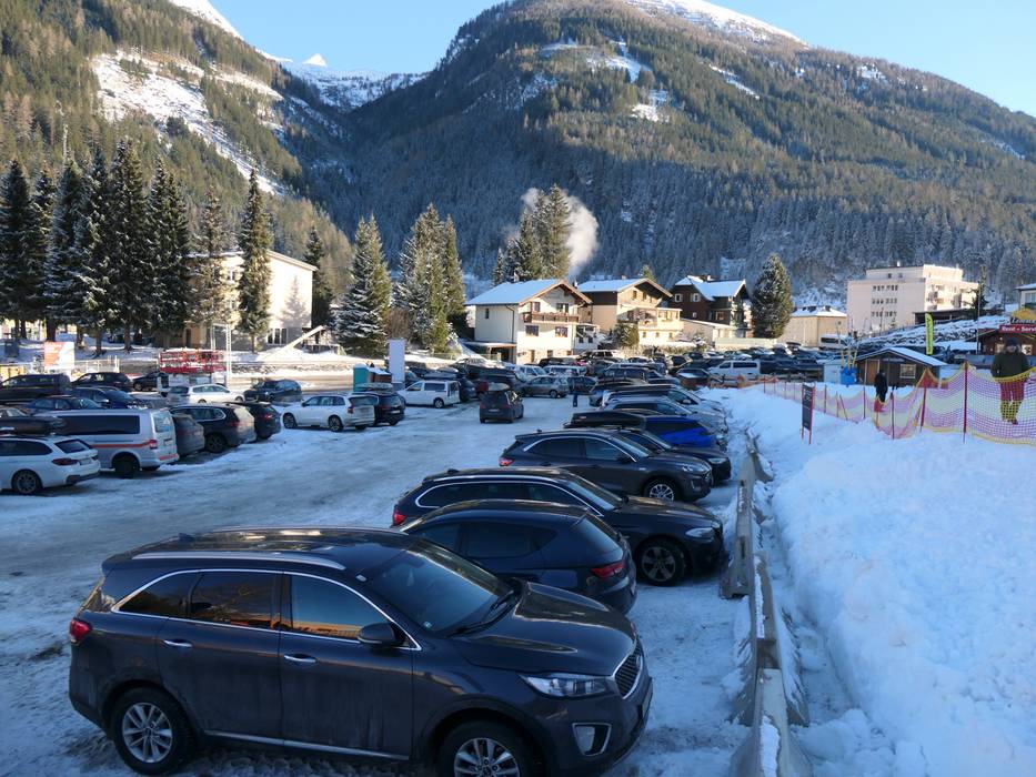
- Ideal entry for day visitors
- View on Google Maps
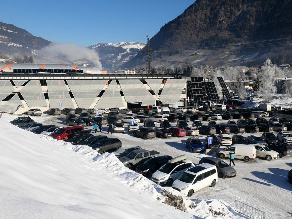
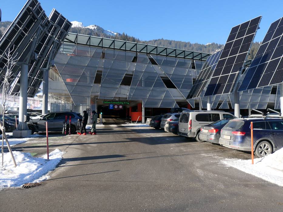
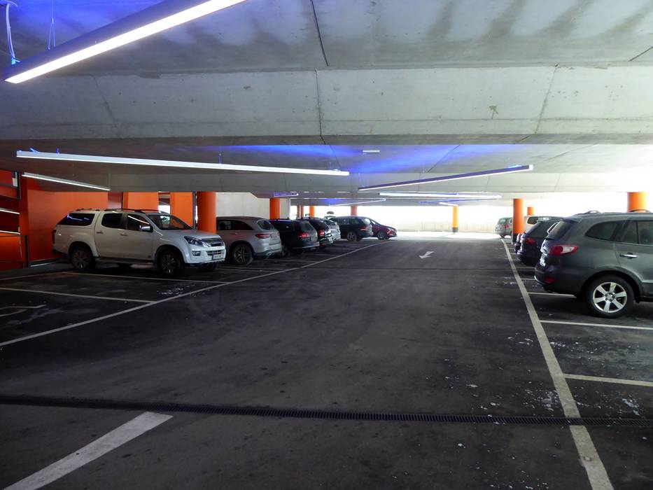
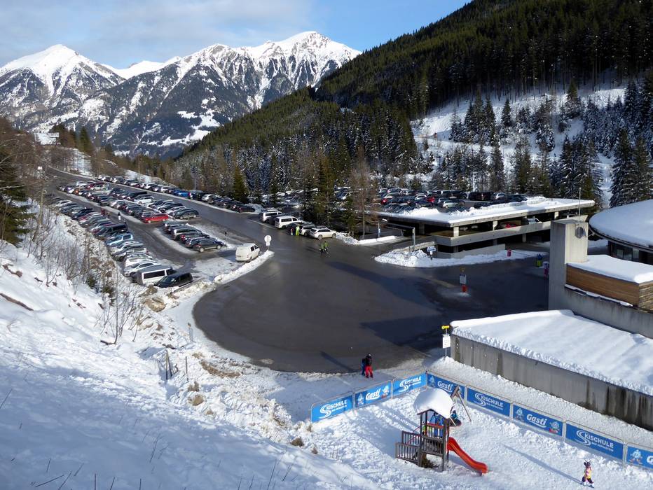
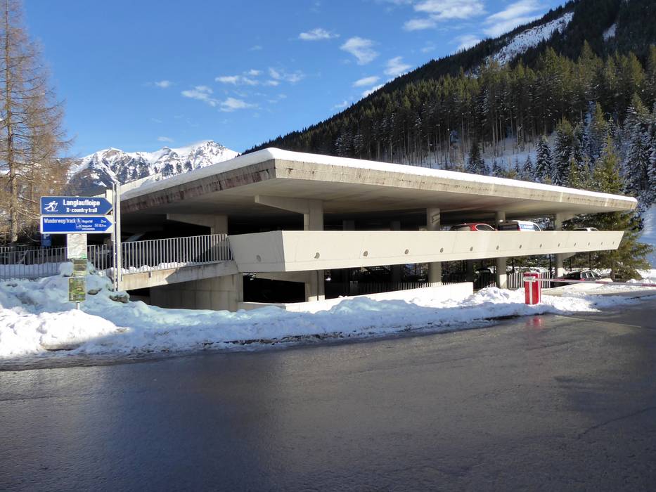
- enough available, covered car park, tarmac car park, gravel car park
- free of charge
- Highway, Main street, Side road, well-developed
- Snow chains almost never required by snowfall
- Road closure due to avalanches unlikely
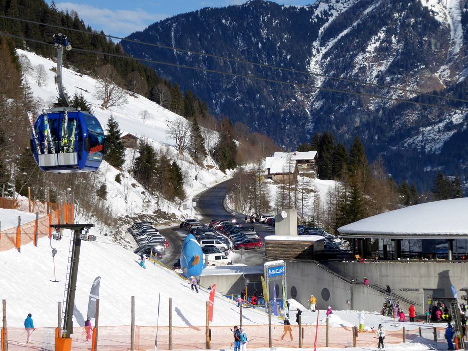
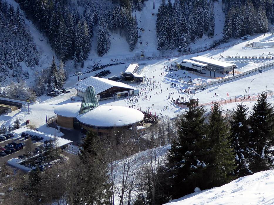
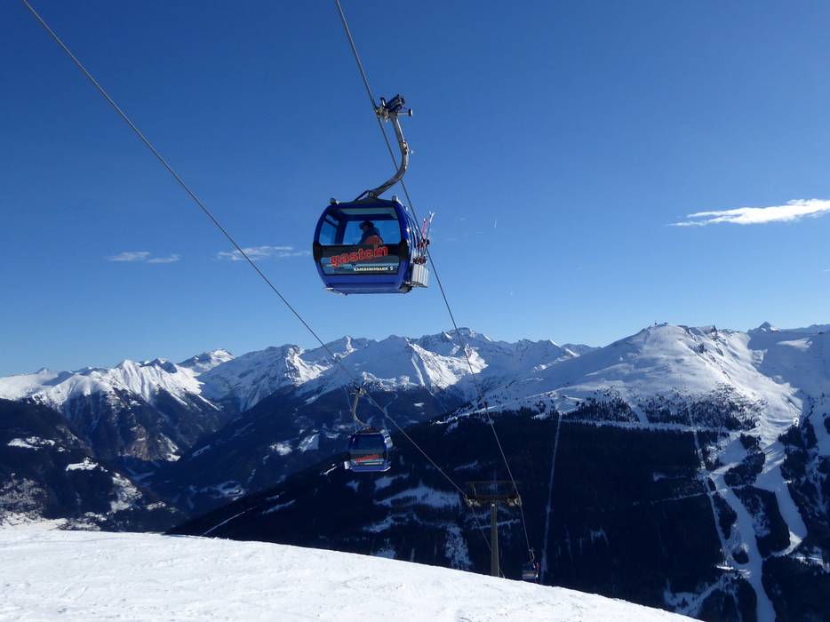
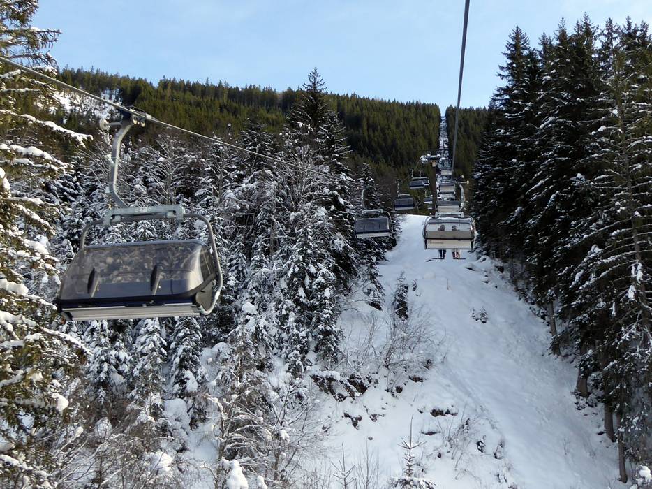
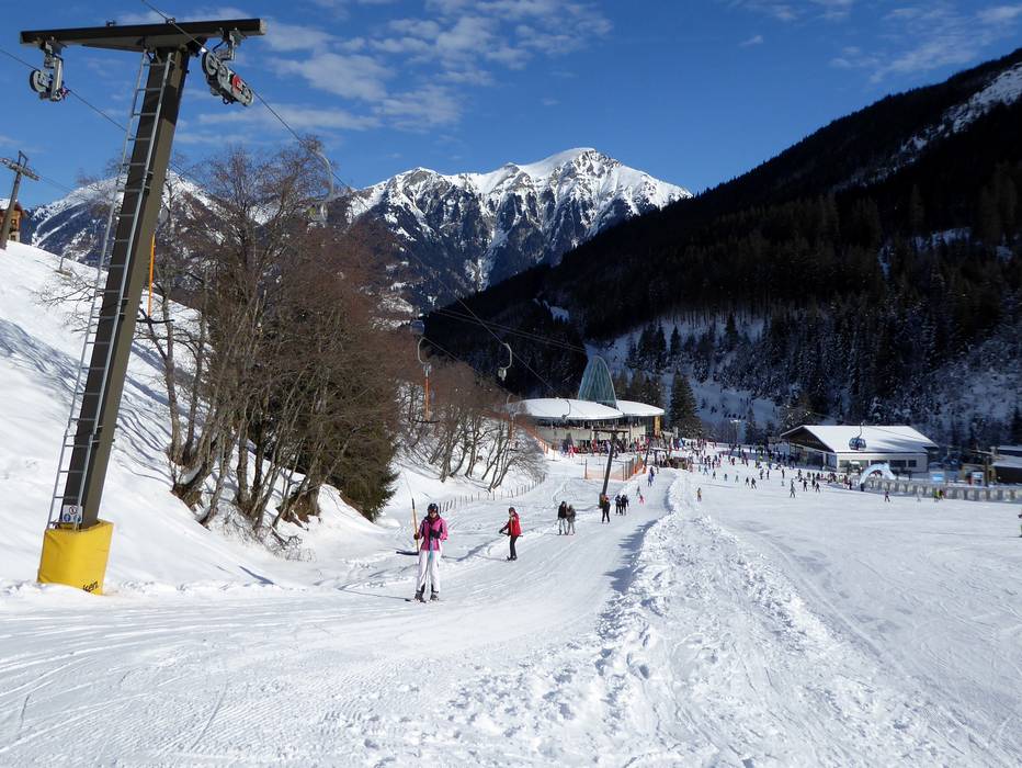
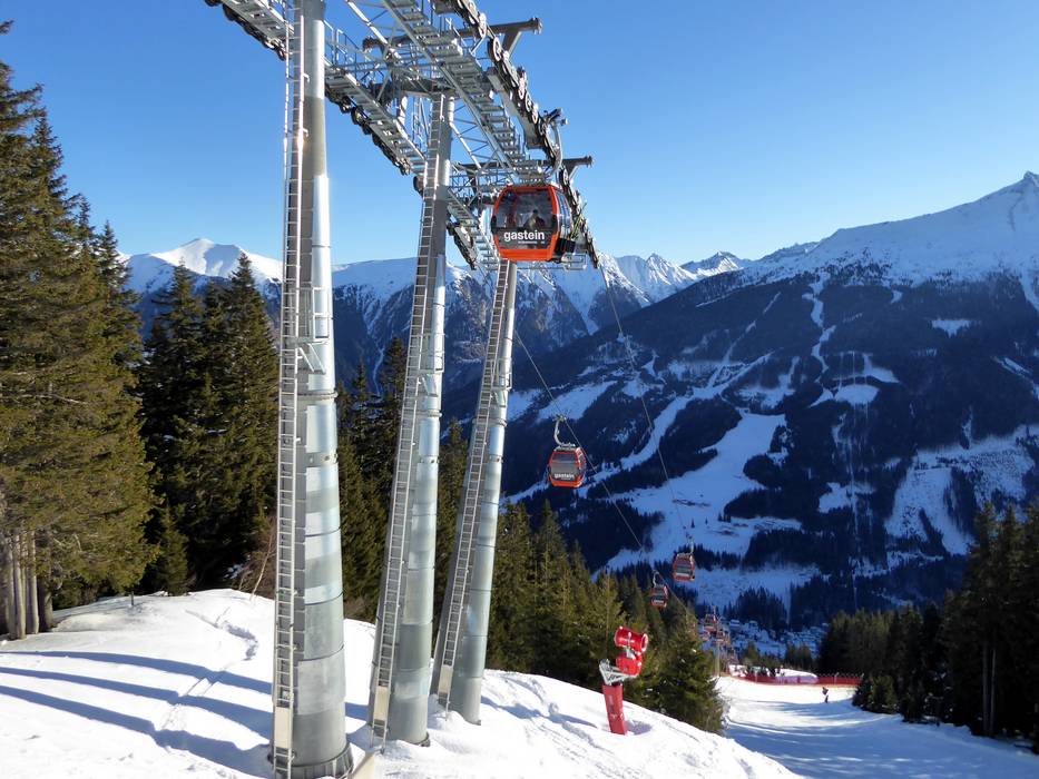
 Access to ski resort
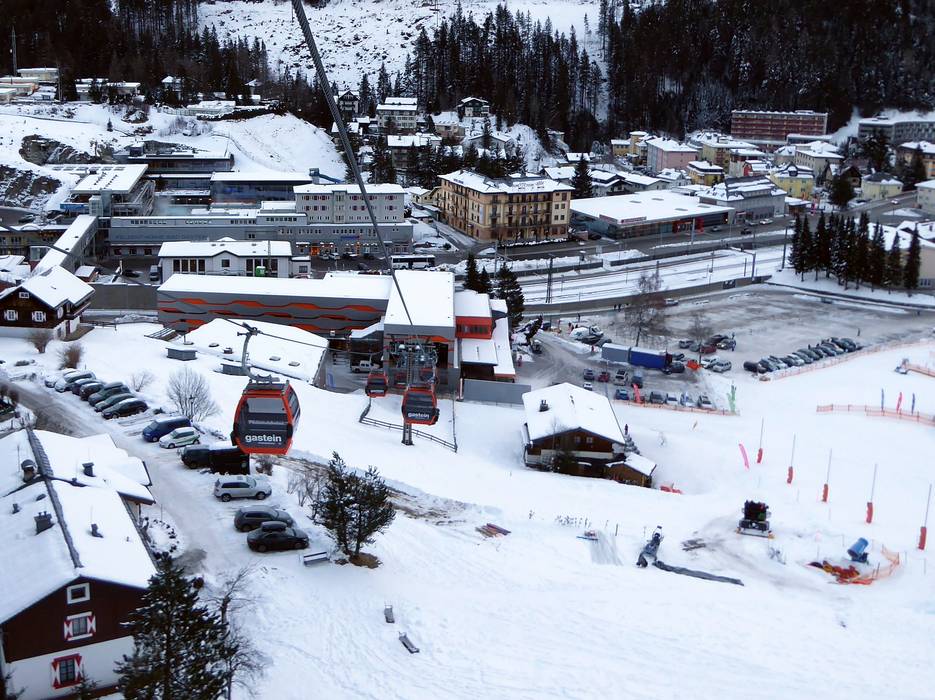
  Town/village close to ski resort
  Traffic Junction