
Evaluated by Skiresort.info, the world's largest test portal for ski resorts.
The evaluation is done as follows
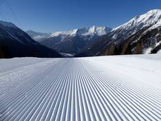
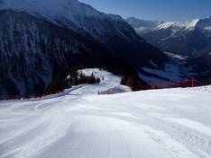
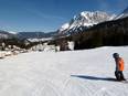
Orientation (Trail map, information boards, sign-postings) and safety in the ski resort Ankogel – Mallnitz
Trail map and overview maps
The piste map provides an excellent overview of the Ankogel ski area. All lifts and slopes are clearly marked. On the reverse side, you will find additional information about the ski areas included in the Ski Hit Kärnten Osttirol ski pass network.
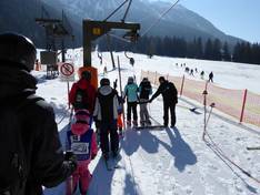
Information boards and sign-postings on the slopes
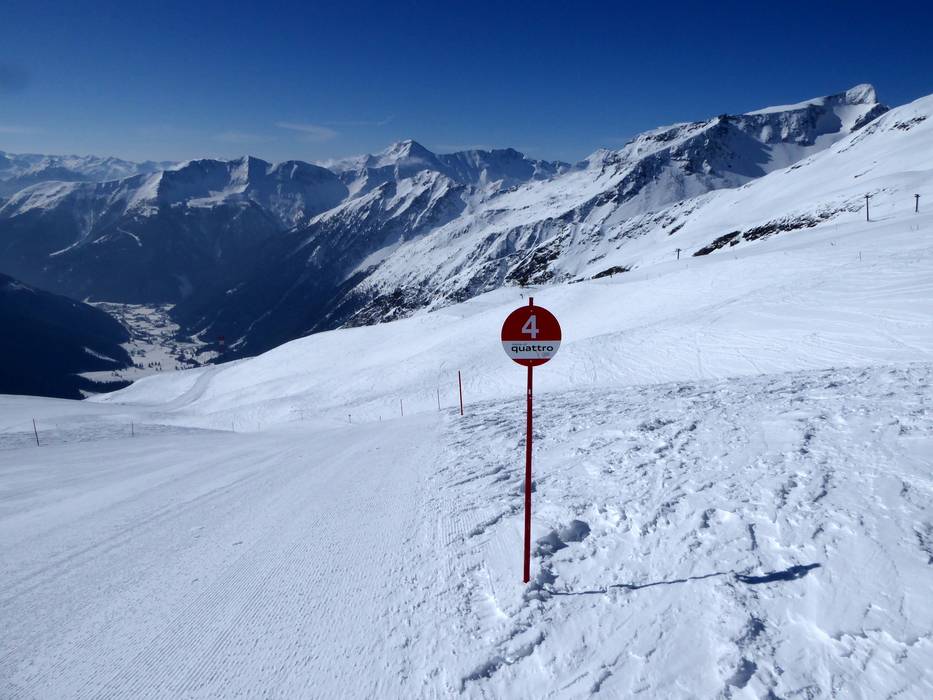
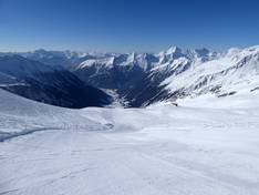
Information boards displaying the slope status are prominently located at the ticket offices and at both the top and mid stations. All slopes are numbered. Only at the junctions are signposts missing.
Trail map

Ankogel – Mallnitz Season 2025/2026
Top Orientation


10 strengths of this ski resort


Feedback for the Skiresort.info Team? Please use this form

Select specific criteria
Top evaluation criteria
Further evaluation criteria
Orientation (trail map, information boards, sign-postings)
Evaluation criteria for special interests
Feedback for the Skiresort.info Team? Please use this form
Test Reports
Tips for the ski holiday