
34 km Distance - approx. 35 Minutes driving time
Destination - Historischer Pfad 1, 59955 Winterberg/Altastenberg, Germany
- Entry suitable for day visitors
- View on Google Maps
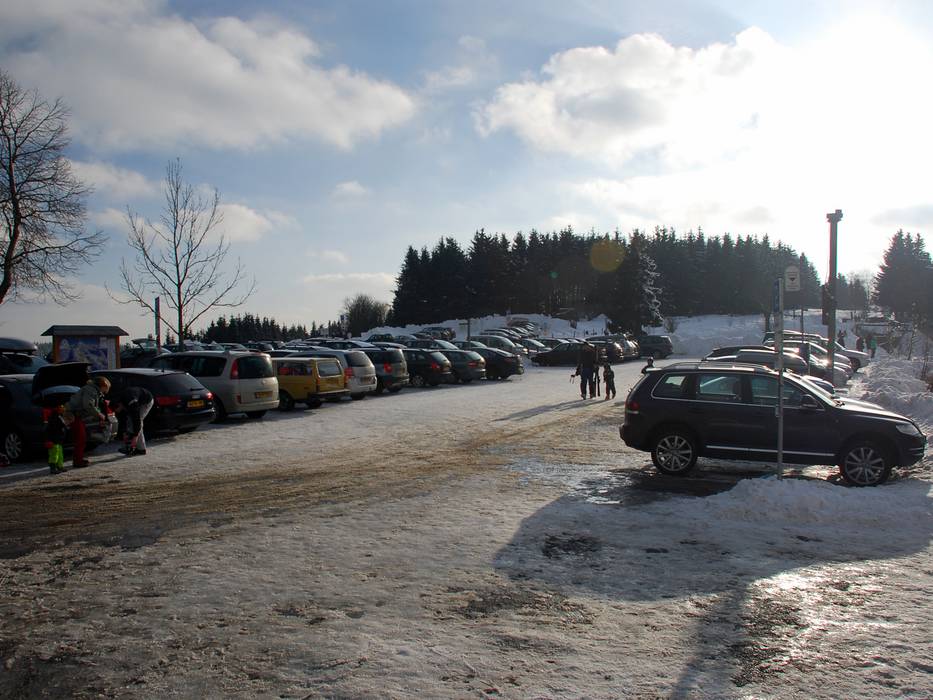
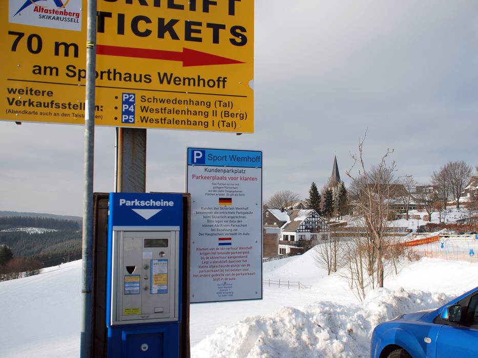
- limited amount available, gravel car park
- for a fee, € 5,- / per day
- Parking meter: 1 euro per hour
- Main street, well-developed, without significant incline
- Snow chains never actually required by snowfall
- No chance of road closure due to avalanches
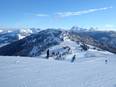
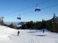
 Access to ski resort
  Town/village close to ski resort
  Traffic Junction