
Evaluated by Skiresort.info, the world's largest test portal for ski resorts.
The evaluation is done as follows
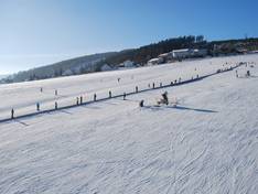
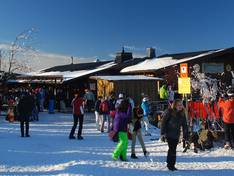
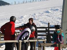
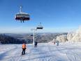
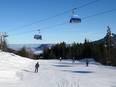
Orientation (Trail map, information boards, sign-postings) and safety in the ski resort Willingen – Ettelsberg
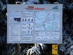
Trail map and overview maps
The trail map is very clear and easy to understand, and the layout of the ski area is presented in an exemplary way. However, the depiction of forested areas and the course of the runs differs somewhat from reality, so for example, between Köhlerhagen and the cable car, it is not always easy to tell which run you are actually on. But since they all end at the cable car, this is not a problem.
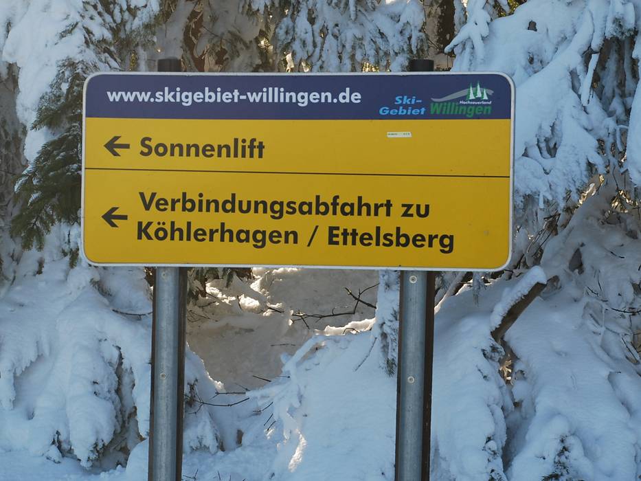
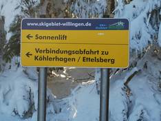
Information boards and sign-postings on the slopes
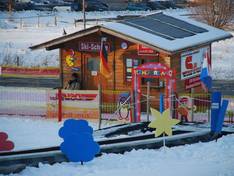
At the access points, there are large information boards, and within the ski area, the connecting slopes between the individual sections are especially well marked.
Trail map

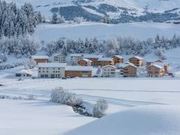
Willingen Season 2025/2026
Top Orientation


8 strengths of this ski resort


Feedback for the Skiresort.info Team? Please use this form

Select specific criteria
Top evaluation criteria
Further evaluation criteria
Orientation (trail map, information boards, sign-postings)
Evaluation criteria for special interests
Feedback for the Skiresort.info Team? Please use this form
Test Reports
Tips for the ski holiday