Orientation (Trail map, information boards, sign-postings) and safety in the ski resort Vigiljoch (Monte San Vigilio) – Lana
Trail map and overview maps
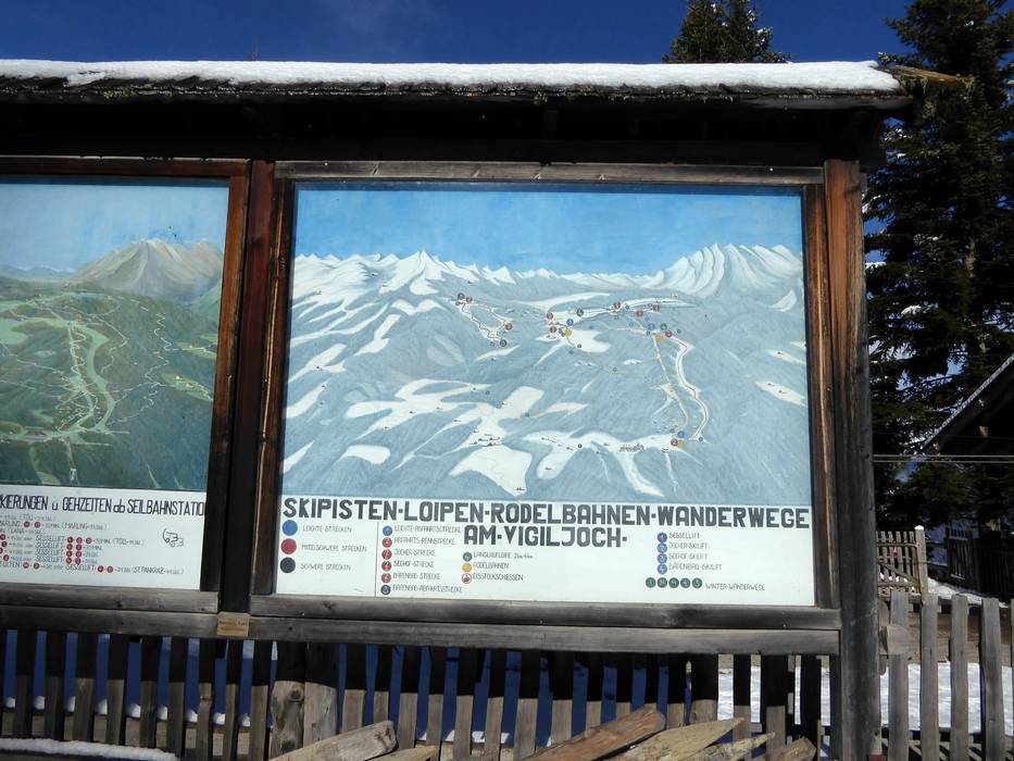
The slope map shows Vigiljoch with all slopes, lifts, toboggan runs, and hiking trails. In some cases, it is unclear in which direction the slopes and lifts lead. The two platter lifts, Jocher and Seehof, meet at the mountain station. For hikers, several hiking suggestions are included. On the reverse side, you will find information about places to stop for refreshments and timetables.
Information boards and sign-postings on the slopes
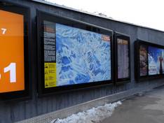
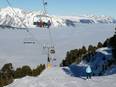
At the mountain station of the cable car and the single chairlift, you will find a piste map showing the ski lifts and pistes. The pistes are marked with simple signs. In general, current operating information may also be provided.