Orientation (Trail map, information boards, sign-postings) and safety in the ski resort Tänndalen
Trail map and overview maps
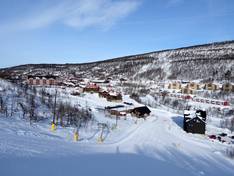
Getting your bearings in the Tänndalen ski area is easy and user-friendly. A clear and well-structured trail map helps you quickly find your way around the entire area. All lifts, slopes, dining options, and many other details are listed. On the back, you'll also find a map of the Hamry Syd ski touring area.
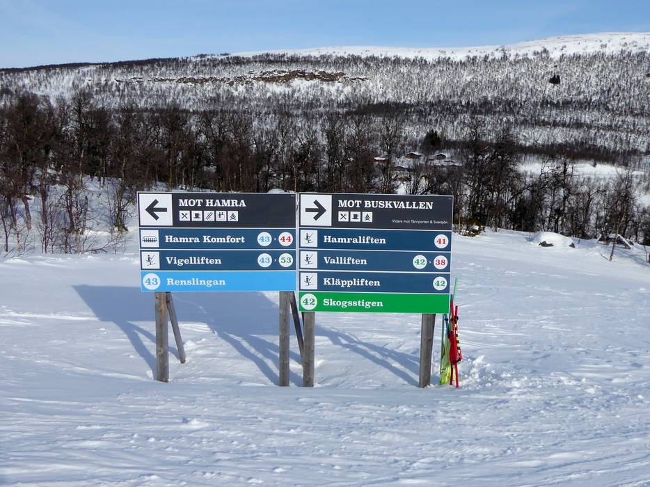
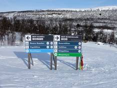
Information boards and sign-postings on the slopes
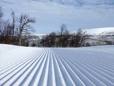
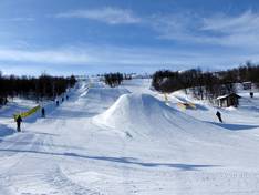
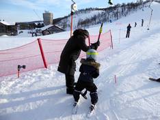
Well-marked slopes and lift facilities on site ensure additional safety and orientation, allowing both beginners and experienced skiers to move around with ease. The individual slopes and runs are uniformly numbered from No. 1 to No. 54. However, up-to-date operating information can only be found on the Tänndalen website.