Orientation (Trail map, information boards, sign-postings) and safety in the ski resort Sun Peaks
Trail map and overview maps
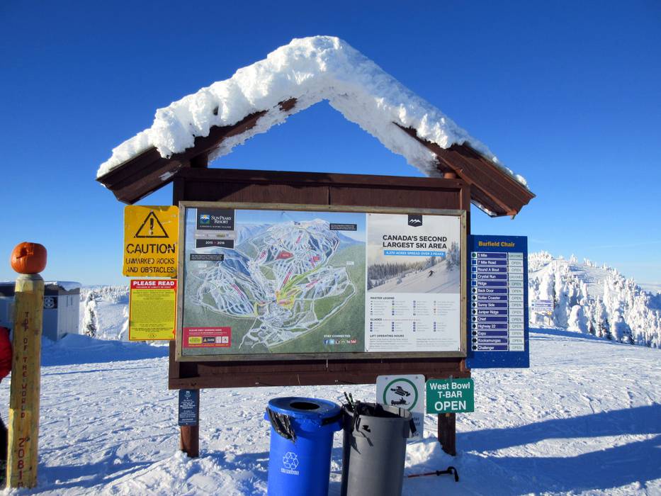
The trail map provides an excellent overview of the entire Sun Peaks ski area. All lifts, trails, mountain peaks, and parking areas are marked. Each run is labeled with its name. Additional details such as elevation information and lift details can also be found on the trail map. On the reverse side, there is a village map with all restaurants, detailed information, and ski pass prices.
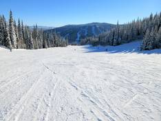
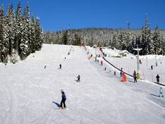
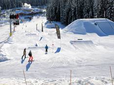
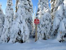
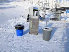
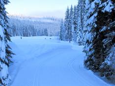
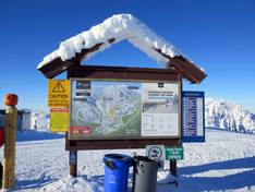
Information boards and sign-postings on the slopes
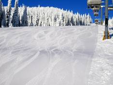
Every slope in the Sun Peaks ski area is marked with a name. At all mountain stations, you will find trail maps and information about the current operating status and freshly groomed slopes. This ensures you can always find your way around the ski area with ease.