Evaluated by Skiresort.info, the world's largest test portal for ski resorts.
The evaluation is done as follows
Orientation (Trail map, information boards, sign-postings) and safety in the ski resort Stöten
Trail map and overview maps
The slope map provides an excellent overview of the Stöten ski area in Sälen. All lifts, slopes, attractions, dining options, and parking areas are marked. On the back, you will find QR codes for the individual dining options.
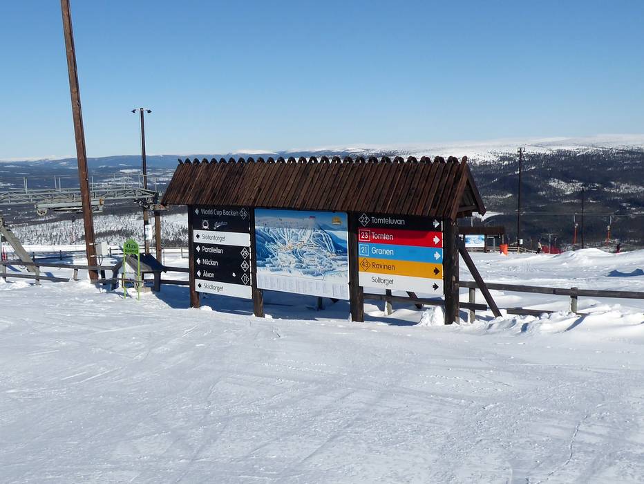
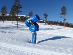
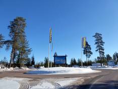
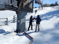
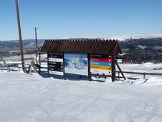
Information boards and sign-postings on the slopes
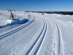
In the Stöten ski area, the slopes are all very well signposted with large piste maps. However, up-to-date operating information about open lifts and slopes can only be found online in the app or on the ski area's website.
Trail map

Stöten Season 2025/2026
Top Orientation


14 strengths of this ski resort


Feedback for the Skiresort.info Team? Please use this form
Select specific criteria
Top evaluation criteria
Further evaluation criteria
Orientation (trail map, information boards, sign-postings)
Evaluation criteria for special interests
Feedback for the Skiresort.info Team? Please use this form
Book this ski resort
Test Reports

Tips for the ski holiday