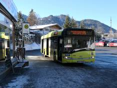
Orientation (Trail map, information boards, sign-postings) and safety in the ski resort Steinplatte Winklmoosalm – Waidring/Reit im Winkl
Trail map and overview maps
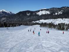
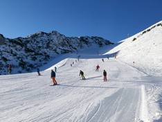
The slope map provides an excellent representation of the cross-border ski area. All lift facilities are individually shown with icon, name, type, and length. The slopes are very easy to identify. All other important points in the ski area are displayed.
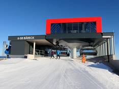
Information boards and sign-postings on the slopes
The piste guidance system is very well designed. The slopes are clearly signposted and the lifts are very well marked with large overhead signs. The signage to Steinplatte (Austria) and Winklmoosalm (Germany) is very clear. Large information boards at many locations throughout the ski area make it easy to find your way around. The snow park rules displayed on lift tower signs are also worth mentioning.