Test result
Evaluated by Skiresort.info, the world's largest test portal for ski resorts.
The evaluation is done as follows
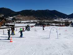
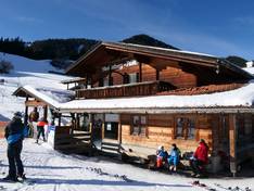
Orientation (Trail map, information boards, sign-postings) and safety in the ski resort Steckenberg – Unterammergau
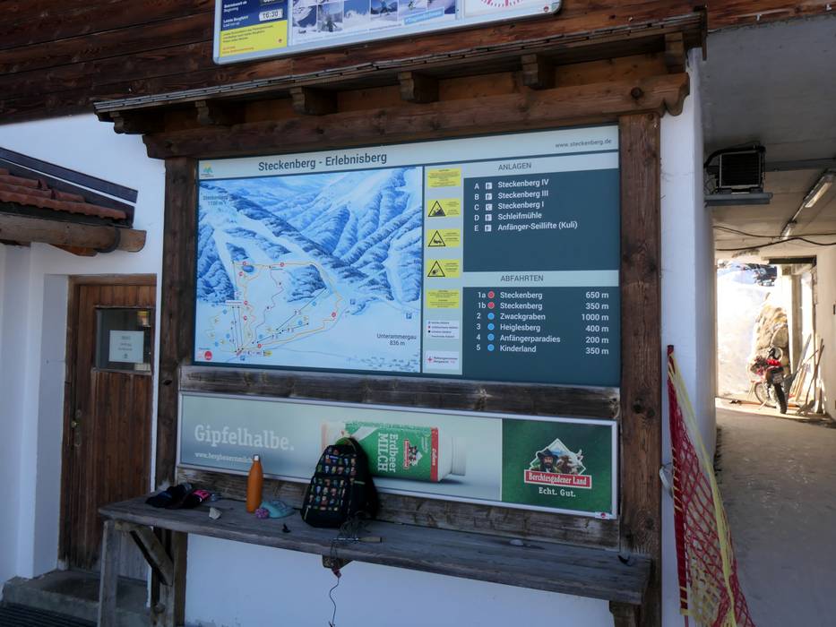
Trail map and overview maps
The slope map on the information board provides a very good overview of the ski area. There are no slope maps available to take with you.
Information boards and sign-postings on the slopes
There is no signage on the slope. The slopes are bordered on the sides.
Trail map

Steckenberg – Unterammergau Season 2025/2026
Top Orientation


8 strengths of this ski resort
Feedback for the Skiresort.info Team? Please use this form
Select specific criteria
Top evaluation criteria
Further evaluation criteria
Orientation (trail map, information boards, sign-postings)
Evaluation criteria for special interests
Feedback for the Skiresort.info Team? Please use this form
Book this ski resort
Test Reports
Tips for the ski holiday