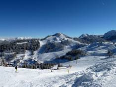
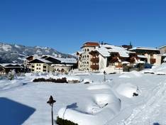
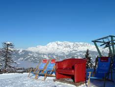
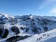
Orientation (Trail map, information boards, sign-postings) and safety in the ski resort Snow Space Salzburg – Flachau/Wagrain/St. Johann-Alpendorf
Trail map and overview maps
The pocket piste map provides a detailed yet clear overview of the entire ski area. Each lift is named on the map and listed again at the edge, with pictograms indicating the type of lift and its transport capacity. The slopes and mountain huts are numbered; the huts are also listed with their name, number, and telephone number. A legend explains the pictograms and defines the markings. On the reverse side, you’ll find important phone numbers and additional useful information about events, night skiing, the ski bus, and special offers.
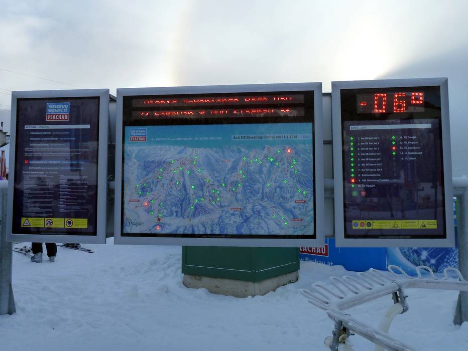
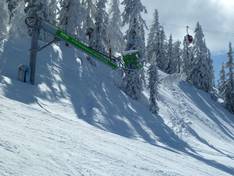
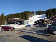
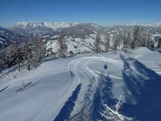
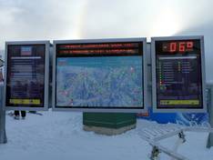
Information boards and sign-postings on the slopes
Although the signage in the ski area is not completely uniform, all directions and destinations are clearly marked even between the different sectors. In the valley and at some mountain stations, there are also electronic boards with real-time information. At the lifts, operating times are clearly displayed everywhere, along with a clock and usually even a thermometer. Hazardous areas such as intersections and the end of the slope are marked with warning signs, and in areas with limited visibility, prominent, large-format hazard warnings encourage skiers to adjust their speed.
Trail map
Snow Space Salzburg – Flachau/Wagrain/St. Johann-Alpendorf & Flachauwinkl/Kleinarl/Zauchensee Season 2025/2026